Little Rock Lake
Campground
Campground · 2.4 mi from the trail
 Photo: Dakota Duff, CC BY-SA 2.0 (via Wikimedia Commons)
Road closed
US 34: road closure is listed as closed by CDOT 511.
US 34: road closure
Closed · ~0.5 km from Sundance Mountain · CDOT 511
Trail Ridge Road is Closed to Through Travel for the Season
Park closure covering Rocky Mountain National Park · NPS · Rocky Mountain National Park
As of · Source: CDOT 511. Agencies don't list every closure — check before you go.
Sundance Mountain is a summit in Larimer County, Colorado, at about 12,466 feet. It sits in Rocky Mountain National Park and the Rocky Mountain National Park Wilderness.
Little Rock Lake
Campground
Images of Rocky Mountain National Park
Gallery
Places © OpenStreetMap contributors, Places © Overture Maps Foundation
More in Estes ParkDaily highs and lows, wind and the chance of precipitation at the summit for the next 7 days, from the Open-Meteo model.
Elevation from USGS 3D Elevation Program terrain data (about 10 m resolution).
We don't know of a mapped trail or route to the summit of Sundance Mountain. Plan the approach with local maps, a guidebook or a local guide, and check conditions before you go.
12,466 ft (3,800 m).
We don't know of a mapped trail or route to the summit. Plan the approach with local maps, a guidebook or a local guide.


 Rock CutHikingPhoto: Stabbur's Master, CC BY-SA 2.0 (via Flickr)1.2 mi
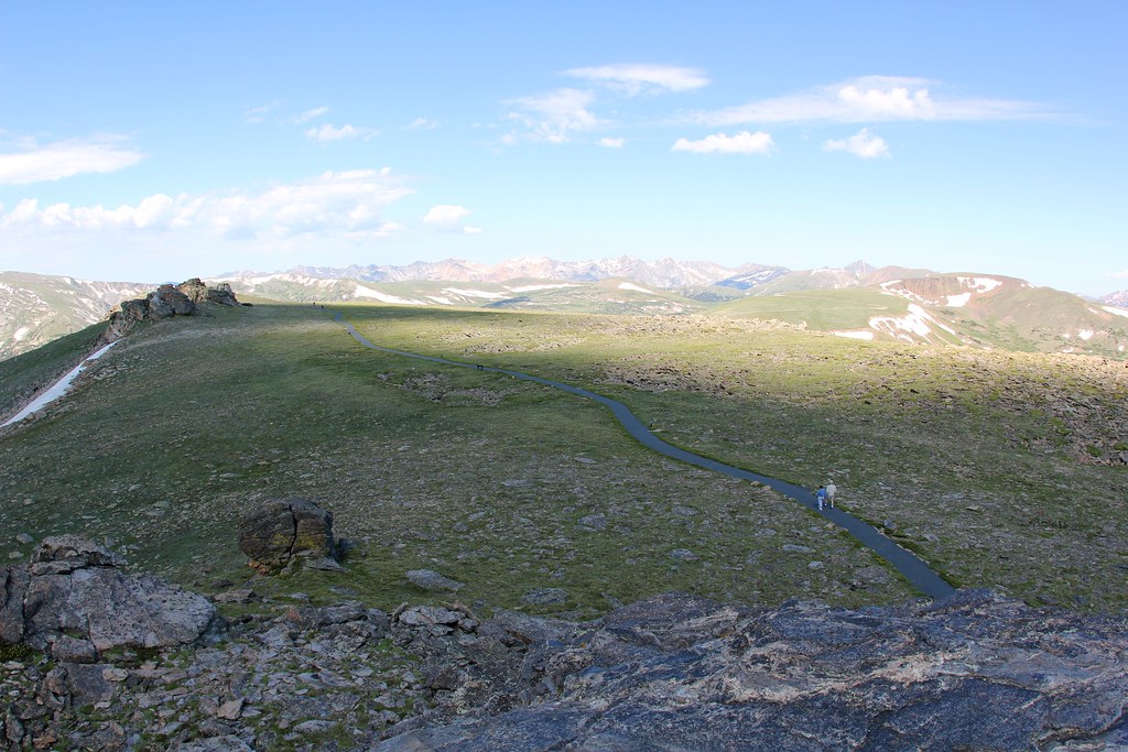 Tundra Communities TrailHikingPhoto: daveynin — CC BY 2.0 (via Flickr)1.2 mi
 Rock Of AgesRock climbingPhoto: lamblukas, CC BY 2.0 (via Flickr)4.9 mi
Source: Roamze catalog (indexable pages within 10 miles, PostGIS distance)
Mount ChiquitaSummit · ~5 min drivePhoto: Rationalobserver, CC BY-SA 4.0 (via Wikimedia Commons) Terra Tomah MountainSummit · ~5 min drivePhoto: mark byzewski, CC BY 2.0 (via Wikimedia Commons)
 Mount JulianSummit · ~6 min drivePhoto: Thomson200, CC0 (via Wikimedia Commons)Ypsilon MountainSummit · ~6 min drivePhoto: James St. John, CC BY 2.0 (via Wikimedia Commons)
 Stones PeakSummit · ~6 min drivePhoto: mark byzewski, CC BY 2.0 (via Wikimedia Commons)
 Chief Cheley Peak (not official)Summit · ~8 min drivePhoto: sbmeaper1, CC0 (via Wikimedia Commons)Mount IdaSummit · ~8 min drivePhoto: Paul Hermans, CC BY-SA 3.0 (via Wikimedia Commons)
 Sprague MountainSummit · ~8 min drivePhoto: NPS Photo/M.Reed, Public domain (via Wikimedia Commons)Fairchild MountainSummit · ~8 min drivePhoto: Thomson200, CC0 (via Wikimedia Commons)
 Little MatterhornSummit · ~10 min drivePhoto: KimonBerlin, CC BY-SA 2.0 (via Wikimedia Commons)

