Mount Greylock
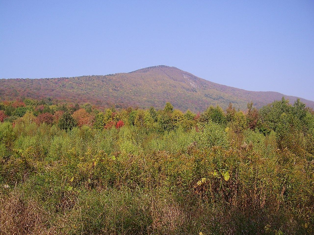 Photo: Jstergis, CC BY 3.0 (via Wikimedia Commons)
At a glance
Mount Greylock is a summit in Massachusetts on the Appalachian National Scenic Trail, about 2.5 miles from the town of Adams. It sits within the corridor of the long-distance footpath, so the summit can be reached by hikers following the Appalachian Trail as well as by the local trails that branch off nearby. Several of those routes start close to the top. The Overlook Trail lies about 0.1 mile away, the Bellows Pipe Trail about 0.6 mile, and the Gould Trail about 0.8 mile, giving hikers a choice of ways to build a trip around the peak. For time on the water, the Hoosic River offers canoeing roughly 4 miles from the summit.
- summit
- 3,492 ft
- ways up
- 2
Where it is: Appalachian National Scenic Trail
Near: North Adams
Been here? Tell people how it was.
- Overlook TrailModerateabout 1,570 ft of climbing3.2 mi round trip
- Appalachian Trail/long TrailExpertabout 6,939 ft of climbing29.1 mi
Compare the routes Overlook Trail Appalachian Trail/long Trail Climbing About 1,570 ft About 6,939 ft Round trip 3.2 mi 29.1 mi Difficulty Moderate Expert Terrain Hike Hike Map © Mapbox © OpenStreetMap contributors - Stony Ledge2,582 ft · Massachusetts1 route1.5 mi away
- Rounds Rock2,583 ft · Massachusetts1 route3.7 mi away
- Mason Hill1,131 ft · Massachusetts4 routes7.5 mi away
- Honwee Mountain2,306 ft · Massachusetts1 route11 mi away
- Todd Mountain1,694 ft · Massachusetts1 route11 mi away
- Pine Mountain2,209 ft · Massachusetts1 route13 mi away
- Overlook TrailHiking0.1 mi
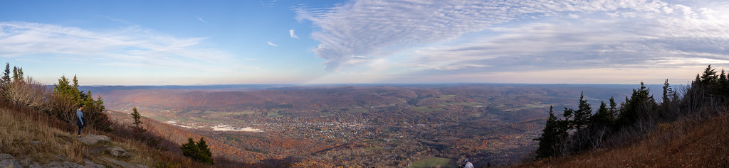 Bellows Pipe TrailHikingPhoto: Ktr101, CC BY-SA 2.0 (via Flickr)0.6 mi
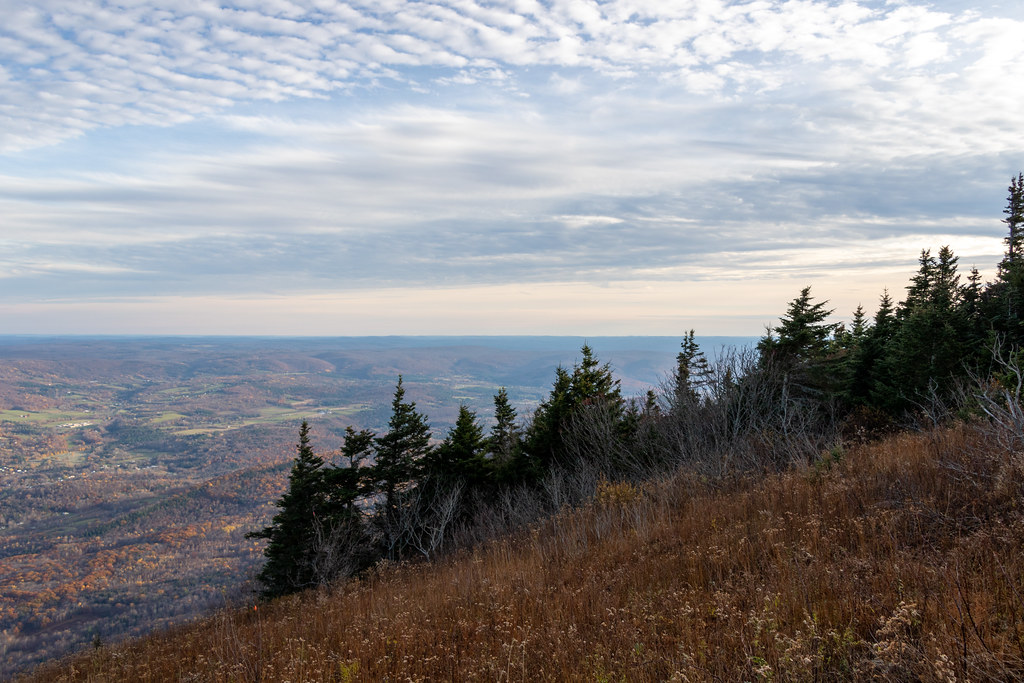 Gould TrailHikingPhoto: Ktr101, CC BY-SA 2.0 (via Flickr)0.8 mi
- March Cataract TrailHiking1.1 mi
 Hoosic RiverCanoeingPhoto: John Phelan, CC BY 3.0 (via Wikimedia Commons)4.2 mi
- Clark CragRock climbing5.2 mi
- Cheshire ReservoirLake fishing7.3 mi
- Old Seth Warner Shelter SiteCamping9.4 mi
 Stone MountainSummitPhoto: KyleAndMelissa22, Public domain (via Wikimedia Commons)~35 min drive
 Hogback MountainSummitPhoto: Madereugeneandrew, CC BY-SA 4.0 (via Wikimedia Commons)~43 min drive
 Monument MountainSummitPhoto: Tom Walsh, CC BY-SA 3.0 (via Wikimedia Commons)~48 min drive
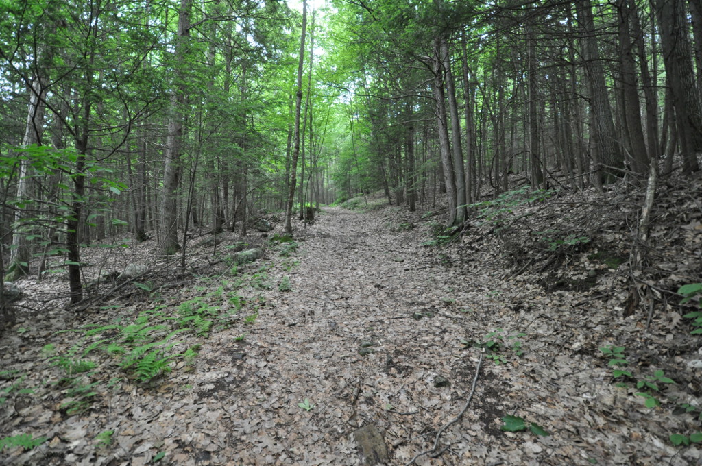 Petticoat HillSummitPhoto: User:Magicpiano, CC BY-SA 4.0 (via Wikimedia Commons)~48 min drive
- Mount FitchSummit~2 min drive
- Stony LedgeSummit~3 min drive
- Mount WilliamsSummit~4 min drive
- Rounds RockSummit~6 min drive
- East MountainSummit~13 min drive
- Mason HillSummit~13 min drive
Conditions and forecast
Daily highs and lows, wind and the chance of precipitation at the summit and route start for the next 7 days, from the Open-Meteo model.
Questions about Mount Greylock
How tall is Mount Greylock?
3,492 ft (1,064 m).
How many routes go to the summit of Mount Greylock?
2: Overlook Trail and Appalachian Trail/long Trail.
What is the shortest route up Mount Greylock?
Overlook Trail, about 3.2 mi round trip.
Ask about this place
Questions about Mount Greylock: conditions, access, timing. Answers say when something isn't known.
