Moore Hill
At a glance
Moore Hill is a summit in western Massachusetts, rising to about 1,700 feet. The nearest town is South Deerfield, roughly 10 miles away. Summer is the most comfortable time to go. Typical averages from a nearby weather station at a similar elevation show July highs around 75°F with lows near 53°F, while winter highs stay in the 20s. Several trails start close by. The NEMBA Trail is about 0.1 mile away and the Bobcat Trail about 0.2 mile. The D.A.R. Trail is roughly 1.7 miles off, and the Hen Hawk Trail is about 4.6 miles away.
- summit
- 1,700 ft
- way up
- 1
- best months
- Mid-Apr–early Nov
Near: South Deerfield, Massachusetts · 9.9 mi
Best weeks to go
Mid-April to early November is usually best for the summit here.
Typical highs of 50–75°F and lows of 30°F or warmer in those weeks.
Typical weather: NOAA 1991–2020 normals at E Hawley, MA, 9 mi away. Not a forecast.
Typical weather by monthBest time to visit Moore Hill
Best months: April–October. Best months are the ones mostly made of the best weeks for the summit: typical temperatures in its comfortable range, few snowy days and not usually wet, judged with the same limits as our good-day forecasts.
Jan
28°
9°
Feb
31°
11°
Mar
39°
19°
Apr
51°
30°
May
63°
40°
Jun
70°
50°
Jul
75°
53°
Aug
74°
52°
Sep
67°
46°
Oct
55°
35°
Nov
45°
27°
Dec
34°
18°
Typical high / low (°F) and days with rain or snow, 1991–2020. Measured at E Hawley, MA, 8.7 mi away at 1,647 ft. This station doesn't record snowfall. Source: NOAA NCEI U.S. Climate Normals 1991–2020.
Been here? Tell people how it was.
Map © Mapbox © OpenStreetMap contributors - Massaemett Mountain1,592 ft · Massachusetts1 route10 mi away
- Mount Warner517 ft · Massachusetts1 route12 mi away
- Todd Mountain1,694 ft · Massachusetts1 route15 mi away
- Gobble Mountain1,684 ft · Massachusetts1 route16 mi away
- Warner Hill2,053 ft · Massachusetts1 route19 mi away
- Whales Head1,121 ft · Massachusetts1 route19 mi away
 Bull HillSummitPhoto: John Phelan, CC BY 4.0 (via Wikimedia Commons)~21 min drive
 Mount TobySummitPhoto: Jrclark at English Wikipedia, CC BY 3.0 (via Wikimedia Commons)~22 min drive
 Stone MountainSummitPhoto: KyleAndMelissa22, Public domain (via Wikimedia Commons)~26 min drive
 Mount TomSummitPhoto: Creator:Thomas Charles Farrer, Public domain (via Wikimedia Commons)~29 min drive
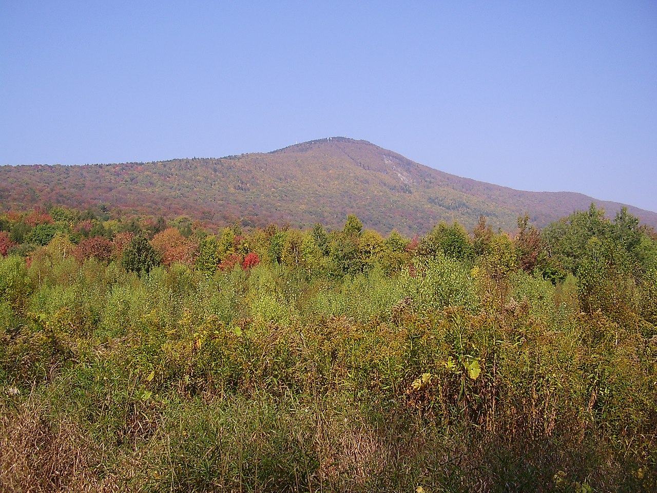 Mount GreylockSummitPhoto: Jstergis, CC BY 3.0 (via Wikimedia Commons)~39 min drive
 Quabbin HillSummitPhoto: Pi.1415926535, CC BY-SA 4.0 (via Wikimedia Commons)~44 min drive
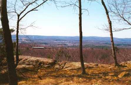 Provin MountainSummitPhoto: 5ju989nfhs50 at English Wikipedia, CC BY 3.0 (via Wikimedia Commons)~46 min drive
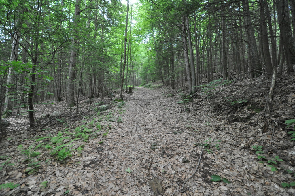 Petticoat HillSummitPhoto: User:Magicpiano, CC BY-SA 4.0 (via Wikimedia Commons)~10 min drive
 Mount HolyokeSummitPhoto: Thomas Cole, Public domain (via Wikimedia Commons)~26 min drive
 Mount NonotuckSummitPhoto: Louis Everts, Public domain (via Wikimedia Commons)~26 min drive
Conditions and forecast
Daily highs and lows, wind and the chance of precipitation at the summit and route start for the next 7 days, from the Open-Meteo model.
Questions about Moore Hill
How tall is Moore Hill?
1,700 ft (518 m).
How many routes go to the summit of Moore Hill?
One: NEMBA Trail.
Ask about this place
Questions about Moore Hill: conditions, access, timing. Answers say when something isn't known.
