Bobcat Trail
- 1.2 mi
- round trip
- 430 ft
- climb
- 1,625 ft
- high point
- Out and back
- route
- May–Oct
- best months
Bobcat Trail is an easy, short hike in north-central Massachusetts, about 1.2 miles from the community of Camp Howe. The route is an out-and-back that starts and ends at roughly 1,625 feet, with a high point of 1,625 feet. The total climb is 430 feet, with the steepest stretch at about 0.68 miles in. The trail is rated easy and takes about an hour to complete. It's a compact option for a walk close to town. Summer is the most comfortable time to go. Typical averages from a nearby weather station at E Hawley put July highs around 75°F with lows near 53°F, while September cools to highs in the upper 60s. Several other trails lie within a few miles. The NEMBA Trail is just 0.3 miles away, and the D.A.R. Trail is 1.5 miles off. Hen Hawk Trail is about 4.7 miles away. The Western MA climbing area is roughly 5 miles out.
- NEMBA TrailHiking0.3 mi
- D.A.R. TrailHiking1.5 mi
- Hen Hawk TrailHiking4.7 mi
- Western MARock climbing5 mi
- East Loop trailHiking5.3 mi
- Hall/O'Neil Conservation Area TrailsHiking6.1 mi
- Mill RiverCanoeing7.8 mi
- Indian HollowCamping9.3 mi
Source: Roamze catalog (indexable pages within 10 miles, PostGIS distance)
 Tower Trail (White Trail)Hiking · ~17 min drivePhoto: Arnab Majumdar, CC BY-SA 3.0 (via Wikimedia Commons)
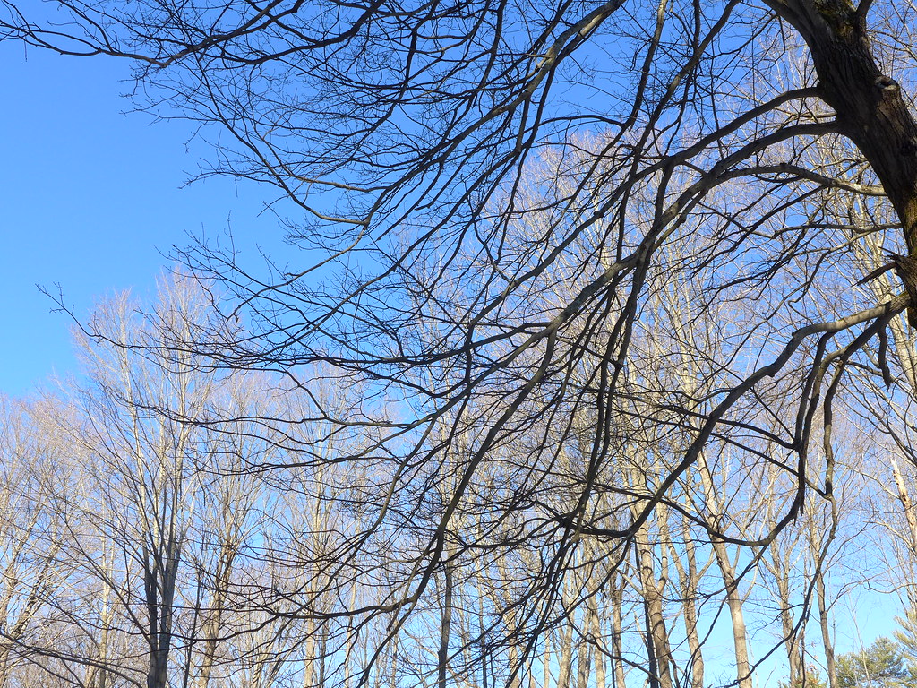 Old Telephone LineHiking · ~17 min drivePhoto: chipmunk_1, CC BY-SA 2.0 (via Flickr)
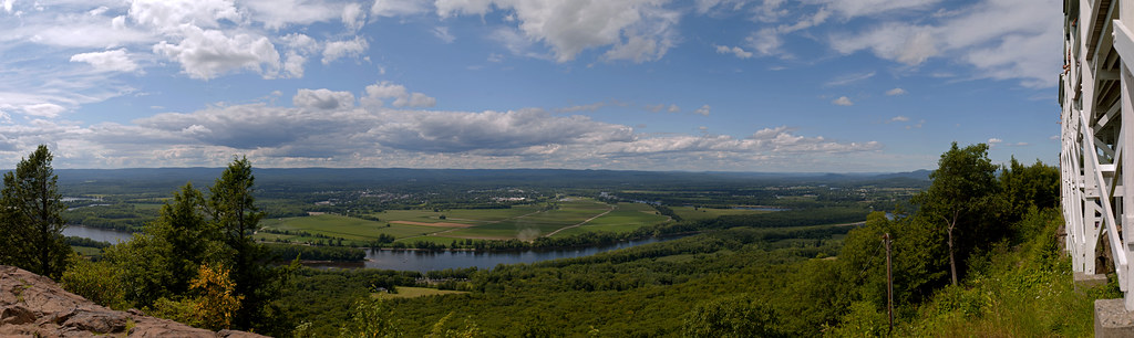 Robert Frost TrailHiking · ~26 min drivePhoto: 6SN7, CC BY 2.0 (via Flickr)
- Old Carriage TrailHiking · ~18 min drive
 Steeplebush TrailHiking · ~19 min drivePhoto: 6SN7, CC BY 2.0 (via Flickr)
- Gobble mountain trailHiking · ~27 min drive
 Sugar Farms TrailHiking · ~22 min drivePhoto: aerugino, CC BY 2.0 (via Flickr)
- M&M Trail (Old Route)Hiking · ~27 min drive
- Hemlock Loop TrailHiking · ~22 min drivePhoto: aerugino, CC BY 2.0 (via Flickr)
- M&M Trail (old route)Hiking · ~30 min drive
Best time to visit Bobcat Trail
Best months: May–October. Best months have typical highs of 55–85 °F, lows of 30 °F or warmer (32 °F where the station doesn't record snow), at most one snowy day and no more than 12 wet days.
Jan
28° / 9°
Feb
31° / 11°
Mar
39° / 19°
Apr
51° / 30°
May
63° / 40°
Jun
70° / 50°
Jul
75° / 53°
Aug
74° / 52°
Sep
67° / 46°
Oct
55° / 35°
Nov
45° / 27°
Dec
34° / 18°
Typical high / low (°F) and days with rain or snow, 1991–2020. Measured at E Hawley, MA, 8.5 mi away at 1,647 ft. This station doesn't record snowfall. Source: NOAA NCEI U.S. Climate Normals 1991–2020.
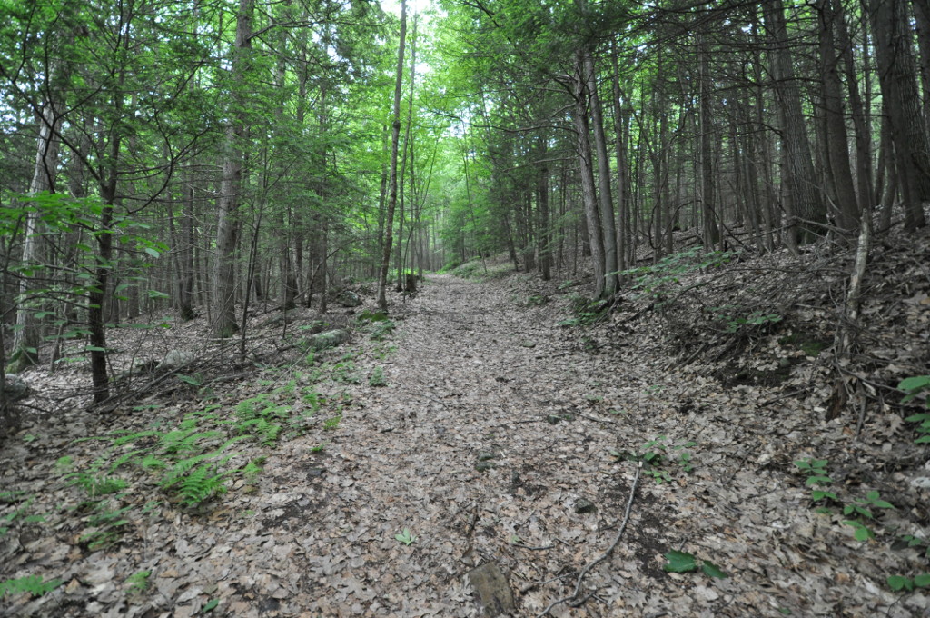
Map and trail data © OpenStreetMap contributors
