Mount Toby
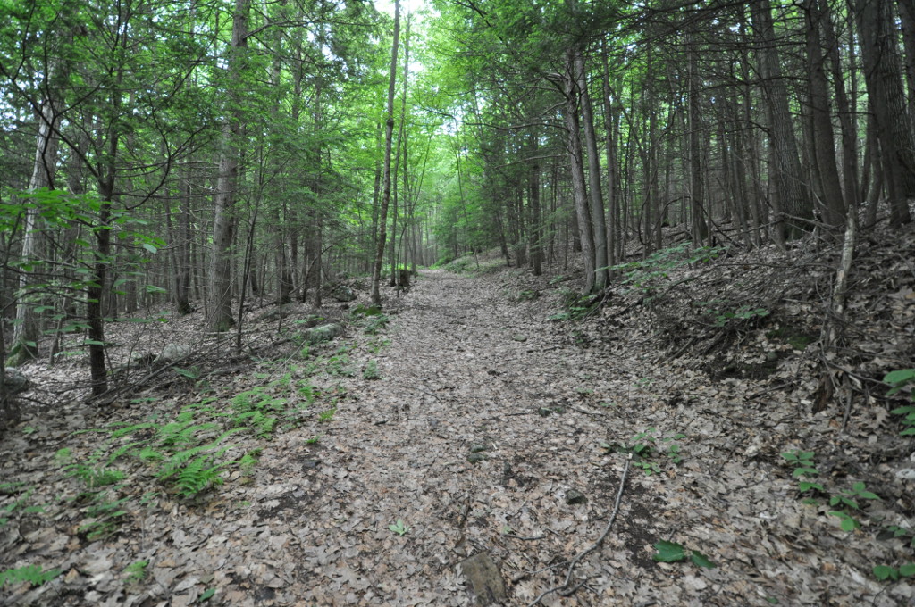
 Photo: Jrclark at English Wikipedia, CC BY 3.0 (via Wikimedia Commons)
- 1,271 ft
- summit
- Apr–Oct
- best months
Mount Toby is a summit in western Massachusetts, rising to 1,271 feet about 2.7 miles from the town of South Deerfield. It sits in a cluster of trails, rivers and climbing areas, so it works well as a base for a day of hiking, paddling or climbing in the surrounding hills. Late spring and early fall are the most comfortable times to visit. Typical averages from a nearby weather station in Leverett show May highs around 70°F and September highs around 74°F, while July peaks near 83°F. That station sits well below the summit, so temperatures on top run cooler. The closest trail is the Sugar Farms Trail, about 0.8 miles away. The Sawmill River and the Sunbowl climbing area are both about 2.4 miles off, and the M&M Trail (Old Route) is about 3.2 miles away.
Conditions and forecast
Daily highs and lows, wind and the chance of precipitation at the summit for the next 7 days, from the Open-Meteo model.
- Summit elevation
- 1,271 ft
Elevation from USGS 3D Elevation Program terrain data (about 10 m resolution).
We don't know of a mapped trail or route to the summit of Mount Toby. Plan the approach with local maps, a guidebook or a local guide, and check conditions before you go.
Questions about Mount Toby
How tall is Mount Toby?
1,271 ft (387 m).
Is there a trail to the top of Mount Toby?
We don't know of a mapped trail or route to the summit. Plan the approach with local maps, a guidebook or a local guide.
- Mount Warner517 ft · Massachusetts1 route7.5 mi away
- Whales Head1,121 ft · Massachusetts1 route7.6 mi away
- Rattlesnake Mountain1,063 ft · Massachusetts1 route8.8 mi away
- Massaemett Mountain1,592 ft · Massachusetts1 route12 mi away
- Moore Hill1,700 ft · Massachusetts1 route13 mi away
- Soapstone Hill888 ft · Massachusetts1 route14 mi away
 Sugar Farms TrailHikingPhoto: aerugino, CC BY 2.0 (via Flickr)0.8 mi
- Sawmill RiverCanoeing2.4 mi
- SunbowlRock climbing2.4 mi
- The Neverland CragRock climbing3.1 mi
- NeverlandRock climbing3.1 mi
- M&M Trail (Old Route)Hiking3.2 mi
- Vernal PoolMountain biking4.1 mi
- Mill RiverCanoeing5.8 mi
Source: Roamze catalog (indexable pages within 10 miles, PostGIS distance)
 Bull HillSummit · ~4 min drivePhoto: John Phelan, CC BY 4.0 (via Wikimedia Commons)
 Mount NorwottockSummit · ~22 min drivePhoto: Paul Gagnon, CC BY 3.0 (via Wikimedia Commons)
- Bare MountainSummit · ~22 min drivePhoto: Paul Gagnon, CC BY 3.0 (via Wikimedia Commons)
 Petticoat HillSummit · ~22 min drivePhoto: User:Magicpiano, CC BY-SA 4.0 (via Wikimedia Commons)
 Long MountainSummit · ~22 min drivePhoto: Original uploader was 5ju989nfhs50 at en.wikipedia, CC BY 3.0 (via Wikimedia Commons)
 Mount HolyokeSummit · ~23 min drivePhoto: Thomas Cole, Public domain (via Wikimedia Commons)
 Mount NonotuckSummit · ~26 min drivePhoto: Louis Everts, Public domain (via Wikimedia Commons)
 Quabbin HillSummit · ~29 min drivePhoto: Pi.1415926535, CC BY-SA 4.0 (via Wikimedia Commons)
 Mount TomSummit · ~31 min drivePhoto: Creator:Thomas Charles Farrer, Public domain (via Wikimedia Commons)
 Stone MountainSummit · ~31 min drivePhoto: KyleAndMelissa22, Public domain (via Wikimedia Commons)
Best time to visit Mount Toby
Best months: April–October. Best months have typical highs of 55–85 °F, lows of 30 °F or warmer (32 °F where the station doesn't record snow), at most one snowy day and no more than 12 wet days.
Jan
30° / 12°
Feb
35° / 12°
Mar
45° / 23°
Apr
58° / 34°
May
70° / 45°
Jun
79° / 55°
Jul
83° / 61°
Aug
82° / 59°
Sep
74° / 50°
Oct
60° / 39°
Nov
48° / 29°
Dec
37° / 20°
Typical high / low (°F) and days with rain or snow, 1991–2020. Measured at Leverett #2, MA, 2.9 mi away at 315 ft. The station sits about 1,000 ft lower than this place, so expect it a little cooler here. This station doesn't record snowfall. Source: NOAA NCEI U.S. Climate Normals 1991–2020.
