Trail Camp
Campground
0.9 mi from the trail
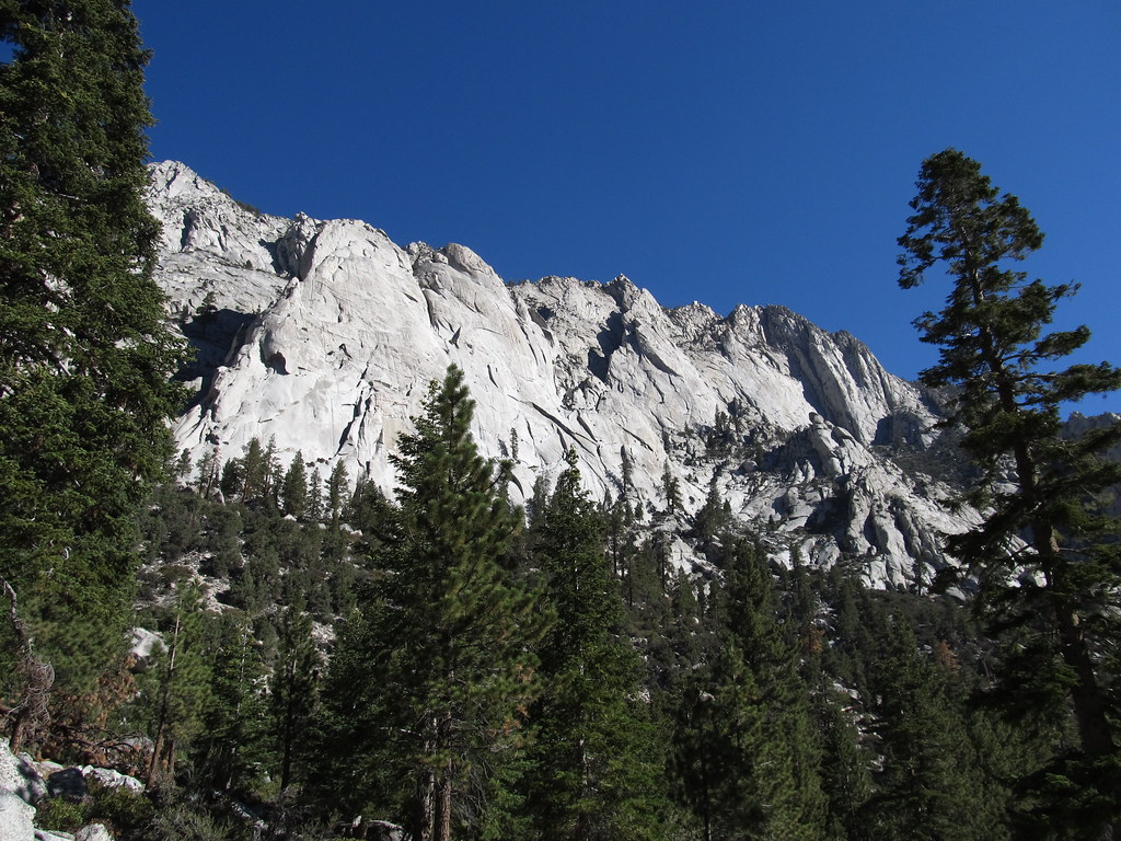
Lewis Peak is a summit of about 14,120 feet in Inyo County, California, inside the John Muir Wilderness. The peak lies within the Mt. Whitney Ranger District of Inyo National Forest, which the Forest Service manages, and the nearest town is Lone Pine, about 12 miles away. Mt. Whitney sits just 0.4 miles away, and the Mount Whitney hike is under a mile off. Whitney Trailhead Walk In Campground is about 3 miles away, and Lone Pine Group Campground is about 3.3 miles away.
Where it is: John Muir Wilderness · Mt. Whitney Ranger District
Near: Lone Pine · 11.6 mi
Been here? Tell people how it was.


 Mt. WhitneyRock climbingPhoto: Moo.The.Cow, CC BY 2.0 (via Flickr)0.4 mi
 Mount WhitneyHikingPhoto: Ken Lund from Reno, Nevada, USA, CC BY-SA 2.0 (via Wikimedia Commons)0.8 mi
 Whitney & Surrounding PeaksRock climbingPhoto: GSEC, CC BY 2.0 (via Flickr)1.1 mi
 Mt. RussellRock climbingPhoto: Don Graham from Redlands, CA, USA - God bless it!, CC BY-SA 2.0 (via Wikimedia Commons)1.2 mi
 North Fork Lone Pine CreekHikingPhoto: Ken Lund — CC BY-SA 2.0 (via Flickr)2.3 mi
 Mount CarillonHikingPhoto: Seth Tisue, CC BY-SA 2.0 (via Flickr)2.9 mi
 Whitney Trailhead Walk In CampgroundCampingPhoto: Ken Lund — CC BY-SA 2.0 (via Flickr)3 miMount WhitneySummitPhoto: Geographer (talk · contribs), CC BY 1.0 (via Wikimedia Commons)Next doorMount RussellSummitPhoto: Will Beback at en.wikipedia, CC BY-SA 3.0 (via Wikimedia Commons)~2 min driveMount McAdieSummitPhoto: glenngould, CC BY 2.0 (via Wikimedia Commons)~3 min drive
 Mount MallorySummitPhoto: Jonathan Fox, CC BY-SA 2.0 (via Wikimedia Commons)~4 min drive
 Mount CorcoranSummitPhoto: Eggbones, CC BY-SA 4.0 (via Wikimedia Commons)~6 min drive
 Lone Pine PeakSummitPhoto: UFGS Region 5, CC BY 2.0 (via Wikimedia Commons)~6 min drive
 Mount LangleySummitPhoto: Timwryan (talk · contribs), CC BY-SA 4.0 (via Wikimedia Commons)~8 min drive
 Trojan PeakSummitPhoto: Paul Fretheim (talk · contribs), CC BY-SA 3.0 (via Wikimedia Commons)~9 min drive
 Mount VersteegSummitPhoto: Tim Berger, CC BY 2.0 (via Wikimedia Commons)~9 min drive
 Mount TyndallSummitPhoto: Self, CC BY 3.0 (via Wikimedia Commons)~11 min drive
Daily highs and lows, wind and the chance of precipitation at the summit and whitney portal national recreation trail upper trailhead for the next 7 days, from the Open-Meteo model.
14,120 ft (4,304 m).
One: Mount Muir.
Mount Muir starts at Whitney Portal National Recreation Trail Upper Trailhead.
Questions about Lewis Peak: conditions, access, timing. Answers say when something isn't known.
Trail Camp
Campground
Whitney Portal Store
Restaurant
Kern Hot Spring
Hot spring
Places © OpenStreetMap contributors
More in Silver City