Trail Camp
Campground
Campground · 1.3 mi from the trail
 Photo: Jonathan Fox, CC BY-SA 2.0 (via Wikimedia Commons)
Alert in the area
The Forest Service lists 3 alerts for Inyo National Forest.
Help Halt Golden Mussel Invasion
Agency alert covering Inyo National Forest · USFS · Inyo National Forest
Ansel Adams and John Muir Wilderness Campfire Restrictions
Agency alert covering Inyo National Forest · Order 05-04-50-25-04 · USFS · Inyo National Forest
Golden Trout and Hoover Wilderness Campfire Restrictions
Agency alert covering Inyo National Forest · Order 05-04-50-25-05 · USFS · Inyo National Forest
As of · Source: USFS · Inyo National Forest. Agencies don't list every closure — check before you go.
Mount Mallory is a summit of about 13,835 feet in Inyo County, California, inside Sequoia National Park and the John Muir Wilderness. The surrounding land is managed by the Forest Service, and the nearest town is Lone Pine, about 10 miles away. The peak sits within a cluster of protected areas, including the Sequoia-Kings Canyon Wilderness, the Mt. Whitney Ranger District of Inyo National Forest and the John Muir Wilderness. The Whitney & Surrounding Peaks climbing area is about 1.4 miles away, and Mount Whitney is about 2.4 miles off. Lone Pine Peak is about 2.2 miles away, and Whitney Trailhead Walk In Campground is about 2.9 miles away.
Trail Camp
Campground
Whitney Portal Store
Restaurant
Kern Hot Spring
Hot spring
Places © OpenStreetMap contributors
More in Silver CityDaily highs and lows, wind and the chance of precipitation at the summit for the next 7 days, from the Open-Meteo model.
Elevation from USGS 3D Elevation Program terrain data (about 10 m resolution).
We don't know of a mapped trail or route to the summit of Mount Mallory. Plan the approach with local maps, a guidebook or a local guide, and check conditions before you go.
13,835 ft (4,217 m).
We don't know of a mapped trail or route to the summit. Plan the approach with local maps, a guidebook or a local guide.


 Whitney & Surrounding PeaksRock climbingPhoto: GSEC, CC BY 2.0 (via Flickr)1.4 mi
 Lone Pine PeakRock climbingPhoto: jfdervin, CC BY-SA 2.0 (via Flickr)2.2 mi
 Mount WhitneyHikingPhoto: Ken Lund from Reno, Nevada, USA, CC BY-SA 2.0 (via Wikimedia Commons)2.4 mi
 North Fork Lone Pine CreekHikingPhoto: Ken Lund — CC BY-SA 2.0 (via Flickr)2.6 mi
 Mt. WhitneyRock climbingPhoto: Moo.The.Cow, CC BY 2.0 (via Flickr)2.6 mi
 Mount CarillonHikingPhoto: Seth Tisue, CC BY-SA 2.0 (via Flickr)2.8 mi
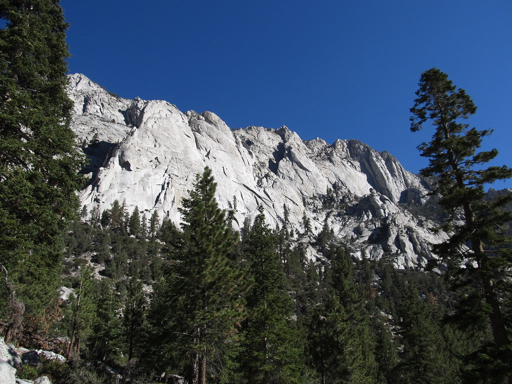 Whitney Trailhead Walk In CampgroundCampingPhoto: Ken Lund — CC BY-SA 2.0 (via Flickr)2.9 mi
Source: Roamze catalog (indexable pages within 10 miles, PostGIS distance)
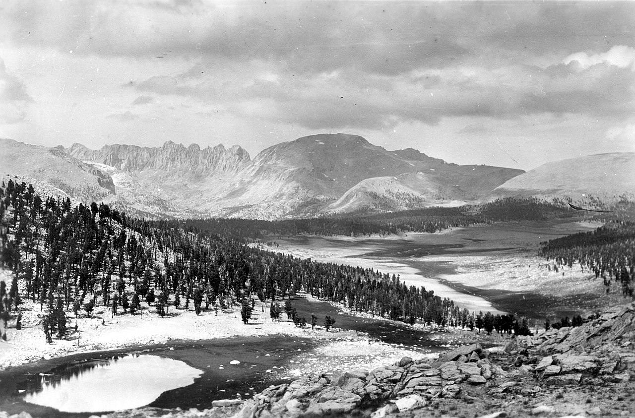 Mount Le ConteSummit · ~1 min drivePhoto: Not stated., Public domain (via Wikimedia Commons)Mount McAdieSummit · ~1 min drivePhoto: glenngould, CC BY 2.0 (via Wikimedia Commons)
 Mount CorcoranSummit · ~2 min drivePhoto: Eggbones, CC BY-SA 4.0 (via Wikimedia Commons)Mount MuirSummit · ~3 min drivePhoto: Poppy, CC BY-SA 3.0 (via Wikimedia Commons)Mount LangleySummit · ~4 min drivePhoto: Timwryan (talk · contribs), CC BY-SA 4.0 (via Wikimedia Commons)
 Lone Pine PeakSummit · ~4 min drivePhoto: UFGS Region 5, CC BY 2.0 (via Wikimedia Commons)
 Mount WhitneySummit · ~5 min drivePhoto: Geographer (talk · contribs), CC BY 1.0 (via Wikimedia Commons)
 Mount RussellSummit · ~6 min drivePhoto: Will Beback at en.wikipedia, CC BY-SA 3.0 (via Wikimedia Commons)
 Trojan PeakSummit · ~12 min drivePhoto: Paul Fretheim (talk · contribs), CC BY-SA 3.0 (via Wikimedia Commons)
 Mount VersteegSummit · ~13 min drivePhoto: Tim Berger, CC BY 2.0 (via Wikimedia Commons)
