Kingston Creek
At a glance
Kingston Creek is a short out-and-back hike in the Austin-Tonopah Ranger District of Nevada's Humboldt-Toiyabe National Forest. The Forest Service manages the land, and the trail is about 0.6 miles long, with a total elevation gain of about 108 feet. For comfortable weather, late spring and early fall work well. Typical averages from the Austin #2 weather station, about 14 miles away, put May highs around 65°F and September highs around 75°F, while July highs average 86°F and winter months see snow on several days. Several other hikes sit close by. Deer Canyon West and Sawmill Canyon are each about 0.7 miles away, and Basin Canyon is about a mile off. For an overnight stay, Kingston Campground is roughly 4.7 miles away.
- round trip
- 0.3 mi
- climb
- 108 ft
- route
- Out and back
- difficulty
- Easy
- best months
- May–Jun, Aug–Oct
Where it is: Austin-Tonopah Ranger District · Humboldt-Toiyabe National Forest
Near: Austin
Best time to visit Kingston Creek
Best months: May–June and August–October. Best months have typical highs of 55–85 °F, lows of 30 °F or warmer (32 °F where the station doesn't record snow), at most one snowy day and no more than 12 wet days.
Jan
42°
26°
6 wet · 5 snow
Feb
44°
26°
5 wet · 4 snow
Mar
50°
31°
6 wet · 4 snow
Apr
56°
34°
6 wet · 3 snow
May
65°
43°
6 wet · 1 snow
Jun
76°
51°
3 wet
Jul
86°
59°
2 wet
Aug
84°
58°
2 wet
Sep
75°
50°
2 wet
Oct
62°
40°
2 wet · 1 snow
Nov
49°
31°
4 wet · 3 snow
Dec
40°
25°
5 wet · 5 snow
Typical high / low (°F) and days with rain or snow, 1991–2020. Measured at Austin #2, NV, 14.4 mi away at 6,780 ft. We don't have this place's elevation, so higher spots nearby can run cooler. Source: NOAA NCEI U.S. Climate Normals 1991–2020.
Been here? Tell people how it was.
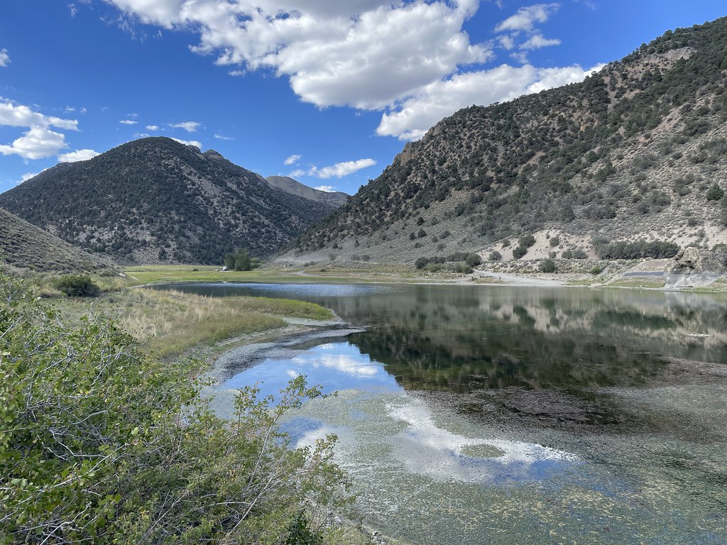 Camp Creek National Recreation - CaliforniaHikingPhoto: Seth Tisue, CC BY-SA 2.0 (via Flickr)~6 min drive
 Toiyabe Crest TrailHikingPhoto: Seth Tisue, CC BY-SA 2.0 (via Flickr)~15 min drive
 Pony Canyon DownhillHikingPhoto: Ken Lund, CC BY-SA 2.0 (via Flickr)~23 min drive
- South Fork Barrett Canyon TrailHiking~44 min drive
 Bob Scott SlideHikingPhoto: Ken Lund, CC BY-SA 2.0 (via Flickr)~23 min drive
 Pony Express LoopHikingPhoto: Matt Lavin, CC BY-SA 2.0 (via Flickr)~24 min drive
- Basin CanyonHiking~2 min drive
- TOIYABE CREST NATL REC TRAILHiking~45 min drive
 Cahill Canyon RunHikingPhoto: Ken Lund, CC BY-SA 2.0 (via Flickr)~24 min drive
- Fremont TrailHiking~20 min drive
Conditions and forecast
Daily highs and lows, wind and the chance of precipitation at Start for the next 7 days, from the Open-Meteo model.
Ask about this place
Questions about Kingston Creek: conditions, access, timing. Answers say when something isn't known.
