Kettle Peak
 Photo: Kurt Minard, CC BY-SA 3.0 (via Wikimedia Commons)
At a glance
Kettle Peak is a summit of about 11,006 feet in Mono County, California, inside the Hoover Wilderness. The peak lies within the Bridgeport Ranger District of the Humboldt-Toiyabe National Forest, which the Forest Service manages, and the nearest town is Twin Lakes, about 5.5 miles away. The Ice Lake Route starts about half a mile away, and the Incredible Hulk climbing area is about 0.7 miles off. Peeler Lake and Mule Pass are both within about 1.5 miles. For an overnight base, Lower Twin Lake Campground sits about 6.6 miles away.
- summit
- 11,006 ft
- managed by
- Forest Service
Where it is: Hoover Wilderness · Bridgeport Ranger District
Near: Bridgeport
Been here? Tell people how it was.
We don't know of a mapped trail or route to the summit of Kettle Peak. Plan the approach with local maps, a guidebook or a local guide, and check conditions before you go.
 Lembert Dome9,446 ft · California1 route17 mi awayPhoto: Inklein, CC BY 3.0 (via Wikimedia Commons)
 Pywiack Dome8,840 ft · California1 route19 mi awayPhoto: Stan Shebs, CC BY-SA 3.0 (via Wikimedia Commons)
 Mount Dana13,054 ft · California1 route19 mi awayPhoto: Jim Bahn, CC BY 2.5 (via Wikimedia Commons)
 Mount Hoffmann10,845 ft · California1 route20 mi awayPhoto: David McCracken, CC BY 2.0 (via Wikimedia Commons)
- Smith Peak7,747 ft · California1 route21 mi away
- Olmstead Point8,433 ft · California1 route22 mi away
 Ice Lake RouteHikingPhoto: Tom Hilton, CC BY 2.0 (via Flickr)0.5 mi
 Incredible HulkRock climbingPhoto: Tom Hilton, CC BY 2.0 (via Flickr)0.7 mi
 Peeler LakeHikingPhoto: ilya_ktsn, CC BY 2.0 (via Flickr)1.4 mi
 Mule PassHikingPhoto: Tom Hilton, CC BY 2.0 (via Flickr)1.5 mi
- The Sawtooth RidgeRock climbing1.6 mi
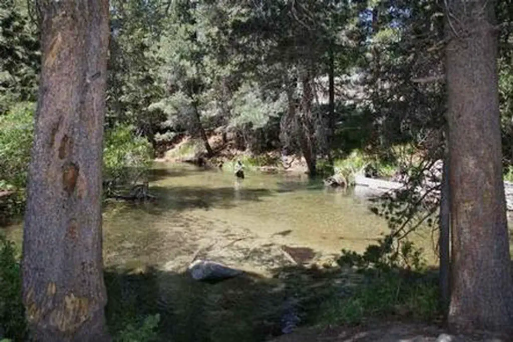 Lower Twin Lakes at BridgeportCampingPhoto: Recreation.gov (RIDB) / public domain6.3 mi
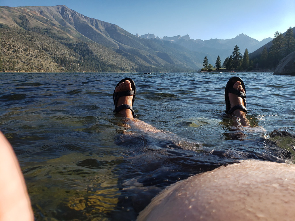 Lower Twin Lake CampgroundCampingPhoto: niiicedave — CC BY-SA 2.0 (via Flickr)6.6 mi
- Buckeye CreekCanoeing8.3 mi
 Victoria PeakSummitPhoto: Tom Hilton, CC BY 2.0 (via Wikimedia Commons)~5 min drive
 Matterhorn PeakSummitPhoto: Jeffrey Pang from Berkeley, CA, USA, CC BY 2.0 (via Wikimedia Commons)~6 min drive
 Robinson PeakSummitPhoto: oliver.dodd, CC BY 2.0 (via Wikimedia Commons)~6 min drive
 Whorl MountainSummitPhoto: oliver.dodd, CC BY 2.0 (via Wikimedia Commons)~7 min drive
 Twin PeaksSummitPhoto: C N, CC BY-SA 2.0 (via Wikimedia Commons)~8 min drive
 Tower PeakSummitPhoto: Tom Hilton, CC BY 2.0 (via Wikimedia Commons)~11 min drive
 Camiaca PeakSummitPhoto: Michael Kwok, CC BY 2.5 (via Wikimedia Commons)~12 min drive
 Page PeaksSummitPhoto: Tom Hilton, CC BY 2.0 (via Wikimedia Commons)~13 min drive
 Dunderberg PeakSummitPhoto: Adorabutton, CC BY-SA 3.0 (via Wikimedia Commons)~16 min drive
 Black MountainSummitPhoto: Don Graham, CC BY-SA 2.0 (via Wikimedia Commons)~17 min drive
Conditions and forecast
Daily highs and lows, wind and the chance of precipitation at the summit for the next 7 days, from the Open-Meteo model.
Questions about Kettle Peak
How tall is Kettle Peak?
11,006 ft (3,355 m).
Is there a trail to the top of Kettle Peak?
We don't know of a mapped trail or route to the summit. Plan the approach with local maps, a guidebook or a local guide.
Ask about this place
Questions about Kettle Peak: conditions, access, timing. Answers say when something isn't known.
