
Mountain · 1 route
Lembert Dome
9,446 ft · California
Photo: Inklein, CC BY 3.0 (via Wikimedia Commons)
- Summit
- 9,446 ft
- Routes
- 1 way up
- Managed by
- National Park Service
Route up Lembert Dome
About Lembert Dome
Lembert Dome is a summit of 9,446 feet in Yosemite National Park, within the Yosemite Wilderness, on land managed by the National Park Service. The nearest town is Virginia Lakes, about 12 miles away. Summer is the most comfortable time to go. Typical July averages from the nearby Tuolumne Meadows weather station run to a high of 71°F and a low of 38°F, and the dome sits higher than that station, so expect slightly cooler temperatures. The Lembert Dome Trail starts about 0.4 miles away, and the Elizabeth Lake Trailhead is under a mile off. Tuolumne Meadows Campground is about a mile away, and the Pacific Crest Trail passes within about a mile and a quarter.
Forecast on Lembert Dome
Daily highs and lows, wind and the chance of precipitation at the summit and route start for the next 7 days, from the Open-Meteo model.
Questions about Lembert Dome
How tall is Lembert Dome?
9,446 ft (2,879 m).
How many routes go to the summit of Lembert Dome?
One: Lembert Dome Trail.
Mountains nearby
 Pywiack Dome8,840 ft · California1 route5.8 mi awayPhoto: Stan Shebs, CC BY-SA 3.0 (via Wikimedia Commons)
 Mount Dana13,054 ft · California1 route7.0 mi awayPhoto: Jim Bahn, CC BY 2.5 (via Wikimedia Commons)
 Vogelsang Peak11,504 ft · California1 route7.2 mi awayPhoto: Paxson Woelber, CC BY-SA 4.0 (via Wikimedia Commons)
- Olmstead Point8,433 ft · California1 route9.0 mi away
 Koip Peak12,981 ft · California1 route9.3 mi awayPhoto: Smokeybear69, CC BY-SA 4.0 (via Wikimedia Commons)
 Mount Hoffmann10,845 ft · California1 route9.3 mi awayPhoto: David McCracken, CC BY 2.0 (via Wikimedia Commons)
Facts about this place
When to go
Best time to go: Jun–Sep. The mildest months here, with typical highs of 65–71°F and lows of 32–38°F.
Typical monthly averages (not a forecast) from the Tuolumne Meadows Rs, CA weather station, 0.4 mi away. High / low in °F.
- Jan41° high13° low
- Feb38° high12° low
- Mar42° high15° low
- Apr45° high22° low
- May54° high27° low
- Jun65° high33° low
- Jul71° high38° low
- Aug70° high36° low
- Sep65° high32° low
- Oct57° high26° low
- Nov47° high20° low
- Dec40° high12° low
Where it is
- Yosemite Wilderness · Wilderness
- Yosemite National Park · National Park Service
- Nearest town
- Virginia Lakes, California · 12 mi
- Managed by
- National Park Service
Conditions
Active alerts for Yosemite National Park as of Oct 9, 2026:
Glacier Point Road is closed due to the Dome Fire until 10/10 at 7 am
Park Closure · posted Oct 9, 2026
Source: NPS Alerts API
Nearby
- East WallRock climbing0.2 mi
 Northwest FaceRock climbingPhoto: ogwen, CC BY-SA 3.0 (via Wikimedia Commons)0.2 mi
 West FaceRock climbingPhoto: ToGa Wanderings, CC BY 2.0 (via Flickr)0.4 mi
 Lembert Dome TrailHikingPhoto: BOB PERRY, CC BY 3.0 (via Wikimedia Commons)0.4 mi
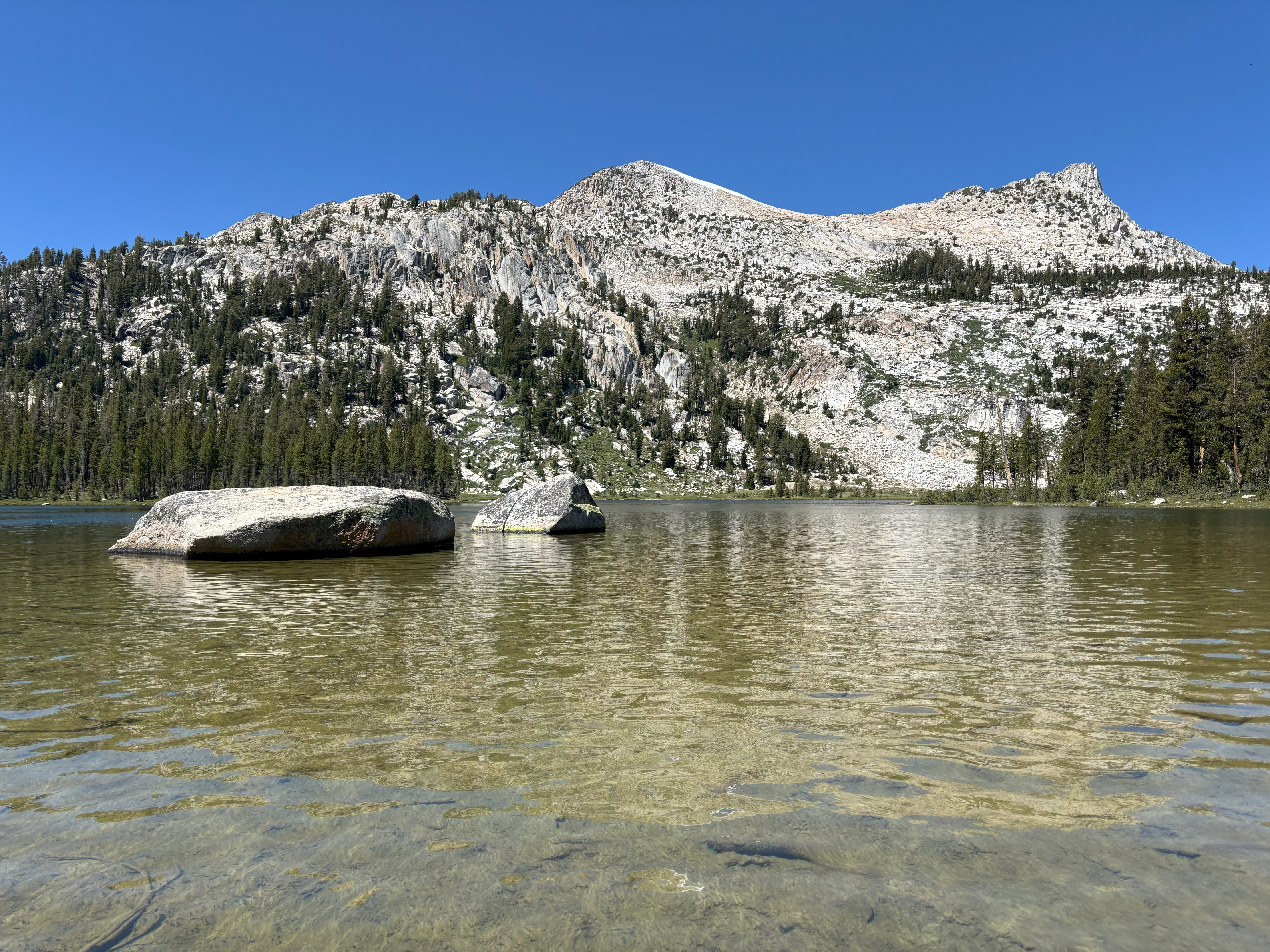 Elizabeth Lake TrailheadHiking0.9 mi
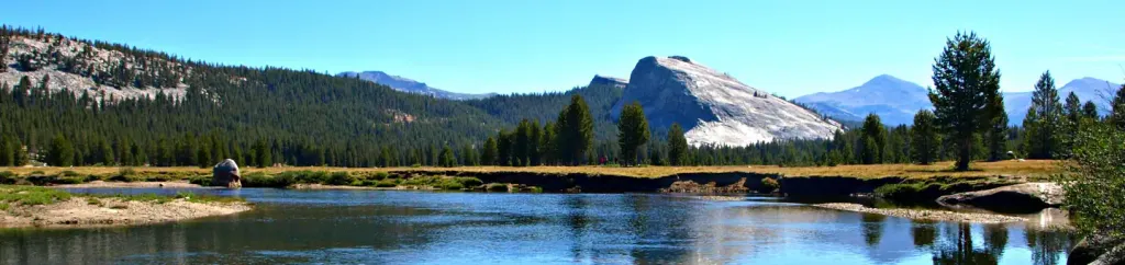 Tuolumne Meadows CampgroundCampingPhoto: Recreation.gov (RIDB) / public domain1 mi
- Pacific Crest TrailHikingPhoto: BOB PERRY, CC BY 3.0 (via Wikimedia Commons)1.2 mi
 Tioga Lake CgCampingPhoto: waterarchives — CC BY-SA 2.0 (via Flickr)5.9 mi
Source: Roamze catalog (indexable pages within 10 miles, PostGIS distance)
Is Lembert Dome open right now?
No closures listed
The National Park Service lists no closures for Yosemite National Park.
As of · Source: NPS · Yosemite National Park. Agencies don't list every closure — check before you go.
Best time to visit Lembert Dome
Best months: June–September. Best months have typical highs of 55–85 °F, lows of 30 °F or warmer (32 °F where the station doesn't record snow), at most one snowy day and no more than 12 wet days.
Jan
41° / 13°
Feb
38° / 12°
Mar
42° / 15°
Apr
45° / 22°
May
54° / 27°
Jun
65° / 33°
Jul
71° / 38°
Aug
70° / 36°
Sep
65° / 32°
Oct
57° / 26°
Nov
47° / 20°
Dec
40° / 12°
Typical high / low (°F) and days with rain or snow, 1991–2020. Measured at Tuolumne Meadows Rs, CA, 0.4 mi away at 8,694 ft. The station sits about 800 ft lower than this place, so expect it a little cooler here. This station doesn't record snowfall. Source: NOAA NCEI U.S. Climate Normals 1991–2020.
