Matterhorn Peak
 Photo: Jeffrey Pang from Berkeley, CA, USA, CC BY 2.0 (via Wikimedia Commons)
- 12,277 ft
- summit
- National Park Service
- managed by
Is Matterhorn Peak open right now?
Closure in the area
There's a closure order in Yosemite National Park. It doesn't name Matterhorn Peak, so check the source for the area it covers (3 listed).
Big Oak Flat Road will close Nov 18 at 8 am
Park closure covering Yosemite National Park · NPS · Yosemite National Park
Campgrounds and Curry Village tent cabins are closed due to a winter storm
Park closure covering Yosemite National Park · NPS · Yosemite National Park
Tioga and Glacier Point Roads are closed due snow
Park closure covering Yosemite National Park · NPS · Yosemite National Park
As of · Source: NPS · Yosemite National Park. Agencies don't list every closure — check before you go.
Matterhorn Peak is a summit of about 12,277 feet in Tuolumne County, California, inside Yosemite National Park and the Yosemite Wilderness. The National Park Service manages the land, and the nearest town is Twin Lakes, about 5 miles away. The surrounding area offers more to explore. The Hoover Wilderness climbing area is about a mile away, and the Horse Creek Route and The Sawtooth Ridge are both within 2 miles. For an overnight base, Green Creek Group campground sits about 6 miles off.
Conditions and forecast
Daily highs and lows, wind and the chance of precipitation at the summit for the next 7 days, from the Open-Meteo model.
- Summit elevation
- 12,277 ft
- Land manager
- National Park Service
Elevation from USGS 3D Elevation Program terrain data (about 10 m resolution).
We don't know of a mapped trail or route to the summit of Matterhorn Peak. Plan the approach with local maps, a guidebook or a local guide, and check conditions before you go.
Questions about Matterhorn Peak
How tall is Matterhorn Peak?
12,277 ft (3,742 m).
Is there a trail to the top of Matterhorn Peak?
We don't know of a mapped trail or route to the summit. Plan the approach with local maps, a guidebook or a local guide.
 Lembert Dome9,446 ft · California1 route15 mi awayPhoto: Inklein, CC BY 3.0 (via Wikimedia Commons)
 Mount Dana13,054 ft · California1 route16 mi awayPhoto: Jim Bahn, CC BY 2.5 (via Wikimedia Commons)
 Pywiack Dome8,840 ft · California1 route17 mi awayPhoto: Stan Shebs, CC BY-SA 3.0 (via Wikimedia Commons)
 Mount Hoffmann10,845 ft · California1 route18 mi awayPhoto: David McCracken, CC BY 2.0 (via Wikimedia Commons)
- Olmstead Point8,433 ft · California1 route20 mi away
 Koip Peak12,981 ft · California1 route22 mi awayPhoto: Smokeybear69, CC BY-SA 4.0 (via Wikimedia Commons)
- Hoover WildernessRock climbing1.2 mi
 Horse Creek RouteHikingPhoto: scorpio-tiger, CC BY-SA 2.0 (via Flickr)1.5 mi
- The Sawtooth RidgeRock climbing1.7 mi
 Ice Lake RouteHikingPhoto: Tom Hilton, CC BY 2.0 (via Flickr)2.9 mi
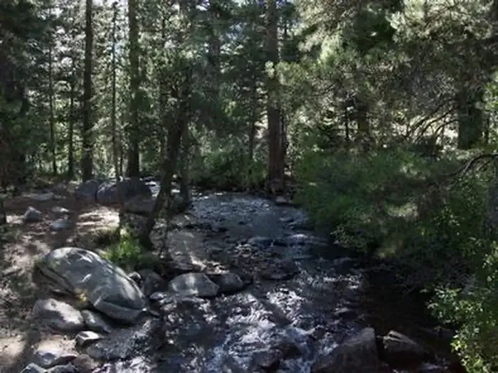 Green Creek GroupCampingPhoto: Recreation.gov (RIDB) / public domain5.9 mi
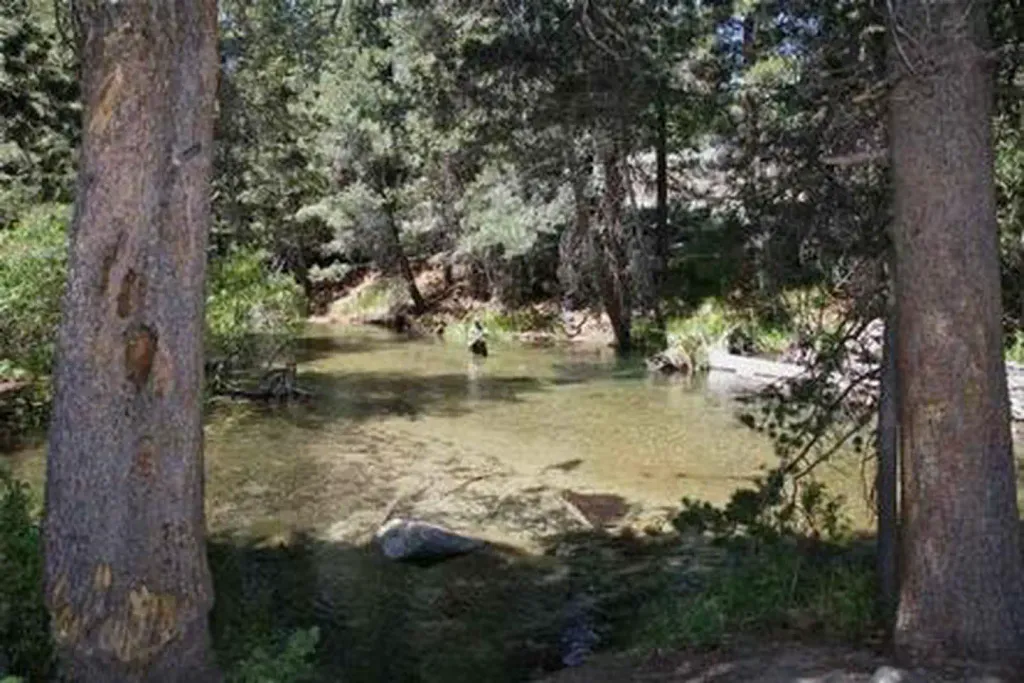 Lower Twin Lakes at BridgeportCampingPhoto: Recreation.gov (RIDB) / public domain6.2 mi
- Robinson CreekCanoeing8.2 mi
- Buckeye CreekCanoeing9.5 mi
Source: Roamze catalog (indexable pages within 10 miles, PostGIS distance)
 Whorl MountainSummit · ~2 min drivePhoto: oliver.dodd, CC BY 2.0 (via Wikimedia Commons)
 Twin PeaksSummit · ~3 min drivePhoto: C N, CC BY-SA 2.0 (via Wikimedia Commons)
 Kettle PeakSummit · ~6 min drivePhoto: Kurt Minard, CC BY-SA 3.0 (via Wikimedia Commons)
 Camiaca PeakSummit · ~7 min drivePhoto: Michael Kwok, CC BY 2.5 (via Wikimedia Commons)
 Page PeaksSummit · ~7 min drivePhoto: Tom Hilton, CC BY 2.0 (via Wikimedia Commons)
 Crown PointSummit · ~7 min drivePhoto: Jonathan Fox, CC BY-SA 2.0 (via Wikimedia Commons)
 Robinson PeakSummit · ~9 min drivePhoto: oliver.dodd, CC BY 2.0 (via Wikimedia Commons)
 Dunderberg PeakSummit · ~11 min drivePhoto: Adorabutton, CC BY-SA 3.0 (via Wikimedia Commons)
 Black MountainSummit · ~12 min drivePhoto: Don Graham, CC BY-SA 2.0 (via Wikimedia Commons)
 North PeakSummit · ~15 min drivePhoto: Adorabutton, CC BY-SA 3.0 (via Wikimedia Commons)

