Mule Pass
 Photo: Tom Hilton, CC BY 2.0 (via Flickr)
- 2.2 mi
- round trip
- 803 ft
- climb
- 10,477 ft
- high point
- Out and back
- route
Is Mule Pass open right now?
Closure in the area
There's a closure order in Humboldt-Toiyabe National Forest. It doesn't name Mule Pass, so check the source for the area it covers.
Elephant Fire Closure
Agency closure covering Humboldt-Toiyabe National Forest · Order 04-17-26-01-04 · USFS · Humboldt-Toiyabe National Forest
Area, Road, and Trail Closures (Spring Mountains National Recreation Area)
Agency alert covering Humboldt-Toiyabe National Forest · Order 04-17-25-04 · USFS · Humboldt-Toiyabe National Forest
Year-Round Fire Restrictions (Spring Mountains National Recreation Area)
Agency alert covering Humboldt-Toiyabe National Forest · Order 04-17-24-01 · USFS · Humboldt-Toiyabe National Forest
Vehicle Snow Chain Requirements during Inclement Weather (Spring Mountains National Recreation Area)
Agency alert covering Humboldt-Toiyabe National Forest · Order 04-17-23-01 · USFS · Humboldt-Toiyabe National Forest
Rainbow Canyon Flood Diversion Structure Closure (Spring Mountains National Recreation Area)
Agency alert covering Humboldt-Toiyabe National Forest · Order 04-17-15-01 · USFS · Humboldt-Toiyabe National Forest
As of · Source: USFS · Humboldt-Toiyabe National Forest. Agencies don't list every closure — check before you go.
Mule Pass is an easy out-and-back hike in California's Hoover Wilderness, part of the Bridgeport Ranger District of the Humboldt-Toiyabe National Forest. The trail is about 2.2 miles long, with an elevation gain of 803 feet, taking you from a low point of about 9,664 feet to a high of about 10,477 feet. The route is on natural surface, and horses are allowed. Bikes are not. The Forest Service manages the land, and the trail is open year-round. The Juggernaut, a climbing area, sits about half a mile away. Peeler Lake and the Peeler Lake Trail are both within about 2 miles. For an overnight stay, Lower Twin Lake Campground is roughly 8 miles off.
Local outfitters
- Mammoth Lakes Pack Outfit42 mi away
Not on Roamze yet. Their page has how to reach them.
 The JuggernautRock climbingPhoto: Kurt Minard, CC BY-SA 3.0 (via Wikimedia Commons)0.5 mi
 Peeler LakeHikingPhoto: ilya_ktsn, CC BY 2.0 (via Flickr)1.2 mi
- Peeler Lake TrailHiking1.9 mi
- Buckeye PassHiking1.9 mi
 Incredible HulkRock climbingPhoto: Tom Hilton, CC BY 2.0 (via Flickr)2.1 mi
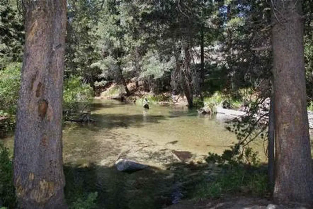 Lower Twin Lakes at BridgeportCampingPhoto: Recreation.gov (RIDB) / public domain7.9 mi
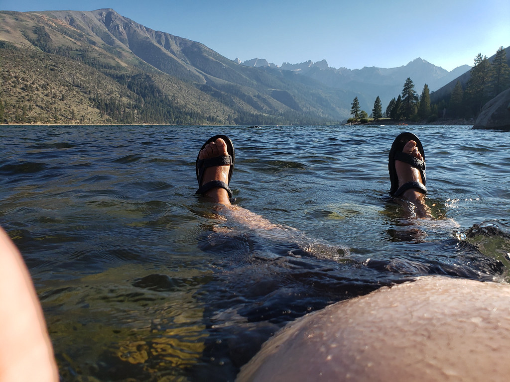 Lower Twin Lake CampgroundCampingPhoto: niiicedave — CC BY-SA 2.0 (via Flickr)8.1 mi
- Buckeye CreekCanoeing9.8 mi
Source: Roamze catalog (indexable pages within 10 miles, PostGIS distance)
 Ice Lake RouteHiking · ~3 min drivePhoto: Tom Hilton, CC BY 2.0 (via Flickr)
 Buckeye Canyon TrailHiking · ~4 min drivePhoto: ilya_ktsn, CC BY 2.0 (via Flickr)
 Horse Creek RouteHiking · ~7 min drivePhoto: scorpio-tiger, CC BY-SA 2.0 (via Flickr)
 Horse & Cattle Creek TrailHiking · ~8 min drivePhoto: scorpio-tiger, CC BY-SA 2.0 (via Flickr)
 Robinson Creek TrailHiking · ~7 min drivePhoto: GSEC, CC BY 2.0 (via Flickr)
 Horse Creek RouteHiking · ~7 min drivePhoto: scorpio-tiger, CC BY-SA 2.0 (via Flickr)
 HORSE-CATTLE CREEKHiking · ~11 min drivePhoto: Tom Hilton, CC BY 2.0 (via Flickr)
- Molybdenite Creek TrailHiking · ~13 min drive
 Tamarack TrailHiking · ~13 min drivePhoto: GSEC, CC BY 2.0 (via Flickr)
 TamarackHiking · ~14 min drivePhoto: donjd2, CC BY 2.0 (via Flickr)

