
Cougar Cg
Campground
4.5 mi from the trail
 Photo: Fredlyfish4, CC BY-SA 3.0 (via Wikimedia Commons)
Kent Peak is a summit of about 11,667 feet in Blaine County, Idaho, inside the Hemingway-Boulders Wilderness. The peak lies within the Lost River Ranger District of Sawtooth National Forest, which the Forest Service manages, and the nearest town is Ketchum, about 14 miles away. The peak sits in designated wilderness, so plan around the rules that apply there. Several other destinations are close by. Upper North Fork is about 2 miles away, and North Fork Lake is about 3 miles away. Caribou Campground is about 5 miles off, and the Sawtooth National Recreation Area is about 7 miles away.
Where it is: Hemingway-Boulders Wilderness · Lost River Ranger District
Near: Ketchum · 14.2 mi
Been here? Tell people how it was.
We don't know of a mapped trail or route to the summit of Kent Peak. Plan the approach with local maps, a guidebook or a local guide, and check conditions before you go.
 Silver PeakSummitPhoto: Frank Kovalchek, CC BY 3.0 (via Wikimedia Commons)~13 min drive
 Sheep MountainSummitPhoto: Fredlyfish4, CC BY-SA 4.0 (via Wikimedia Commons)~21 min drive
 Merriam PeakSummitPhoto: Fredlyfish4, CC BY-SA 4.0 (via Wikimedia Commons)~25 min drive
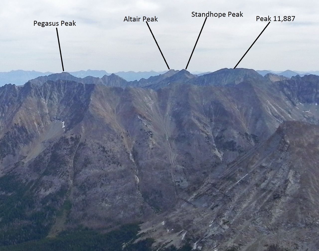 Standhope PeakSummitPhoto: Fredlyfish4, CC BY-SA 3.0 (via Wikimedia Commons)~35 min drive
 McDonald PeakSummitPhoto: Fredlyfish4, CC BY-SA 3.0 (via Wikimedia Commons)~44 min drive
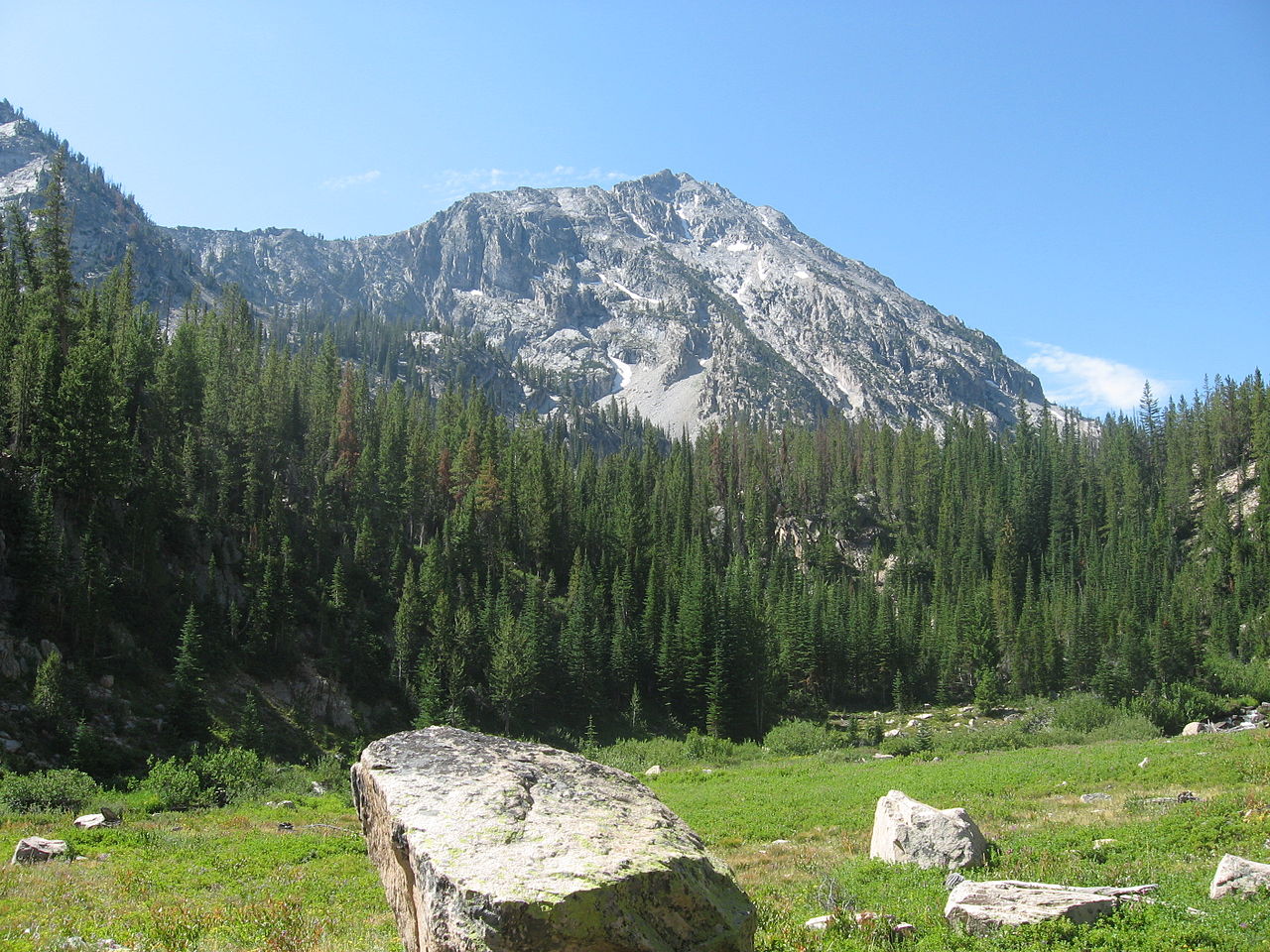 Parks PeakSummitPhoto: Fredlyfish4, CC BY-SA 3.0 (via Wikimedia Commons)~46 min drive
 Payette PeakSummitPhoto: Fredlyfish4, CC BY-SA 3.0 (via Wikimedia Commons)~52 min drive
 Smiley MountainSummitPhoto: Ben Christenson, CC BY 2.0 (via Wikimedia Commons)~55 min drive
 Borah PeakSummitPhoto: Leaflet, Public domain (via Wikimedia Commons)~1h drive
 Alpine PeakSummitPhoto: Fredlyfish4, CC BY-SA 3.0 (via Wikimedia Commons)~1h 5m drive
Daily highs and lows, wind and the chance of precipitation at the summit for the next 7 days, from the Open-Meteo model.
11,667 ft (3,556 m).
We don't know of a mapped trail or route to the summit. Plan the approach with local maps, a guidebook or a local guide.
Questions about Kent Peak: conditions, access, timing. Answers say when something isn't known.
Cougar Cg
Campground
Sun Valley Museum of Art
Museum
Places © OpenStreetMap contributors, Places © Overture Maps Foundation
More in Ketchum