Honey Bee
At a glance
Honey Bee is a hard hike in California's South Sierra Wilderness, within the Mt. Whitney Ranger District of Inyo National Forest. The route is an out-and-back of about 12 miles, with a one-way elevation gain of 1,953 feet. The Forest Service manages the land. Spring and fall are the most comfortable times to go. Typical averages from a nearby weather station at Haiwee show May highs around 78°F and October highs around 74°F, while July and August average in the low 90s. The Wildrose Trail and Haiwee Pass Trail both lie within about a mile. Kennedy Meadows Campground is roughly 7 miles away, and the South Fork Kern River is about 9 miles off.
- round trip
- 6.2 mi
- climb
- 1,953 ft
- route
- Out and back
- difficulty
- Hard
- best months
- Mar–May, Oct–Nov
Where it is: South Sierra Wilderness · Mt. Whitney Ranger District
Near: Lone Pine
Best time to visit Honey Bee
Best months: March–May and October–November. Best months have typical highs of 55–85 °F, lows of 30 °F or warmer (32 °F where the station doesn't record snow), at most one snowy day and no more than 12 wet days.
Jan
51°
27°
4 wet
Feb
55°
29°
4 wet
Mar
62°
34°
3 wet
Apr
69°
39°
2 wet
May
78°
47°
2 wet
Jun
89°
56°
1 wet
Jul
94°
62°
1 wet
Aug
93°
61°
1 wet
Sep
86°
54°
1 wet
Oct
74°
43°
1 wet
Nov
60°
33°
2 wet
Dec
50°
26°
4 wet
Typical high / low (°F) and days with rain or snow, 1991–2020. Measured at Haiwee, CA, 7.4 mi away at 3,825 ft. We don't have this place's elevation, so higher spots nearby can run cooler. This station doesn't record snowfall. Source: NOAA NCEI U.S. Climate Normals 1991–2020.
Been here? Tell people how it was.
- Wildrose TrailHiking1 mi
- Haiwee Pass TrailHiking1.1 mi
- Haiwee PassHiking1.1 mi
- HaiweeHiking3.1 mi
- Kennedy Meadows CampgroundCamping6.9 mi
 South Fork Kern RiverCanoeingPhoto: California Department of Fish and Game, CC BY-SA 3.0 (via Wikimedia Commons)9.2 mi
- Fish CreekCamping9.2 mi
- Fish Creek RockRock climbing9.6 mi
 Albanita TrailHikingPhoto: Moo.The.Cow, CC BY 2.0 (via Flickr)~12 min drive
 Blackrock Mountain TrailHikingPhoto: Moo.The.Cow, CC BY 2.0 (via Flickr)~14 min drive
- Jackass Peak TrailHikingPhoto: Moo.The.Cow, CC BY 2.0 (via Flickr)~12 min drive
- Haiwee PassHiking~2 min drive
 HookerHikingPhoto: RuggyBearLA, CC BY 2.0 (via Flickr)~15 min drive
- Haiwee Pass TrailHiking~2 min drive
- Deer MountainHiking~6 min drive
- Deer Mountain TrailHiking~9 min drive
 Soda CreekHikingPhoto: Paul Mono, CC BY-SA 3.0 (via Wikimedia Commons)~16 min drive
- Pacific Crest TrailHiking~6 min drive
Also worth it near here
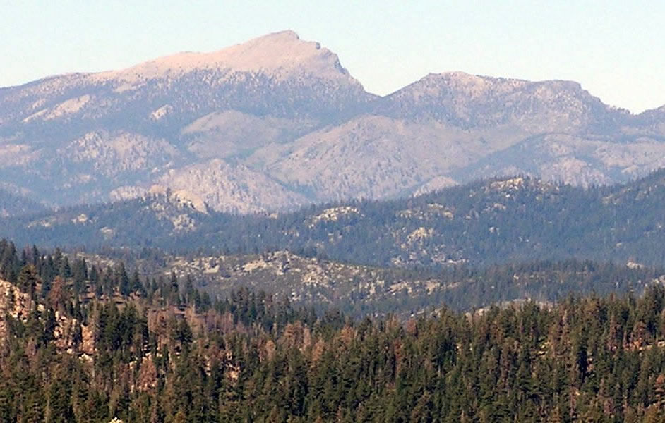 Olancha PeakSummitPhoto: Justin, CC BY 2.0 (via Wikimedia Commons)~14 min drive
- Olancha ResortCamping~15 min drive
- South Fork Kern RiverCanoeingPhoto: California Department of Fish and Game, CC BY-SA 3.0 (via Wikimedia Commons)~16 min drive
 River Springs Cutoff #1Mountain bikingPhoto: David Bakken, CC BY-SA 2.0 (via Wikimedia Commons)~19 min drive
Conditions and forecast
Daily highs and lows, wind and the chance of precipitation at Start for the next 7 days, from the Open-Meteo model.
Ask about this place
Questions about Honey Bee: conditions, access, timing. Answers say when something isn't known.
Local outfitters
- Big Willi Mountaineering Company32 mi away
Not on Roamze yet. Their page has how to reach them.
