Highway 62 Crags
At a glance
Highway 62 Crags is a climbing area on Bureau of Land Management land within the Barstow Field Office in California. It sits among a cluster of other climbing spots and trails, and the Contact Mine Road Area, also known as Brittny's Area, lies about 4 miles away. Spring and fall are the most comfortable times to visit. Typical averages from the nearby Twentynine Palms weather station show March highs around 74°F and November highs around 72°F, while July and August average in the mid-100s. That station sits roughly 800 feet lower than the crags, so temperatures at the crags run cooler. The area has four trad routes, all rated between 5.7 and 5.9. They are Hot-N-Ready, Early Retirement, Guam and Marv the Mangler.
4 routes · 5.7 – 5.9 · Trad
- best months
- Late Oct–mid-Apr
Where it is: Barstow Field Office
Near: Twentynine Palms
Best weeks to go
Late October to mid-April is usually best for climbing here.
Typical highs of 61–80°F and lows of 39°F or warmer in those weeks.
Typical weather: NOAA 1991–2020 normals at Twentynine Palms, CA, 4 mi away. Not a forecast.
Typical weather by monthBest time to visit Highway 62 Crags
Best months: November–April. Best months are the ones mostly made of the best weeks for climbing: typical temperatures in its comfortable range, few snowy days and not usually wet, judged with the same limits as our good-day forecasts.
Jan
63°
42°
3 wet
Feb
67°
44°
3 wet
Mar
74°
49°
2 wet
Apr
81°
55°
1 wet
May
90°
63°
1 wet
Jun
99°
71°
0 wet
Jul
104°
77°
2 wet
Aug
103°
76°
2 wet
Sep
96°
69°
2 wet
Oct
85°
58°
1 wet
Nov
72°
47°
1 wet
Dec
62°
40°
2 wet
Typical high / low (°F) and days with rain or snow, 1991–2020. Measured at Twentynine Palms, CA, 4.2 mi away at 1,975 ft. The station sits about 800 ft lower than this place, so expect it a little cooler here. This station doesn't record snowfall. Source: NOAA NCEI U.S. Climate Normals 1991–2020.
Been here? Tell people how it was.
- California Riding and Hiking TrailHiking3.5 mi
- Contact Mine TrailHiking3.6 mi
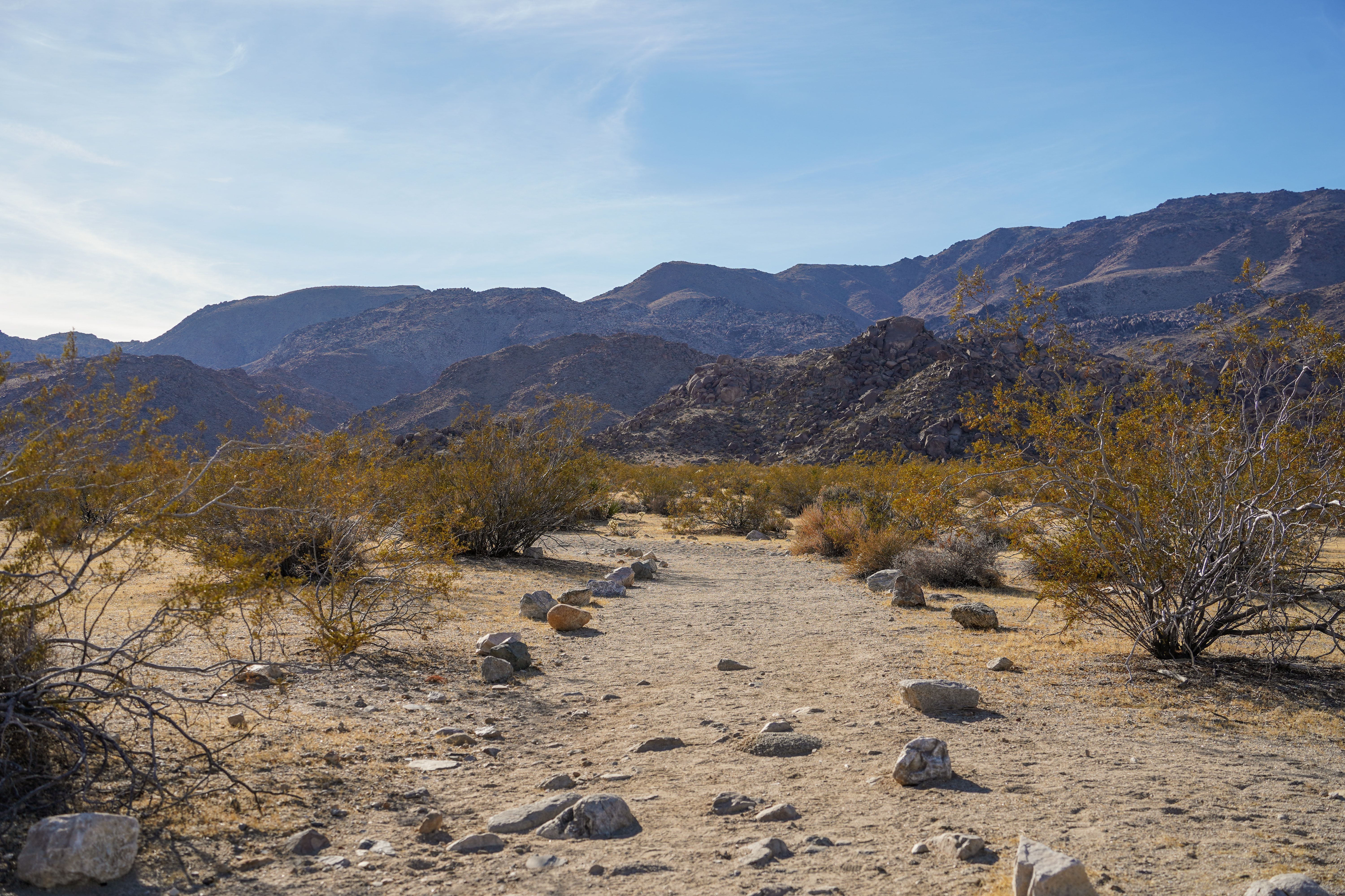 Desert Tortoise (Contact Mine)HikingPhoto: NPS/Samantha Laarman3.6 mi
- Contact Mine Road Area (aka Brittny's Area)Rock climbing4 mi
- Magic Mountain AreaRock climbing4.1 mi
- The TuskRock climbing4.2 mi
- Goldfinger RockRock climbing4.3 mi
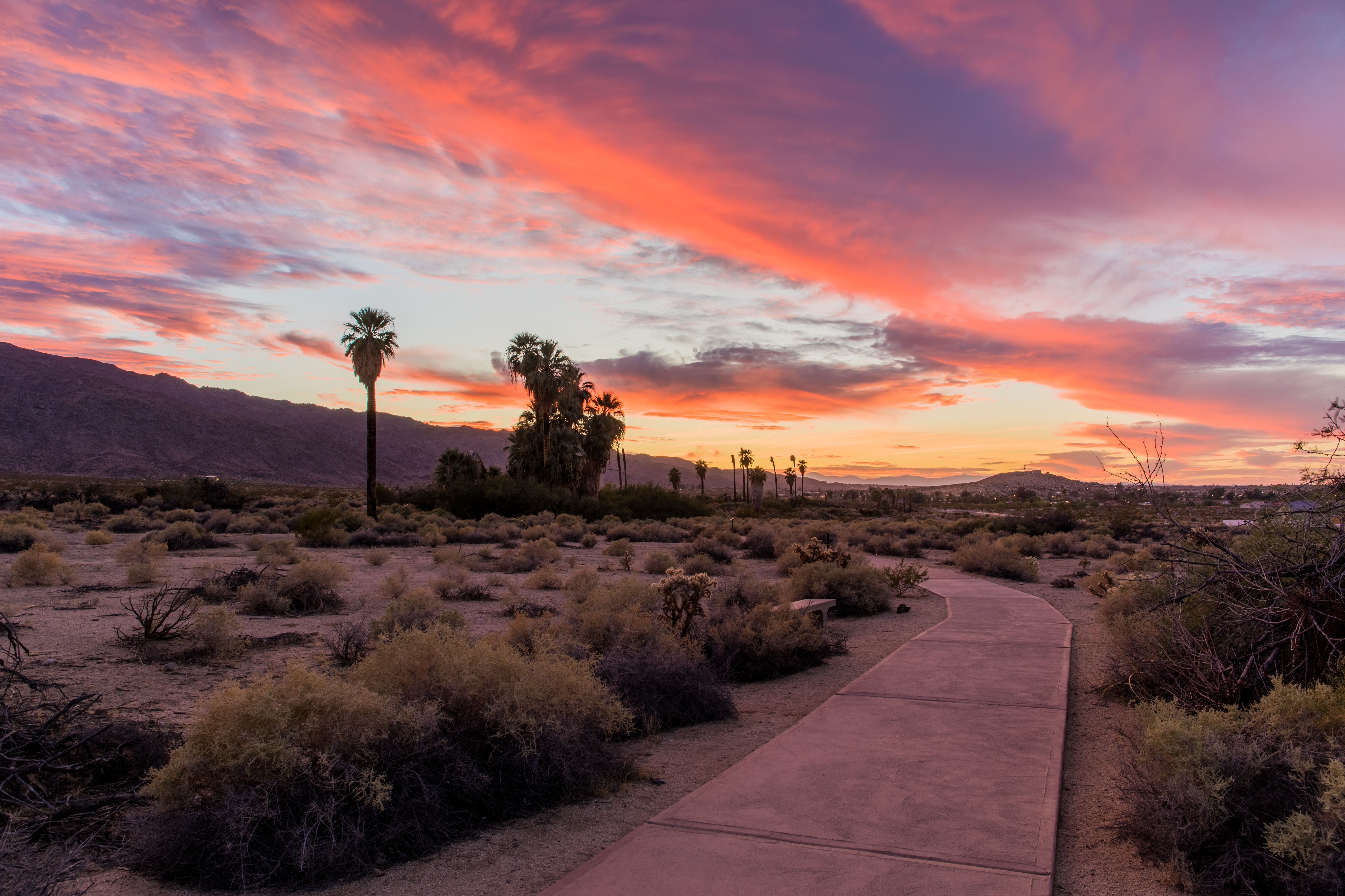 Oasis of Mara TrailheadHikingPhoto: NPS / Glauco Puig-Santana4.3 mi
 The Hawk HatcheryRock climbingPhoto: Joseph from Cabin On The Road, USA, CC BY-SA 2.0 (via Wikimedia Commons)~10 min drive
 LovelandRock climbingPhoto: daveynin, CC BY 2.0 (via Flickr)~12 min drive
- The Bond BouldersRock climbingPhoto: daveynin, CC BY 2.0 (via Flickr)~12 min drive
- Bad Cop RockRock climbingPhoto: daveynin, CC BY 2.0 (via Flickr)~12 min drive
 Fraggle RockRock climbingPhoto: cappellacci, CC BY 2.0 (via Flickr)~12 min drive
 SE BouldersRock climbingPhoto: daveynin, CC BY 2.0 (via Flickr)~12 min drive
 Future Games RockRock climbingPhoto: daveynin, CC BY 2.0 (via Flickr)~12 min drive
- Split Rocks EastRock climbingPhoto: daveynin, CC BY 2.0 (via Flickr)~13 min drive
- Desert Queen DomeRock climbingPhoto: cappellacci, CC BY 2.0 (via Flickr)~13 min drive
- Contact Mine Road Area (aka Brittny's Area)Rock climbing~7 min drive
Conditions and forecast
Daily highs and lows, wind and the chance of precipitation at Highway 62 Crags for the next 7 days, from the Open-Meteo model.

Ask about this place
Questions about Highway 62 Crags: conditions, access, timing. Answers say when something isn't known.
