Contact Mine Trail
- 1.9 mi
- round trip
- 1,206 ft
- climb
- 3,631 ft
- high point
- Out and back
- route
- Oct–May
- best months
Clear today
Weather is good · OpenWeather · checked 6 h ago
Is Contact Mine Trail open right now?
Alert in the area
The National Park Service lists 2 alerts for Joshua Tree National Park.
Inaccurate Third-Party Apps
Park alert covering Joshua Tree National Park · NPS · Joshua Tree National Park
Oasis of Mara Trail Partial Closure
Park alert covering Joshua Tree National Park · NPS · Joshua Tree National Park
As of · Source: NPS · Joshua Tree National Park. Agencies don't list every closure — check before you go.
Contact Mine Trail is a moderate out-and-back hike of about 3.8 miles in Joshua Tree National Park, managed by the National Park Service in California. The route starts at an elevation of about 2,920 feet and climbs to a high point of roughly 3,631 feet, with a total gain of 1,206 feet over the course of the round trip. Spring and fall are the most comfortable times to go. Typical averages from a nearby weather station in Yucca Valley show April highs around 73°F and October highs around 80°F, while July and August average about 96°F. The station sits a few hundred feet lower than the trail's high point, so temperatures up top run a little cooler. The hike takes about two hours to complete. The Desert Tortoise (Contact Mine) and California Riding and Hiking Trail both start within a tenth of a mile. Climbers can find the Contact Mine Road Area (aka Brittny's Area) about 0.3 miles away and the Magic Mountain Area about half a mile off.
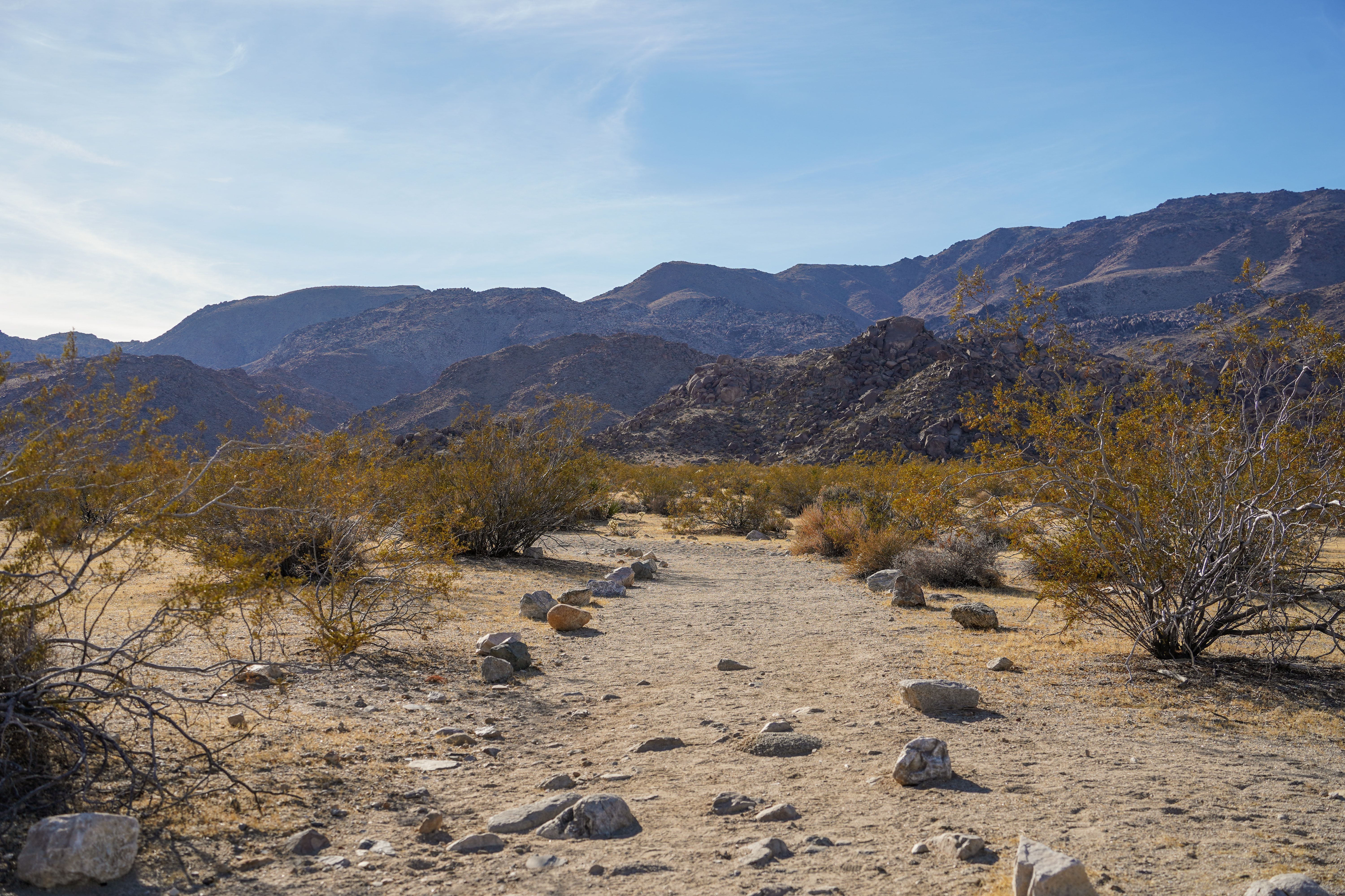 Desert Tortoise (Contact Mine)HikingPhoto: NPS/Samantha Laarman0.1 mi
- California Riding and Hiking TrailHiking0.1 mi
- Contact Mine Road Area (aka Brittny's Area)Rock climbing0.3 mi
- Magic Mountain AreaRock climbing0.5 mi
- The TuskRock climbing0.5 mi
- Futthead RockRock climbing0.7 mi
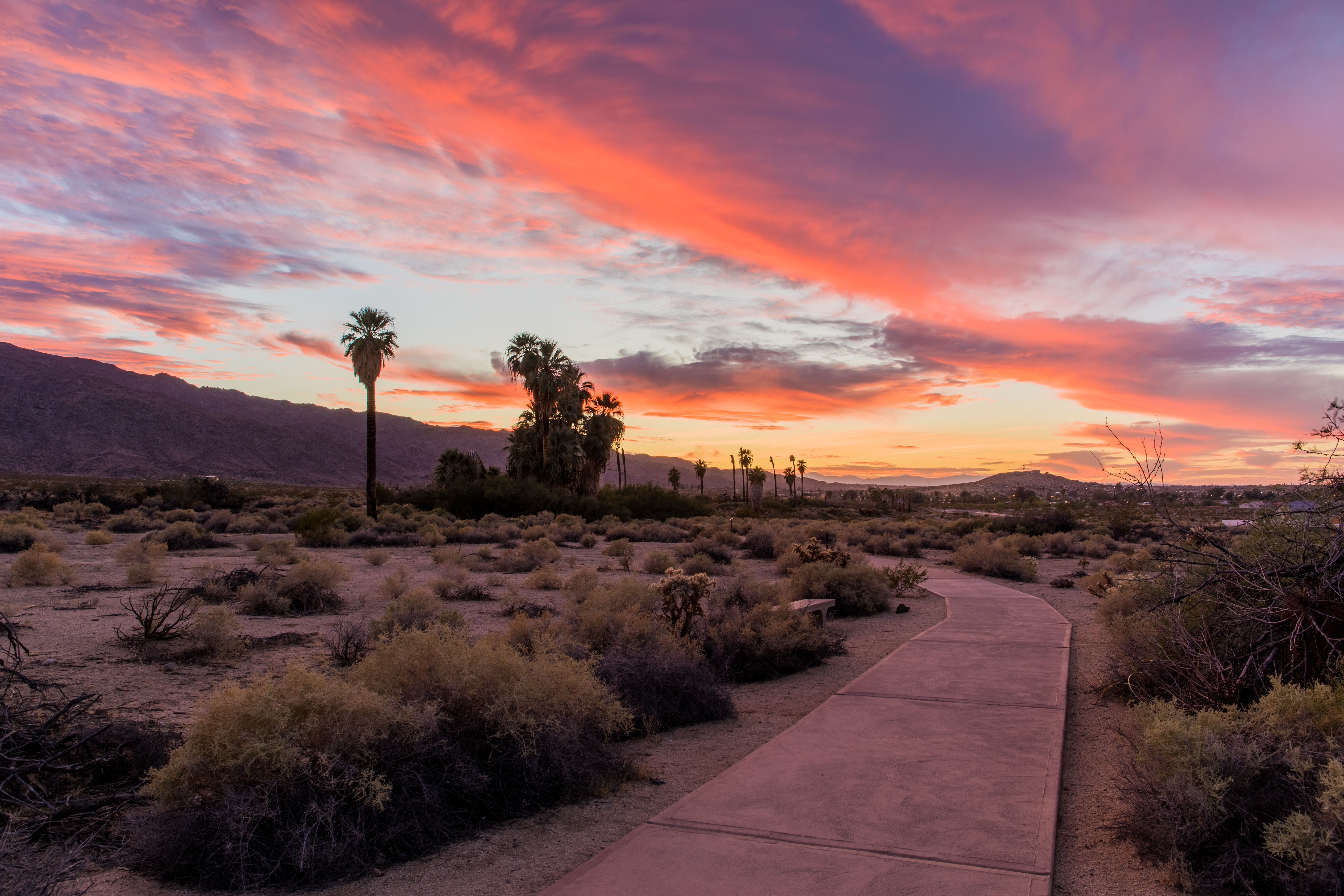 Oasis of Mara TrailheadHikingPhoto: NPS / Glauco Puig-Santana3.9 mi
 Sheep Pass GroupCampingPhoto: Recreation.gov (RIDB) / public domain7 mi
Source: Roamze catalog (indexable pages within 10 miles, PostGIS distance)
- Oasis of Mara TrailheadHiking · ~7 min drive
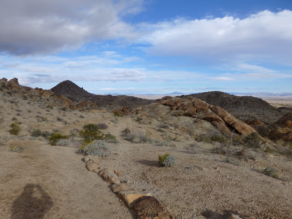 Fortynine Palms TrailHiking · ~10 min drivePhoto: neighborhoods.org, CC BY-SA 2.0 (via Flickr)
- California Riding and Hiking Trail at Geology Tour RoadHiking · ~11 min drive
- Keys West Wilderness Backpacking BoardHiking · ~16 min drive
- Pine City TrailheadHiking · ~7 min drive
- Ryan Mountain TrailheadHiking · ~13 min drive
- Boy Scout TrailheadHiking · ~16 min drive
 Desert Queen Mine TrailHiking · ~7 min drivePhoto: aparlette, CC BY 2.0 (via Flickr)
- California Riding and Hiking TrailHiking · Next door
 Split Rock TrailHiking · ~8 min drivePhoto: cappellacci, CC BY 2.0 (via Flickr)
Also worth it near here
 The Hawk HatcheryRock climbing · ~5 min drivePhoto: Joseph from Cabin On The Road, USA, CC BY-SA 2.0 (via Wikimedia Commons)
 Belle CampgroundCamping · ~8 min drivePhoto: Joshua Tree National Park, Public domain (via Wikimedia Commons)
- Jumbo RocksSummit · ~10 min drive
- Arch RockNatural arch · ~10 min drive
Best time to visit Contact Mine Trail
Best months: October–May. Best months have typical highs of 55–85 °F, lows of 30 °F or warmer (32 °F where the station doesn't record snow), at most one snowy day and no more than 12 wet days.
Jan
58° / 38°
4 wet
Feb
61° / 39°
3 wet
Mar
67° / 40°
3 wet
Apr
73° / 46°
2 wet
May
82° / 52°
1 wet
Jun
91° / 59°
0 wet
Jul
96° / 66°
2 wet
Aug
96° / 68°
2 wet
Sep
89° / 60°
2 wet
Oct
80° / 50°
1 wet
Nov
66° / 41°
2 wet
Dec
58° / 34°
4 wet
Typical high / low (°F) and days with rain or snow, 1991–2020. Measured at Yucca Valley, CA, 20.7 mi away at 3,249 ft. This station doesn't record snowfall. Source: NOAA NCEI U.S. Climate Normals 1991–2020.
Map and trail data © OpenStreetMap contributors
