Loading…

Free — you'll pick up right here.
Watch this trail
Sign up to watch it — saving subscribes you to gate, closure and report changes.
California
34 ft
Gain
We won't guess. Here is exactly what we do and don't know.
What we do know
Inside Joshua Tree National Park
National Park unit boundary is mapped — agency alerts for it feed this page automatically.
Boundary data
What's missing
No access route mapped
We don't yet know which road reaches this trailhead, so we can't tell you if it's gated.
Nobody's filed a report here yet — be the first.
Why you'll love it
Oasis of Mara Trailhead
AI-suggested draft · review before you go
No permit or access details on file for this trail — check with the local land manager before you go.
<p paraeid="{0f90b7a3-7310-4098-aeb5-a3e564b9b7cc}{52}" paraid="2146096911">The Oasis of Mara Trail is a peaceful, 0.5-mile paved trail that winds around a fan palm oasis. The trail is great for visitors looking for an easy stroll and offers a fantastic opportunity for birdwatching. Watch for common birds such as cactus wren, phainopepla, and Gambel's quail. Along the trail are educational signs about Native American history, knowledge, and modern connection to the area. </p> <p paraeid="{0f90b7a3-7310-4098-aeb5-a3e564b9b7cc}{104}" paraid="975724683">Among the five fan palm oases in Joshua Tree National Park, the Oasis of Mara is one of the easiest to visit and see. The trailhead is located at park headquarters in Twentynine Palms, CA. The trail is wheelchair accessible and stroller friendly. </p> <p paraeid="{0f90b7a3-7310-4098-aeb5-a3e564b9b7cc}{136}" paraid="335831785">To learn more about the Oasis of Mara, <a href="https://www.nps.gov/jotr/learn/historyculture/mara.htm">click here</a>. </p> <h4 paraeid="{0f90b7a3-7310-4098-aeb5-a3e564b9b7cc}{136}" paraid="335831785">Stats</h4> <ul> <li>Length: 0.5 miles</li> <li>Surface material: paved sidewalk</li> <li>Elevation Gain: minimal</li> <li>This is a loop trail</li> </ul> <h4>Parking</h4> <p>There are:</p> <ul> <li>2 van accessible spaces</li> <li>45 standard parking spaces</li> </ul> <h4>Restrooms</h4> <p>The restrooms have:</p> <ul> <li>grab bars in all larger stalls intended for wheelchair users</li> <li>running water</li> <li>the men's restroom has: <ul> <li>1 standard urinal</li> <li>1 lowered urinal</li> <li>1 standard stall</li> <li>1 larger stall intended for wheelchair users</li> </ul> </li> <li>the women's restroom has: <ul> <li>a child-sized changing table</li> <li>3 standard stalls</li> <li>1 larger stall intended for wheelchair users</li> </ul> </li> </ul> <h4>Drinking Water</h4> <p>There is a drinking fountain and water bottle filling station near the restrooms. </p>
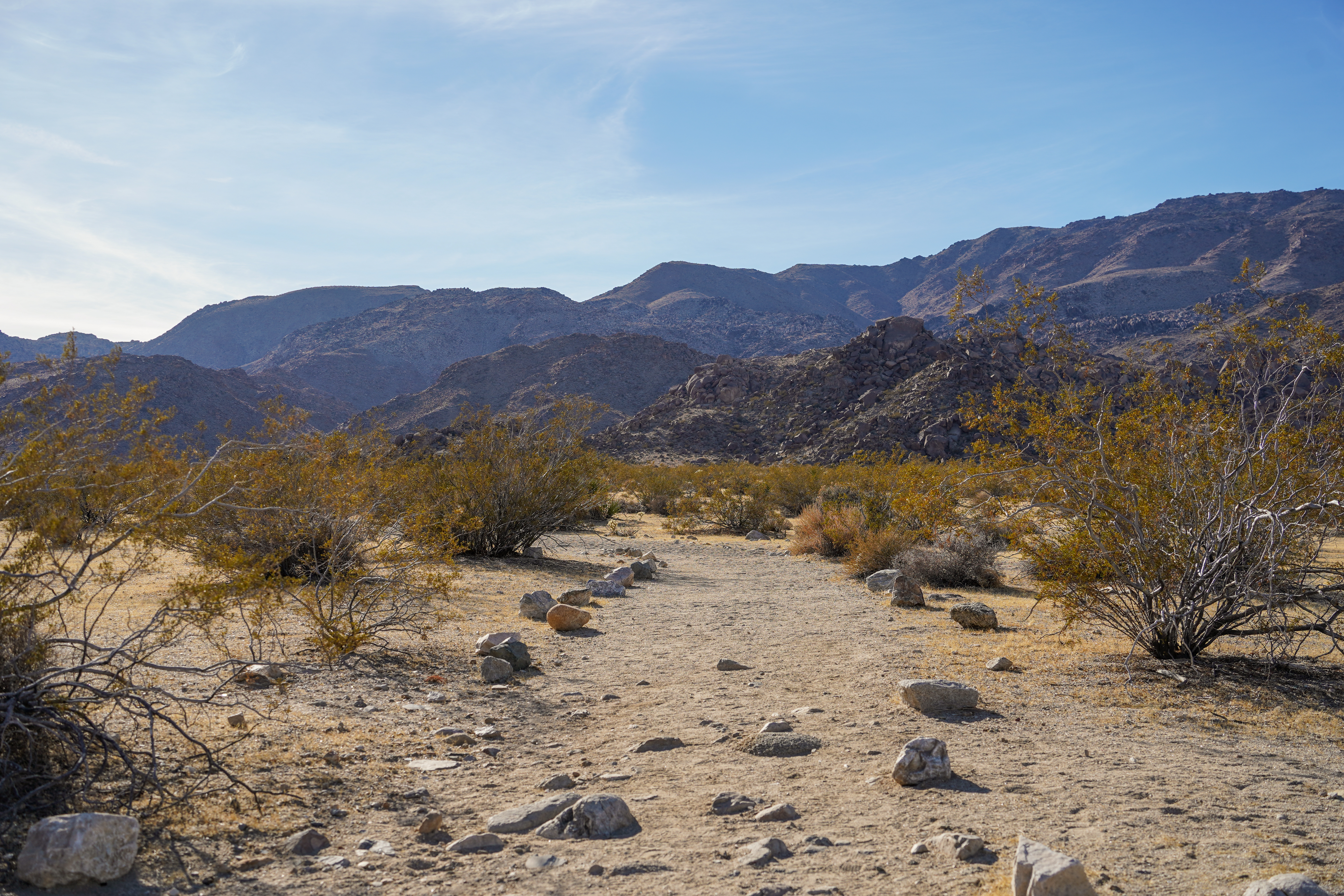
Desert Tortoise (Contact Mine)
~7 min drive
The Contact Mine Trail is an out-and-back hike to a historic mining site. It is 4-miles round trip with 700 feet of elevation gain. The trail begins in a sandy wash then ascends a rocky mountainside to the mine. The hike features expansive views of the surrounding mountains an…
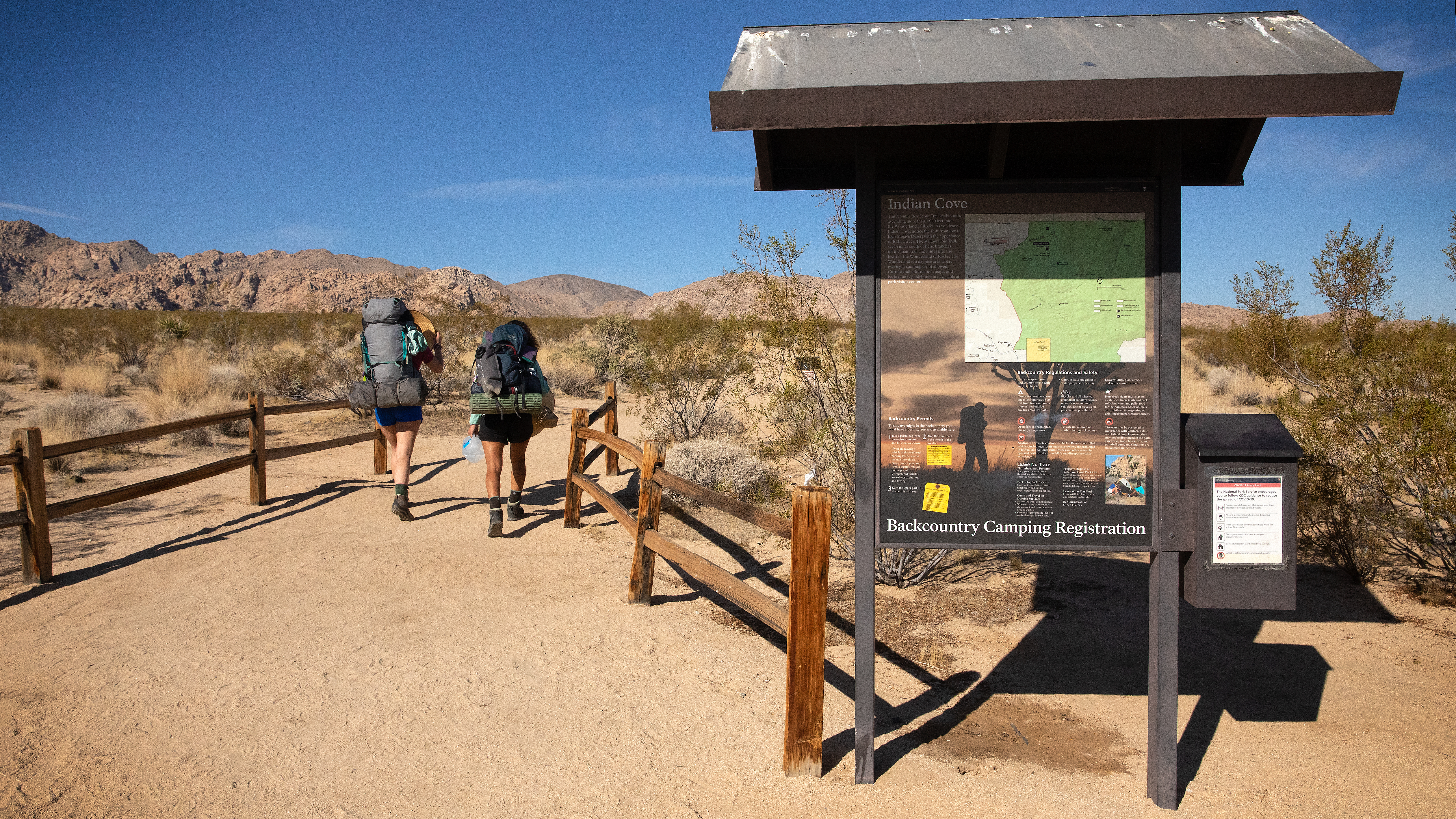
Indian Cove Wilderness Backpacking Board
~12 min drive
The Indian Cove Wilderness Backcountry Board is located at the beginning of the Lower Boy Scout Trail, aka the north end of the Boy Scout Trail in Indian Cove. This trailhead provides access to the Boy Scout Trail, which in turn connects to several other trails for longer hike…
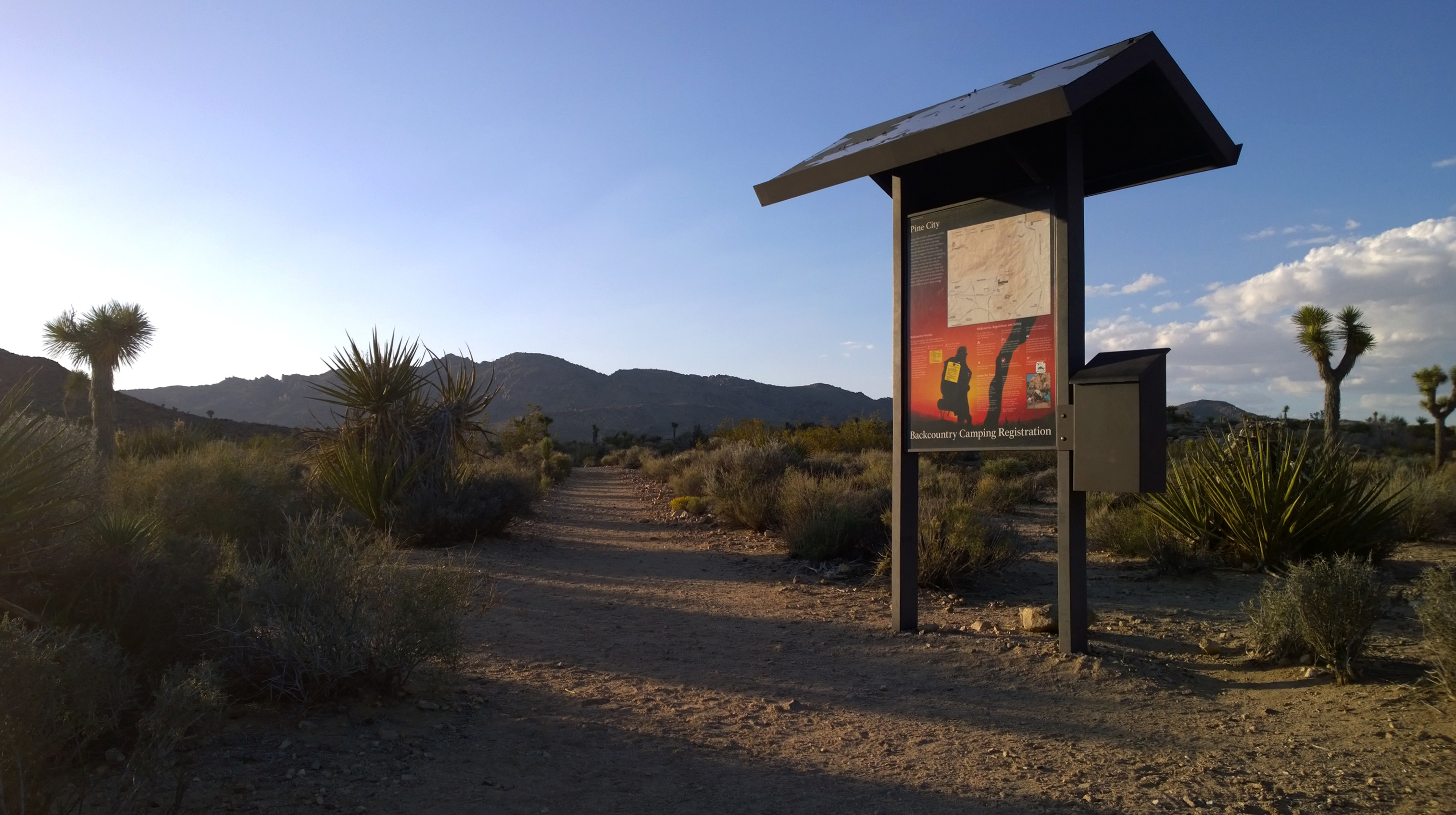
Pine City Trailhead
~13 min drive
<p>Pine City Trailhead is located in the central portion of the park at the east end of Queen Valley Road. This trailhead provides access to the Pine City Trail and the Lucky Boy Vista Trail. The Pine City Trail is a four mile out and back mostly sand and level trail with occa…
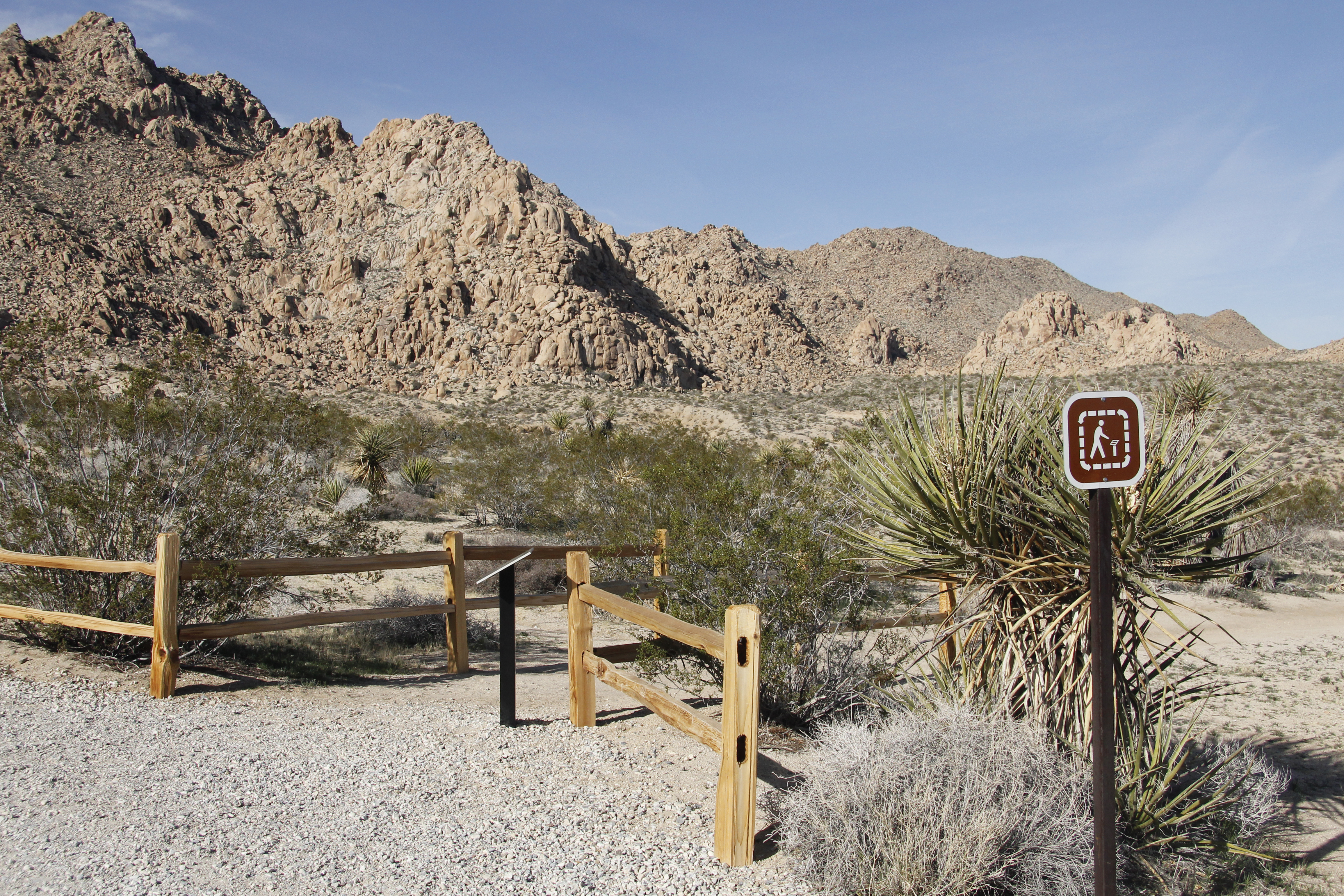
Indian Cove Trailhead
~13 min drive
<p>The Indian Cove Nature Trail Trailhead in located in Indian Cove in the northern section of the park. Beginning to the west of the Indian Cove Campground, this trailhead provides access to an easy .6 mile loop with minimal elevation gain and some steps along the way. Along…
Lucky Boy Loop Trailhead
~14 min drive
<p paraeid="{52b92e0a-0a54-4723-a658-5668a4beb5b9}{82}" paraid="1852801838">Lucky Boy Loop is a 3.25-mile hike with 555 ft of elevation gain. This loop leads hikers through diverse scenery of desert vegetation, rock formations, vista points, and the remains of Elton Mine. Look…
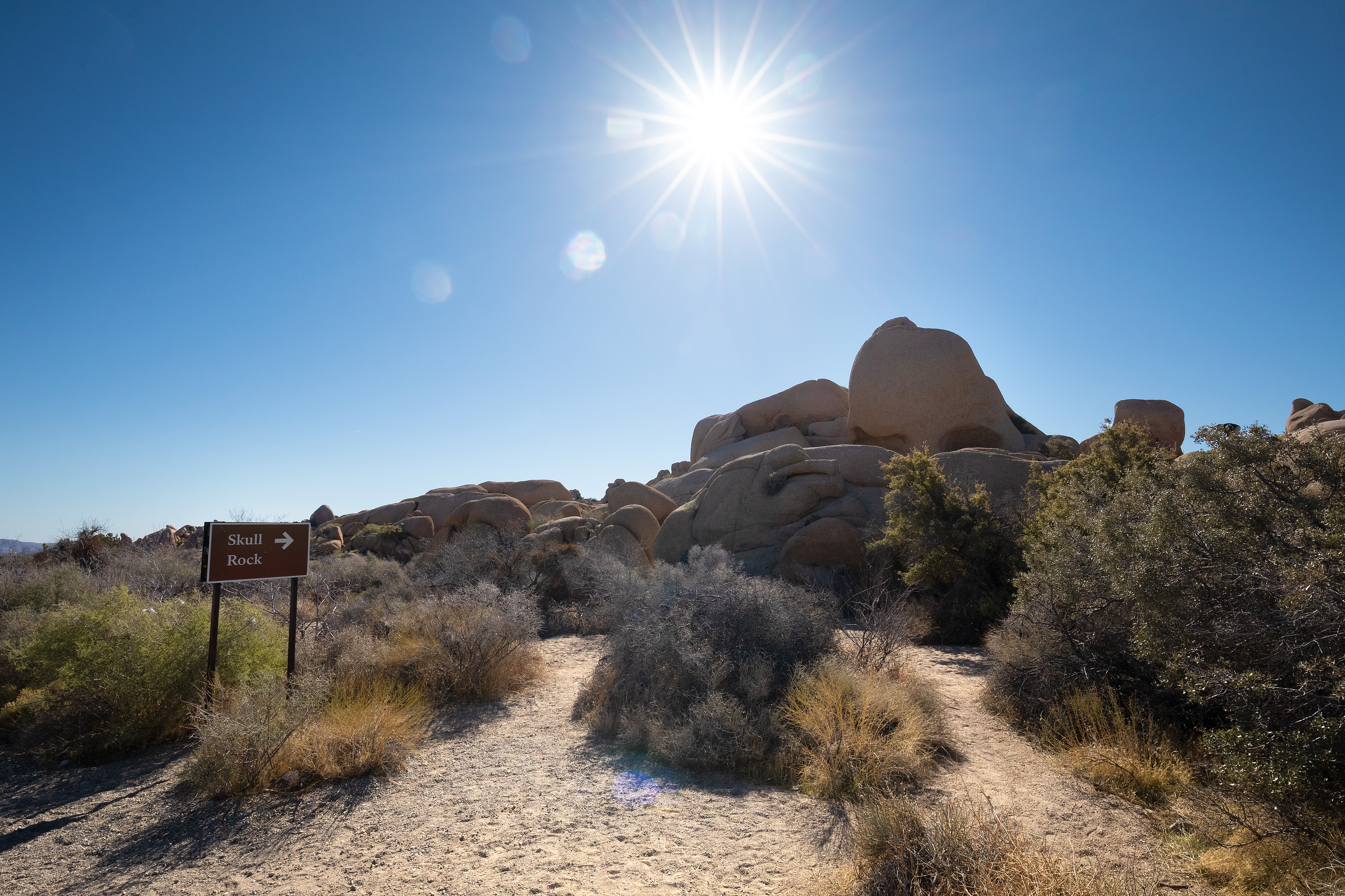
Skull Rock and Discovery Trail Trailheads
~16 min drive
Located along Park Boulevard between Jumbo Rocks and Live Oak, these trailheads provide access to the Skull Rock Nature Trail and the Discovery Trail. The Skull Rock Nature Trail is a 1.7 mile loop that can be started from trailheads on either side of the road. The north side…
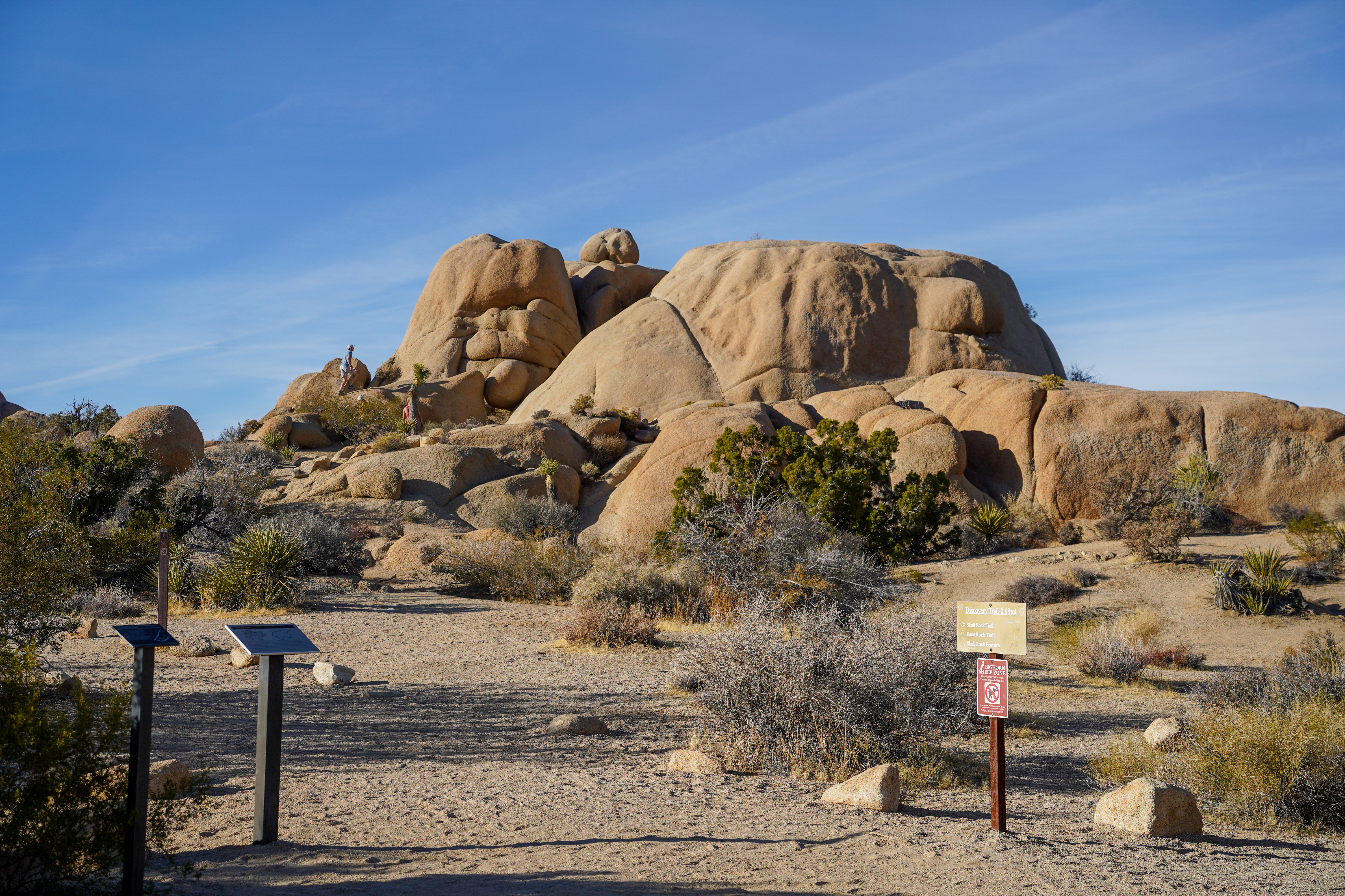
Discovery Trailhead
~16 min drive
<p paraeid="{a6af408c-b51b-47d4-92a5-8619324a9b92}{204}" paraid="862142058">The Discovery Trail is a 0.7-mile (1.1km) loop hike with 70ft (21.3m) of elevation gain and diverse views of the jumbo rocks area. Hike this trail through sandy washes, boulder piles, and unique rock f…
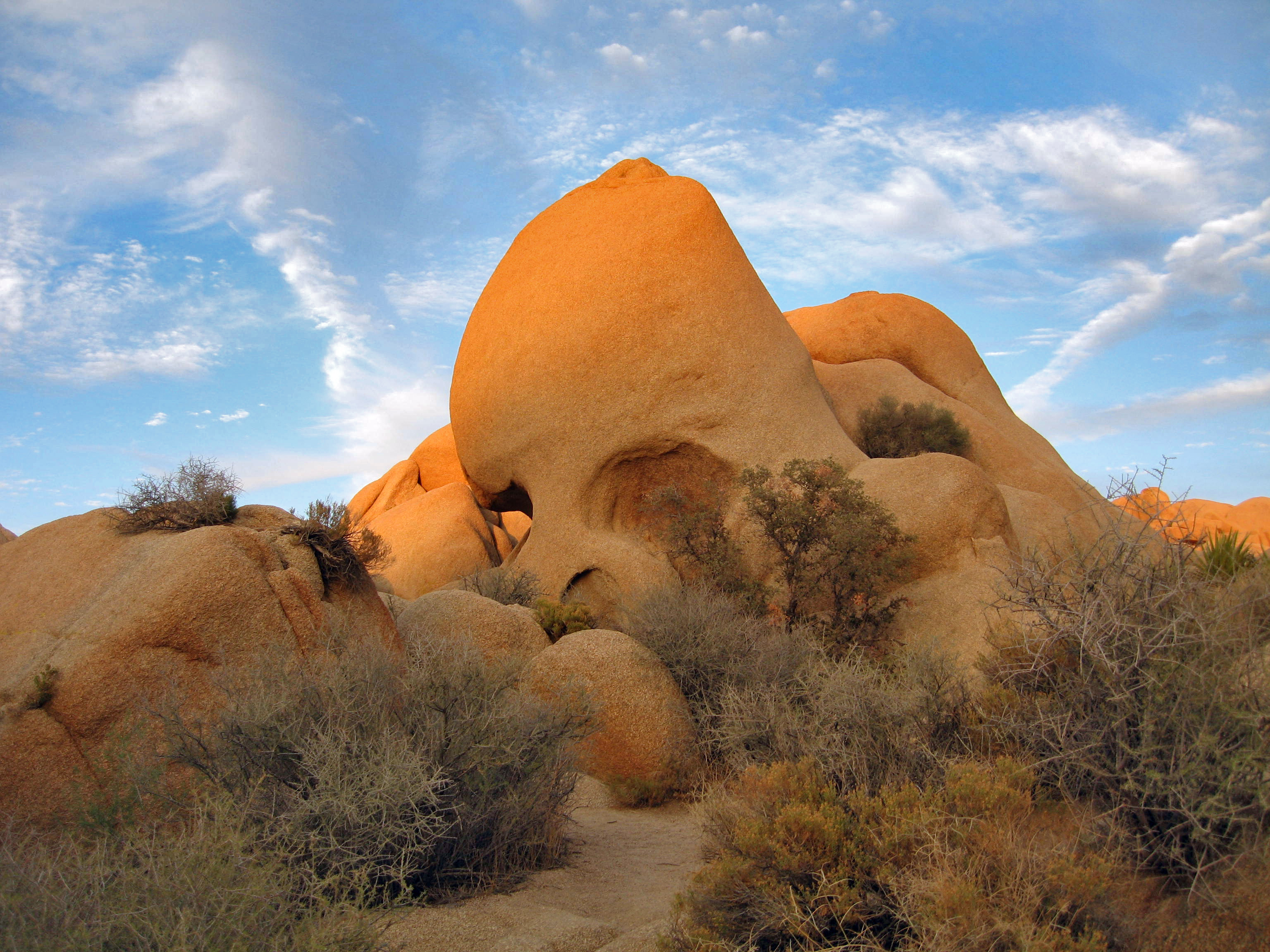
Geology (Skull Rock)
~16 min drive
Skull Rock is a popular destination along Park Boulevard just east of Jumbo Rocks Campground. Formed over many millennia, water drops have slowly eroded two large holes into the rock to make the rock resemble a skull. Skull Rock can be reached by the Skull Rock Nature Trail ju…
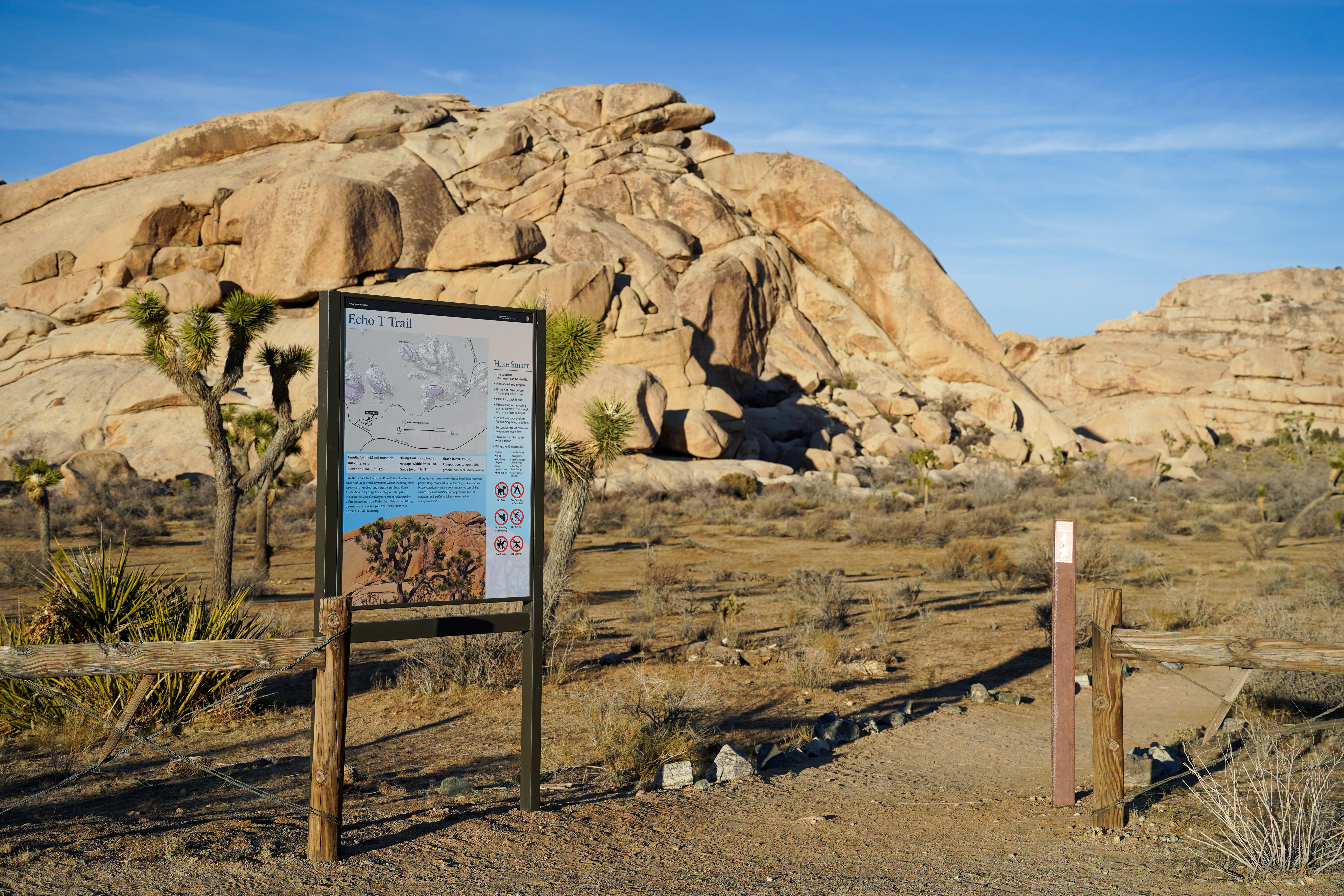
Echo T Trailhead
~17 min drive
Take the Echo T Trail to connect to the Barker Dam Trail from the Echo T parking lot. This trail follows a wash near unique rock formations. Meander among Joshua trees and other desert plants. Watch for climbers or try to spot desert bighorn sheep. Get ready for a minor rock s…
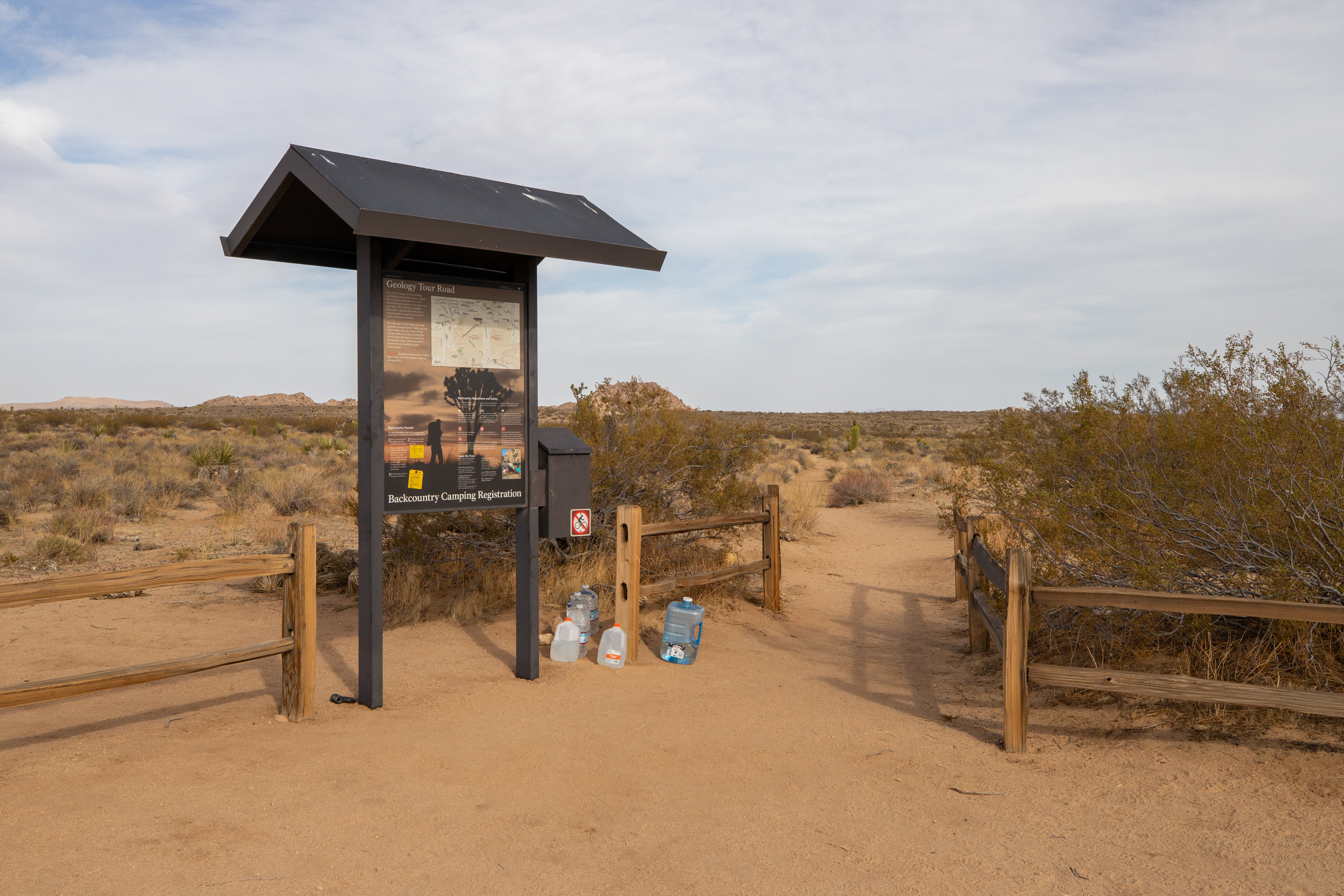
California Riding and Hiking Trail at Geology Tour Road
~17 min drive
<p>Take a hike east or west from here on the California Riding and Hiking Trail. Carry water with you. The California Riding and Hiking Trail is 37 miles total, but smaller sections are popular day-hikes. This trailhead is in the middle of the California Riding and Hiking Trai…
Also worth it near here
