Trail Camp
Campground
1.0 mi from the trail
Crooks Peak is a summit in Inyo County, California, at about 14,231 feet. It sits in Sequoia National Park and the John Muir Wilderness.
Where it is: John Muir Wilderness · Sequoia-Kings Canyon Wilderness
Near: Lone Pine · 11.7 mi
Been here? Tell people how it was.
We don't know of a mapped trail or route to the summit of Crooks Peak. Plan the approach with local maps, a guidebook or a local guide, and check conditions before you go.


 Mt. WhitneyRock climbingPhoto: Moo.The.Cow, CC BY 2.0 (via Flickr)0.3 mi
 Mount WhitneyHikingPhoto: Ken Lund from Reno, Nevada, USA, CC BY-SA 2.0 (via Wikimedia Commons)0.9 mi
 Mt. RussellRock climbingPhoto: Don Graham from Redlands, CA, USA - God bless it!, CC BY-SA 2.0 (via Wikimedia Commons)1.1 mi
 Whitney & Surrounding PeaksRock climbingPhoto: GSEC, CC BY 2.0 (via Flickr)1.2 mi
 North Fork Lone Pine CreekHikingPhoto: Ken Lund — CC BY-SA 2.0 (via Flickr)2.4 mi
 Mount CarillonHikingPhoto: Seth Tisue, CC BY-SA 2.0 (via Flickr)2.9 mi
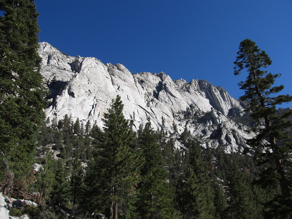 Whitney Trailhead Walk In CampgroundCampingPhoto: Ken Lund — CC BY-SA 2.0 (via Flickr)3 miMount WhitneySummitPhoto: Geographer (talk · contribs), CC BY 1.0 (via Wikimedia Commons)Next doorMount RussellSummitPhoto: Will Beback at en.wikipedia, CC BY-SA 3.0 (via Wikimedia Commons)~2 min drive
 Mount McAdieSummitPhoto: glenngould, CC BY 2.0 (via Wikimedia Commons)~3 min drive
 Mount MallorySummitPhoto: Jonathan Fox, CC BY-SA 2.0 (via Wikimedia Commons)~4 min drive
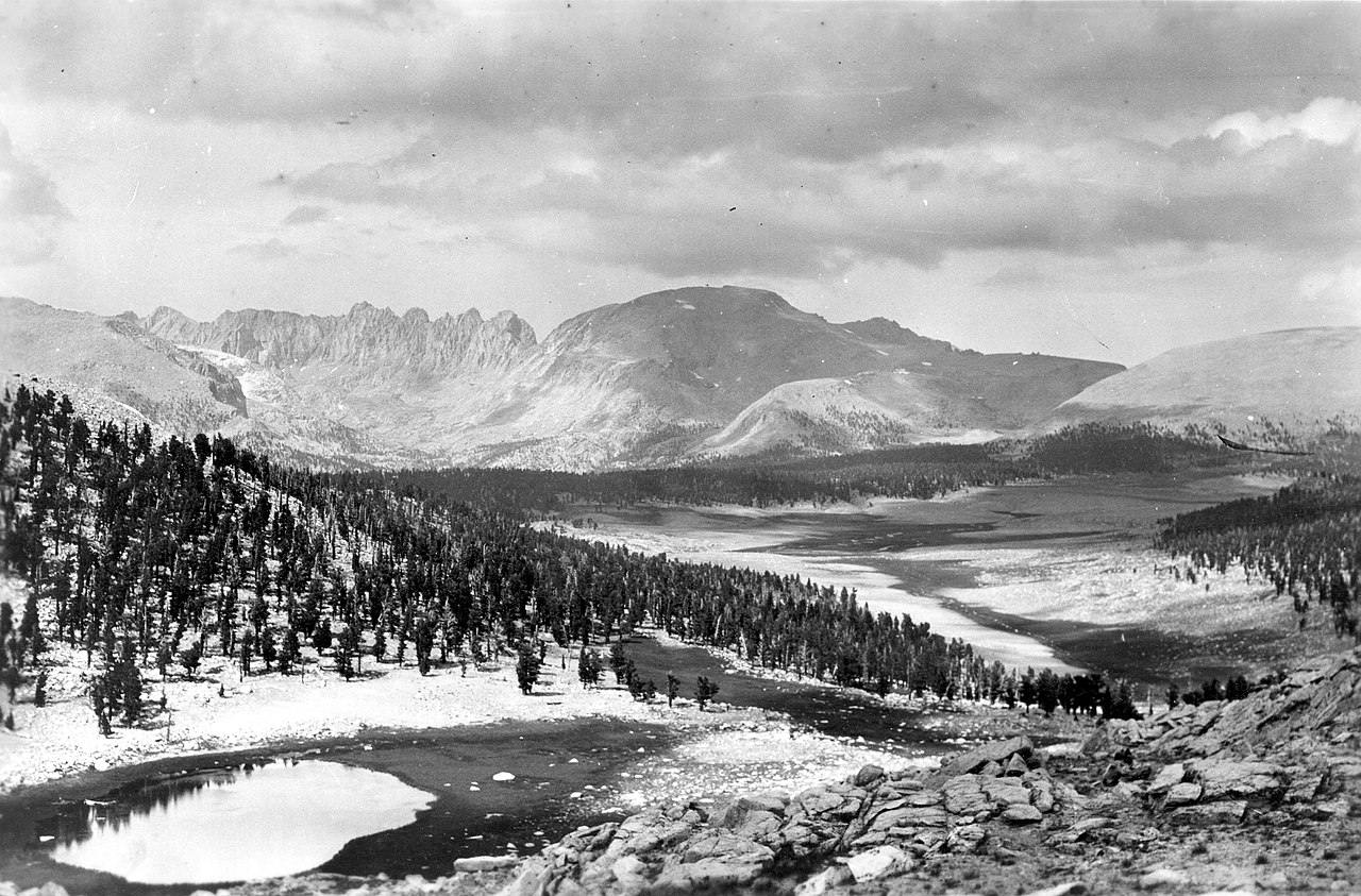 Mount Le ConteSummitPhoto: Not stated., Public domain (via Wikimedia Commons)~5 min drive
 Mount CorcoranSummitPhoto: Eggbones, CC BY-SA 4.0 (via Wikimedia Commons)~6 min drive
 Lone Pine PeakSummitPhoto: UFGS Region 5, CC BY 2.0 (via Wikimedia Commons)~6 min drive
 Mount LangleySummitPhoto: Timwryan (talk · contribs), CC BY-SA 4.0 (via Wikimedia Commons)~8 min drive
 Trojan PeakSummitPhoto: Paul Fretheim (talk · contribs), CC BY-SA 3.0 (via Wikimedia Commons)~8 min drive
 Mount VersteegSummitPhoto: Tim Berger, CC BY 2.0 (via Wikimedia Commons)~9 min drive
Daily highs and lows, wind and the chance of precipitation at the summit for the next 7 days, from the Open-Meteo model.
14,231 ft (4,338 m).
We don't know of a mapped trail or route to the summit. Plan the approach with local maps, a guidebook or a local guide.
Questions about Crooks Peak: conditions, access, timing. Answers say when something isn't known.
Trail Camp
Campground
Whitney Portal Store
Restaurant
Kern Hot Spring
Hot spring
Places © OpenStreetMap contributors
More in Silver City