Angle Peak
At a glance
Angle Peak is a summit in the Entiat Ranger District of the Okanogan-Wenatchee National Forest in Washington, about 13 miles from the town of Manson. The Angle Peak Trail begins about 0.1 mile away and is the most direct way onto the peak. One covers Rattlesnake Road 5215. The other covers Railroad and Preston Creek roads, which also reach into the neighboring Chelan Ranger District. Several other trails and campgrounds are close by. Devil's Backbone Trail lies about 1.4 miles away and Pot Peak about 1.7 miles off. For an overnight stay, Handy Springs campground is about 2.7 miles away and Junior Point is about 3.9 miles away.
- summit
- 6,736 ft
- way up
- 1
Where it is: Entiat Ranger District · Okanogan-Wenatchee National Forest
Near: Chelan
Been here? Tell people how it was.
Map © Mapbox © OpenStreetMap contributors - Crescent Hill6,749 ft · Washington2 routes2.4 mi away
- Stormy Mountain7,187 ft · Washington1 route4.2 mi away
- Cougar Mountain6,704 ft · Washington1 route8.3 mi away
- Klone Peak6,821 ft · Washington2 routes9.5 mi away
- Pyramid Mountain8,266 ft · Washington1 route12 mi away
- Fourth of July Mountain3,535 ft · Washington1 route12 mi away
 Cardinal PeakSummitPhoto: Laurel F, CC BY-SA 2.0 (via Wikimedia Commons)~25 min drive
 Star PeakSummitPhoto: brewbooks from near Seattle, USA, CC BY-SA 4.0 (via Wikimedia Commons)~37 min drive
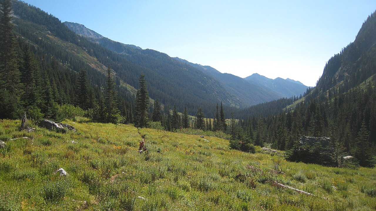 Mount MaudeSummitPhoto: Mark Iverson, CC BY-SA 2.0 (via Wikimedia Commons)~39 min drive
 Seven Fingered JackSummitPhoto: Walter Siegmund (talk), CC BY-SA 3.0 (via Wikimedia Commons)~40 min drive
 Mount FernowSummitPhoto: Ron Clausen, CC BY-SA 4.0 (via Wikimedia Commons)~41 min drive
 Oval PeakSummitPhoto: Flightbit, CC BY-SA 4.0 (via Wikimedia Commons)~41 min drive
 Castle RockSummitPhoto: Matt Howry, CC BY 2.0 (via Wikimedia Commons)~43 min drive
 Dumbell MountainSummitPhoto: Martin Bravenboer, CC BY 2.0 (via Wikimedia Commons)~45 min drive
 Clark MountainSummitPhoto: Martin Bravenboer, CC BY 2.0 (via Wikimedia Commons)~46 min drive
 Badger MountainSummitPhoto: John Stamets, Public domain (via Wikimedia Commons)~46 min drive
Conditions and forecast
Daily highs and lows, wind and the chance of precipitation at the summit and route start for the next 7 days, from the Open-Meteo model.
Questions about Angle Peak
How tall is Angle Peak?
6,736 ft (2,053 m).
How many routes go to the summit of Angle Peak?
One: Angle Peak Trail.
Ask about this place
Questions about Angle Peak: conditions, access, timing. Answers say when something isn't known.
