Stormy Mountain
- 7,187 ft
- summit
- 1
- way up
Is Stormy Mountain open right now?
Closure in the area
There's a closure order in Okanogan-Wenatchee National Forest. It doesn't name Stormy Mountain, so check the source for the area it covers (2 listed).
Little Giant Fire Closure Superseding
Agency closure covering Okanogan-Wenatchee National Forest · Order 06-17-07-2026-48 · USFS · Okanogan-Wenatchee National Forest
Railroad and Preston Creek Road Closure
Agency closure covering Okanogan-Wenatchee National Forest · Order 06-17-05-26-04 · USFS · Okanogan-Wenatchee National Forest
Updated Little Giant Fire Closure Order- Wenatchee River and Entiat-Chelan Ranger Districts
Agency alert covering Entiat Ranger District · Order 06-170-7-2026-48 · USFS · Entiat Ranger District
Cle Elum River Restoration Area Closure on the Cle Elum Ranger District
Agency alert covering Okanogan-Wenatchee National Forest · USFS · Okanogan-Wenatchee National Forest
Gold Creek Restoration Project Area Closure on Cle Elum Ranger District
Agency alert covering Okanogan-Wenatchee National Forest · USFS · Okanogan-Wenatchee National Forest
As of · Source: USFS · Okanogan-Wenatchee National Forest. Agencies don't list every closure — check before you go.
Stormy Mountain is a summit in the Entiat Ranger District of the Okanogan-Wenatchee National Forest in Washington, about 9 miles from the town of Manson. Pot Peak and the Devil's Backbone Trail both lie within about 3 miles. Snowberry Bowl Campground is about 5 miles away, and the Chelan climbing area is a little over 7 miles off.
Conditions and forecast
Daily highs and lows, wind and the chance of precipitation at the summit and route start for the next 7 days, from the Open-Meteo model.
- Summit elevation
- 7,187 ft
Elevation from USGS 3D Elevation Program terrain data (about 10 m resolution).
Map © Mapbox © OpenStreetMap contributors Questions about Stormy Mountain
How tall is Stormy Mountain?
7,187 ft (2,191 m).
How many routes go to the summit of Stormy Mountain?
One: Devil's Backbone Trail.
- Angle Peak6,736 ft · Washington1 route4.2 mi away
- Crescent Hill6,749 ft · Washington2 routes6.0 mi away
- Fourth of July Mountain3,535 ft · Washington1 route9.8 mi away
- Cougar Mountain6,704 ft · Washington1 route11 mi away
- Klone Peak6,821 ft · Washington2 routes13 mi away
- Fox Peak6,219 ft · Washington1 route14 mi away
- POT PEAKHiking2.7 mi
- Devil's Backbone TrailHiking2.9 mi
- Trail to Stan's RockHiking3.6 mi
- Snowberry Bowl CampgroundCamping5.1 mi
- Handy SpringsCamping6.3 mi
- Grouse MountainCamping6.5 mi
- ChelanRock climbing7.2 mi
- Mad RiverCanoeing9.3 mi
Source: Roamze catalog (indexable pages within 10 miles, PostGIS distance)
 Cardinal PeakSummit · ~32 min drivePhoto: Laurel F, CC BY-SA 2.0 (via Wikimedia Commons)
 Badger MountainSummit · ~40 min drivePhoto: John Stamets, Public domain (via Wikimedia Commons)
 Hoodoo PeakSummit · ~42 min drivePhoto: brewbooks from near Seattle, USA, CC BY-SA 2.0 (via Wikimedia Commons)
 Star PeakSummit · ~42 min drivePhoto: brewbooks from near Seattle, USA, CC BY-SA 4.0 (via Wikimedia Commons)
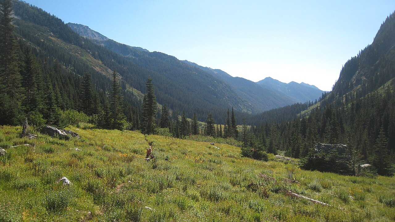 Mount MaudeSummit · ~46 min drivePhoto: Mark Iverson, CC BY-SA 2.0 (via Wikimedia Commons)
 Oval PeakSummit · ~46 min drivePhoto: Flightbit, CC BY-SA 4.0 (via Wikimedia Commons)
 Seven Fingered JackSummit · ~47 min drivePhoto: Walter Siegmund (talk), CC BY-SA 3.0 (via Wikimedia Commons)
 Mount FernowSummit · ~48 min drivePhoto: Ron Clausen, CC BY-SA 4.0 (via Wikimedia Commons)
 Castle RockSummit · ~50 min drivePhoto: Matt Howry, CC BY 2.0 (via Wikimedia Commons)
 Clark MountainSummit · ~52 min drivePhoto: Martin Bravenboer, CC BY 2.0 (via Wikimedia Commons)
