Castle Rock
 Photo: Matt Howry, CC BY 2.0 (via Wikimedia Commons)
- 8,140 ft
- summit
- National Park Service
- managed by
Is Castle Rock open right now?
Closure in the area
There's a closure order in Okanogan-Wenatchee National Forest. It doesn't name Castle Rock, so check the source for the area it covers (2 listed).
Little Giant Fire Closure Superseding
Agency closure covering Okanogan-Wenatchee National Forest · Order 06-17-07-2026-48 · USFS · Okanogan-Wenatchee National Forest
Railroad and Preston Creek Road Closure
Agency closure covering Okanogan-Wenatchee National Forest · Order 06-17-05-26-04 · USFS · Okanogan-Wenatchee National Forest
Cle Elum River Restoration Area Closure on the Cle Elum Ranger District
Agency alert covering Okanogan-Wenatchee National Forest · USFS · Okanogan-Wenatchee National Forest
Gold Creek Restoration Project Area Closure on Cle Elum Ranger District
Agency alert covering Okanogan-Wenatchee National Forest · USFS · Okanogan-Wenatchee National Forest
Grouse Creek Aquatic Project Road Closure on the Wenatchee River Ranger District
Agency alert covering Okanogan-Wenatchee National Forest · USFS · Okanogan-Wenatchee National Forest
As of · Source: USFS · Okanogan-Wenatchee National Forest. Agencies don't list every closure — check before you go.
Castle Rock is a summit of about 8,140 feet in Chelan County, Washington, rising within Lake Chelan National Recreation Area and the Stephen Mather Wilderness. The National Park Service manages the land, and the peak also lies along the Okanogan-Wenatchee National Forest. The nearest town is Moore, about 4 miles away. Several nearby spots can round out a visit. Devore Creek Trail starts about 3.4 miles away, and Moore Point campground sits about 3.8 miles out. The Lakeshore Trail is about 3.9 miles off, and the Stehekin climbing area is roughly 5.7 miles away.
Conditions and forecast
Daily highs and lows, wind and the chance of precipitation at the summit for the next 7 days, from the Open-Meteo model.
- Summit elevation
- 8,140 ft
- Land manager
- National Park Service
Elevation from USGS 3D Elevation Program terrain data (about 10 m resolution).
We don't know of a mapped trail or route to the summit of Castle Rock. Plan the approach with local maps, a guidebook or a local guide, and check conditions before you go.
Questions about Castle Rock
How tall is Castle Rock?
8,140 ft (2,481 m).
Is there a trail to the top of Castle Rock?
We don't know of a mapped trail or route to the summit. Plan the approach with local maps, a guidebook or a local guide.
- Moore Mountain7,693 ft · Washington1 route6.6 mi away
- Splawn Mountain7,460 ft · Washington1 route7.3 mi away
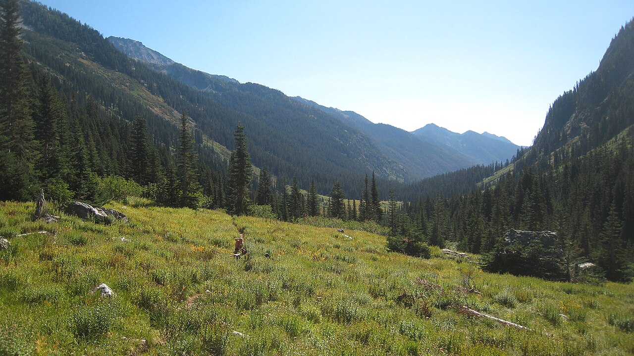 Mount Maude9,075 ft · Washington1 route9.8 mi awayPhoto: Mark Iverson, CC BY-SA 2.0 (via Wikimedia Commons)
- Gray Peak8,104 ft · Washington1 route11 mi away
 Cloudy Peak7,914 ft · Washington1 route11 mi awayPhoto: Martin Bravenboer, CC BY 2.0 (via Wikimedia Commons)
- Williams Butte7,554 ft · Washington1 route11 mi away
- Devore Creek TrailHiking3.4 mi
- Moore PointCamping3.8 mi
 Lakeshore TrailHikingPhoto: Robert Ashworth from Bellingham, WA., USA, CC BY 2.0 (via Wikimedia Commons)3.9 mi
- Box of Chocolates BouldersRock climbing3.9 mi
- Weaver Point CampgroundHiking4 mi
- StehekinRock climbing5.7 mi
- HoldenCamping6 mi
- Lucerne CampgroundCamping6.1 mi
Source: Roamze catalog (indexable pages within 10 miles, PostGIS distance)
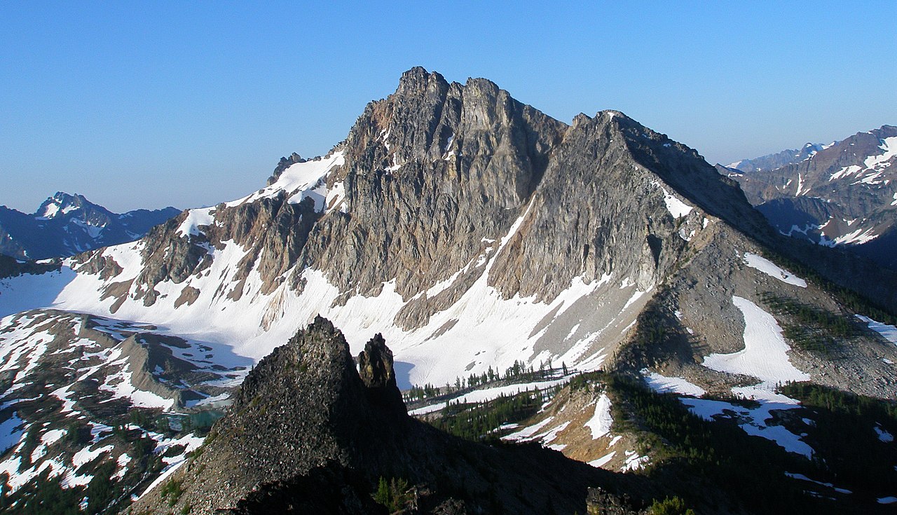 Devore PeakSummit · ~6 min drivePhoto: samara_breeze, CC BY 2.0 (via Wikimedia Commons)
 Tupshin PeakSummit · ~7 min drivePhoto: Park Ranger, CC BY 2.0 (via Wikimedia Commons)
 Bonanza PeakSummit · ~14 min drivePhoto: Ralph A. Haugerud and Rowland W. Tabor, Public domain (via Wikimedia Commons)
 Mount FernowSummit · ~14 min drivePhoto: Ron Clausen, CC BY-SA 4.0 (via Wikimedia Commons)
 Seven Fingered JackSummit · ~16 min drivePhoto: Walter Siegmund (talk), CC BY-SA 3.0 (via Wikimedia Commons)
 Dumbell MountainSummit · ~16 min drivePhoto: Martin Bravenboer, CC BY 2.0 (via Wikimedia Commons)
- Mount MaudeSummit · ~17 min drivePhoto: Mark Iverson, CC BY-SA 2.0 (via Wikimedia Commons)
 Reynolds PeakSummit · ~17 min drivePhoto: Ron Clausen, CC BY-SA 4.0 (via Wikimedia Commons)
- Cloudy PeakSummit · ~18 min drivePhoto: Martin Bravenboer, CC BY 2.0 (via Wikimedia Commons)
 Cardinal PeakSummit · ~19 min drivePhoto: Laurel F, CC BY-SA 2.0 (via Wikimedia Commons)
