Cardinal Peak
 Photo: Laurel F, CC BY-SA 2.0 (via Wikimedia Commons)
- 8,586 ft
- summit
- Forest Service
- managed by
Is Cardinal Peak open right now?
Closure in the area
There's a closure order in Okanogan-Wenatchee National Forest. It doesn't name Cardinal Peak, so check the source for the area it covers (3 listed).
Little Giant Fire Closure Superseding
Agency closure covering Okanogan-Wenatchee National Forest · Order 06-17-07-2026-48 · USFS · Okanogan-Wenatchee National Forest
Railroad and Preston Creek Road Closure
Agency closure covering Okanogan-Wenatchee National Forest · Order 06-17-05-26-04 · USFS · Okanogan-Wenatchee National Forest
Sisi Fire Trail Closure
Agency closure covering Chelan Ranger District · Order 06-17-02-2026-35 · USFS · Chelan Ranger District
Sisi Fire Trails Closure
Agency alert covering Chelan Ranger District · Order 06-17-02-2026-35 · USFS · Chelan Ranger District
Cle Elum River Restoration Area Closure on the Cle Elum Ranger District
Agency alert covering Okanogan-Wenatchee National Forest · USFS · Okanogan-Wenatchee National Forest
As of · Source: USFS · Okanogan-Wenatchee National Forest. Agencies don't list every closure — check before you go.
Cardinal Peak is a summit of about 8,586 feet in Chelan County, Washington, within the Chelan Ranger District of the Okanogan-Wenatchee National Forest. The nearest town is Domke Lake Resort, about 6 miles away, and the Forest Service manages the surrounding land. Several trails start close by. Pyramid Mountain Trail #1433 is about 1.5 miles away, and Pugh Ridge Trail #1438 and Fern Lake Trail #1436 are each about 2 miles off. For an overnight base, Domke Falls campground sits roughly 5 miles from the summit.
Conditions and forecast
Daily highs and lows, wind and the chance of precipitation at the summit for the next 7 days, from the Open-Meteo model.
- Summit elevation
- 8,586 ft
- Land manager
- Forest Service
Elevation from USGS 3D Elevation Program terrain data (about 10 m resolution).
We don't know of a mapped trail or route to the summit of Cardinal Peak. Plan the approach with local maps, a guidebook or a local guide, and check conditions before you go.
Questions about Cardinal Peak
How tall is Cardinal Peak?
8,586 ft (2,617 m).
Is there a trail to the top of Cardinal Peak?
We don't know of a mapped trail or route to the summit. Plan the approach with local maps, a guidebook or a local guide.
- Pyramid Mountain8,266 ft · Washington1 route2.6 mi away
- Duncan Hill7,812 ft · Washington1 route3.9 mi away
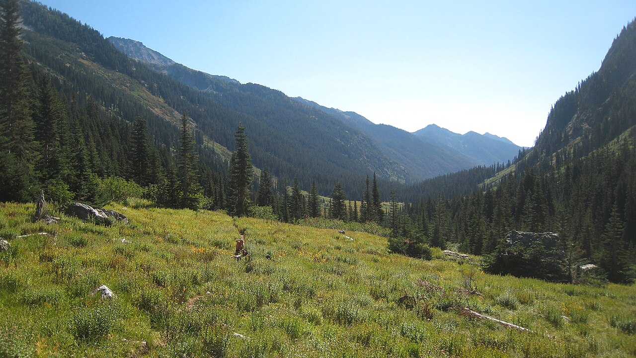 Mount Maude9,075 ft · Washington1 route9.1 mi awayPhoto: Mark Iverson, CC BY-SA 2.0 (via Wikimedia Commons)
- Klone Peak6,821 ft · Washington2 routes9.8 mi away
- Estes Butte5,940 ft · Washington1 route10 mi away
- Crescent Hill6,749 ft · Washington2 routes13 mi away
- Pyramid Mountain Trail #1433Hiking1.5 mi
- Pugh Ridge Trail #1438Hiking1.9 mi
- Fern Lake Trail #1436Hiking2 mi
- FERN LAKEHiking2 mi
- Domke FallsCamping5.3 mi
- Domke LakeCamping5.6 mi
- Graham Harbor Creek CampgroundCamping5.7 mi
- Cottonwood CabinCamping5.8 mi
Source: Roamze catalog (indexable pages within 10 miles, PostGIS distance)
- Mount MaudeSummit · ~16 min drivePhoto: Mark Iverson, CC BY-SA 2.0 (via Wikimedia Commons)
 Seven Fingered JackSummit · ~17 min drivePhoto: Walter Siegmund (talk), CC BY-SA 3.0 (via Wikimedia Commons)
 Mount FernowSummit · ~17 min drivePhoto: Ron Clausen, CC BY-SA 4.0 (via Wikimedia Commons)
 Castle RockSummit · ~19 min drivePhoto: Matt Howry, CC BY 2.0 (via Wikimedia Commons)
 Dumbell MountainSummit · ~22 min drivePhoto: Martin Bravenboer, CC BY 2.0 (via Wikimedia Commons)
 Star PeakSummit · ~23 min drivePhoto: brewbooks from near Seattle, USA, CC BY-SA 4.0 (via Wikimedia Commons)
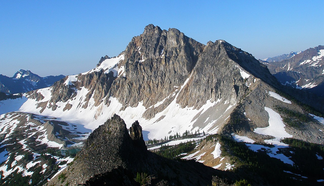 Devore PeakSummit · ~24 min drivePhoto: samara_breeze, CC BY 2.0 (via Wikimedia Commons)
 Chiwawa MountainSummit · ~24 min drivePhoto: Martin Bravenboer, CC BY 2.0 (via Wikimedia Commons)
 Tupshin PeakSummit · ~25 min drivePhoto: Park Ranger, CC BY 2.0 (via Wikimedia Commons)
 Bonanza PeakSummit · ~26 min drivePhoto: Ralph A. Haugerud and Rowland W. Tabor, Public domain (via Wikimedia Commons)

