Fourth of July Mountain
- 3,535 ft
- summit
- 1
- way up
- Apr–Oct
- best months
Is Fourth of July Mountain open right now?
Closure in the area
There's a closure order in Okanogan-Wenatchee National Forest. It doesn't name Fourth of July Mountain, so check the source for the area it covers (3 listed).
Little Giant Fire Closure Superseding
Agency closure covering Okanogan-Wenatchee National Forest · Order 06-17-07-2026-48 · USFS · Okanogan-Wenatchee National Forest
Railroad and Preston Creek Road Closure
Agency closure covering Okanogan-Wenatchee National Forest · Order 06-17-05-26-04 · USFS · Okanogan-Wenatchee National Forest
Sisi Fire Trail Closure
Agency closure covering Chelan Ranger District · Order 06-17-02-2026-35 · USFS · Chelan Ranger District
Sisi Fire Trails Closure
Agency alert covering Chelan Ranger District · Order 06-17-02-2026-35 · USFS · Chelan Ranger District
Cle Elum River Restoration Area Closure on the Cle Elum Ranger District
Agency alert covering Okanogan-Wenatchee National Forest · USFS · Okanogan-Wenatchee National Forest
As of · Source: USFS · Okanogan-Wenatchee National Forest. Agencies don't list every closure — check before you go.
Fourth of July Mountain is a summit in Washington, 3535 feet elevation. It is reached by the Fourth of July Mountain trail, a 2.66-mile public trail passing within 150 meters of the summit.
Conditions and forecast
Daily highs and lows, wind and the chance of precipitation at the summit and route start for the next 7 days, from the Open-Meteo model.
- Summit elevation
- 3,535 ft
Elevation from USGS 3D Elevation Program terrain data (about 10 m resolution).
Map © Mapbox © OpenStreetMap contributors Questions about Fourth of July Mountain
How tall is Fourth of July Mountain?
3,535 ft (1,077 m).
How many routes go to the summit of Fourth of July Mountain?
One: Fourth of July Mountain.
- Fox Peak6,219 ft · Washington1 route9.3 mi away
- Stormy Mountain7,187 ft · Washington1 route9.8 mi away
- Crescent Hill6,749 ft · Washington2 routes12 mi away
- Angle Peak6,736 ft · Washington1 route12 mi away
- Chelan Butte3,825 ft · Washington1 route12 mi away
- North Navarre Peak7,984 ft · Washington1 route14 mi away
- GRADE CREEK SNOMOHiking0.8 mi
- Mitchell CreekCamping1.4 mi
- ChelanRock climbing3.2 mi
- MITCHELL-GOLD RIDGEHiking4.2 mi
 COOPER MOUNTAIN SNOMOHikingPhoto: brewbooks from near Seattle, USA, CC BY-SA 2.0 (via Wikimedia Commons)4.7 mi
- Bergman Gulch TrailHiking5.5 mi
- Snowberry Bowl CampgroundCamping5.9 mi
- Grouse MountainCamping7 mi
Source: Roamze catalog (indexable pages within 10 miles, PostGIS distance)
 Hoodoo PeakSummit · ~37 min drivePhoto: brewbooks from near Seattle, USA, CC BY-SA 2.0 (via Wikimedia Commons)
 Star PeakSummit · ~40 min drivePhoto: brewbooks from near Seattle, USA, CC BY-SA 4.0 (via Wikimedia Commons)
 Oval PeakSummit · ~44 min drivePhoto: Flightbit, CC BY-SA 4.0 (via Wikimedia Commons)
 Badger MountainSummit · ~45 min drivePhoto: John Stamets, Public domain (via Wikimedia Commons)
 Castle RockSummit · ~55 min drivePhoto: Matt Howry, CC BY 2.0 (via Wikimedia Commons)
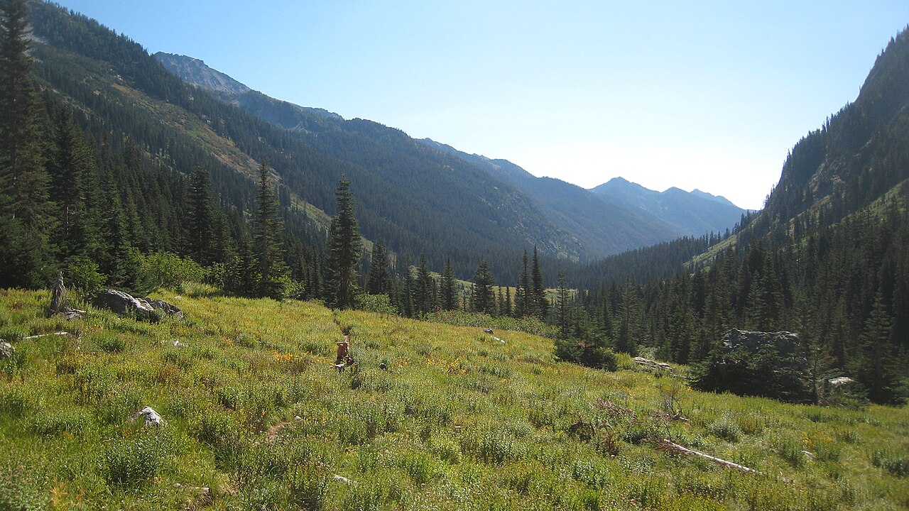 Mount MaudeSummit · ~55 min drivePhoto: Mark Iverson, CC BY-SA 2.0 (via Wikimedia Commons)
 Seven Fingered JackSummit · ~56 min drivePhoto: Walter Siegmund (talk), CC BY-SA 3.0 (via Wikimedia Commons)
 Mount FernowSummit · ~56 min drivePhoto: Ron Clausen, CC BY-SA 4.0 (via Wikimedia Commons)
 Patterson MountainSummit · ~58 min drivePhoto: Lethargilistic, CC0 (via Wikimedia Commons)
 Reynolds PeakSummit · ~59 min drivePhoto: Ron Clausen, CC BY-SA 4.0 (via Wikimedia Commons)
Best time to visit Fourth of July Mountain
Best months: April–October. Best months have typical highs of 55–85 °F, lows of 30 °F or warmer (32 °F where the station doesn't record snow), at most one snowy day and no more than 12 wet days.
Jan
31° / 17°
8 wet
Feb
36° / 19°
6 wet
Mar
47° / 26°
6 wet
Apr
57° / 33°
5 wet
May
67° / 41°
6 wet
Jun
74° / 46°
5 wet
Jul
84° / 53°
3 wet
Aug
83° / 53°
2 wet
Sep
74° / 45°
3 wet
Oct
58° / 33°
5 wet
Nov
40° / 24°
7 wet
Dec
31° / 16°
8 wet
Typical high / low (°F) and days with rain or snow, 1991–2020. Measured at Waterville, WA, 21.9 mi away at 2,664 ft. The station sits about 900 ft lower than this place, so expect it a little cooler here. This station doesn't record snowfall. Source: NOAA NCEI U.S. Climate Normals 1991–2020.
