Adv Trail
At a glance
The ADV Trail is a 7.1-mile out-and-back hike in Humboldt National Forest in Nevada, managed by the Forest Service. The route starts at about 5,505 feet and climbs steadily to a high point of 6,090 feet, with a total elevation gain of 2,456 feet over the course of the trip. The steepest stretch comes at about 2.6 miles in, where the grade reaches 13 percent. The most comfortable months for a visit are typically May and September. Typical averages from a nearby weather station show May highs around 73°F and September highs around 83°F, while July and August average in the low 90s. That station sits roughly 1,500 feet below the trail, so temperatures on the route run cooler. The hike takes about 3.5 hours to complete. Black Ridge View, another hike, lies about 9.5 miles away.
- round trip
- 3.6 mi
- climb
- 2,456 ft
- high point
- 6,090 ft
- route
- Out and back
- time
- About 2 hours
- best months
- May–Jun, Sep
Where it is: Humboldt National Forest
Near: Winnemucca
Best time to visit ADV TRAIL
Best months: May–June and September. Best months have typical highs of 55–85 °F, lows of 30 °F or warmer (32 °F where the station doesn't record snow), at most one snowy day and no more than 12 wet days.
Jan
42°
18°
9 wet
Feb
47°
22°
8 wet
Mar
56°
26°
7 wet
Apr
63°
31°
6 wet
May
73°
37°
6 wet
Jun
82°
43°
4 wet
Jul
93°
49°
2 wet
Aug
91°
48°
2 wet
Sep
83°
39°
2 wet
Oct
69°
31°
3 wet
Nov
53°
22°
6 wet
Dec
41°
17°
9 wet
Typical high / low (°F) and days with rain or snow, 1991–2020. Measured at Paradise Valley 1 Nw, NV, 23 mi away at 4,560 ft. The station sits about 1,500 ft lower than this place, so expect it a little cooler here. This station doesn't record snowfall. Source: NOAA NCEI U.S. Climate Normals 1991–2020.
Been here? Tell people how it was.
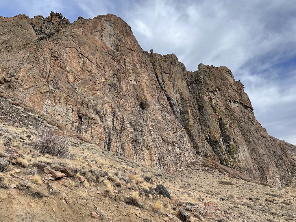 Slick RockHikingPhoto: Seth Tisue, CC BY-SA 2.0 (via Flickr)~20 min drive
- BLACK RIDGE VIEWHiking~16 min drive
- Slick Rock TrailHiking~23 min drive
- Single Tree TrailHiking~24 min drive
- Willow CreekHiking~22 min drive
- Wood Canyon Creek TrailHiking~31 min drive
- Sawtooth Mountain TrailHiking~33 min drive
- Summit TrailHiking~41 min drive
- Summit TrailHiking~30 min drive
- Singas Creek TrailHiking~41 min drive
Also worth it near here
 Paradise ValleyRock climbingPhoto: Seth Tisue, CC BY-SA 2.0 (via Flickr)~21 min drive
- Mitchell's Stateline RV ParkCamping~22 min drive
- Black Butte Lake ReservoirLake fishing~49 min drive
 Bowden HillsSummitPhoto: Bureau of Land Management Oregon and Washington from Portland, America, Public domain (via Wikimedia Commons)~1h 16m drive
Conditions and forecast
Daily highs and lows, wind and the chance of precipitation at Start for the next 7 days, from the Open-Meteo model.
Ask about this place
Questions about Adv Trail: conditions, access, timing. Answers say when something isn't known.
