Black Ridge View
- 0.6 mi
- round trip
- 169 ft
- climb
- 6,474 ft
- high point
- Out and back
- route
Is BLACK RIDGE VIEW open right now?
Closure in the area
There's a closure order in Humboldt-Toiyabe National Forest. It doesn't name BLACK RIDGE VIEW, so check the source for the area it covers.
Elephant Fire Closure
Agency closure covering Humboldt-Toiyabe National Forest · Order 04-17-26-01-04 · USFS · Humboldt-Toiyabe National Forest
Area, Road, and Trail Closures (Spring Mountains National Recreation Area)
Agency alert covering Humboldt-Toiyabe National Forest · Order 04-17-25-04 · USFS · Humboldt-Toiyabe National Forest
Year-Round Fire Restrictions (Spring Mountains National Recreation Area)
Agency alert covering Humboldt-Toiyabe National Forest · Order 04-17-24-01 · USFS · Humboldt-Toiyabe National Forest
Vehicle Snow Chain Requirements during Inclement Weather (Spring Mountains National Recreation Area)
Agency alert covering Humboldt-Toiyabe National Forest · Order 04-17-23-01 · USFS · Humboldt-Toiyabe National Forest
Rainbow Canyon Flood Diversion Structure Closure (Spring Mountains National Recreation Area)
Agency alert covering Humboldt-Toiyabe National Forest · Order 04-17-15-01 · USFS · Humboldt-Toiyabe National Forest
As of · Source: USFS · Humboldt-Toiyabe National Forest. Agencies don't list every closure — check before you go.
Black Ridge View is an easy, short hike on the Santa Rosa Ranger District of the Humboldt-Toiyabe National Forest in Nevada, about half a mile from the trailhead. It's an out-and-back route that starts at 6,305 feet and climbs to 6,474 feet, a rise of about 170 feet over roughly a mile of trail. The steepest stretch comes early, around 0.4 miles in, where the grade reaches about 10 percent. The hike is short enough to fit into a quick stop. Plan on about half an hour for the round trip. The trail is managed by the Forest Service. Several other outings sit within about 10 miles. Single Tree Trail is about 6.5 miles away, and Lye Creek Campground is about 8 miles out. The Slick Rock and Slick Rock Trail hikes are each a little over 8 miles away.
- Single Tree TrailHiking6.5 mi
- Lye Creek CampgroundCamping7.9 mi
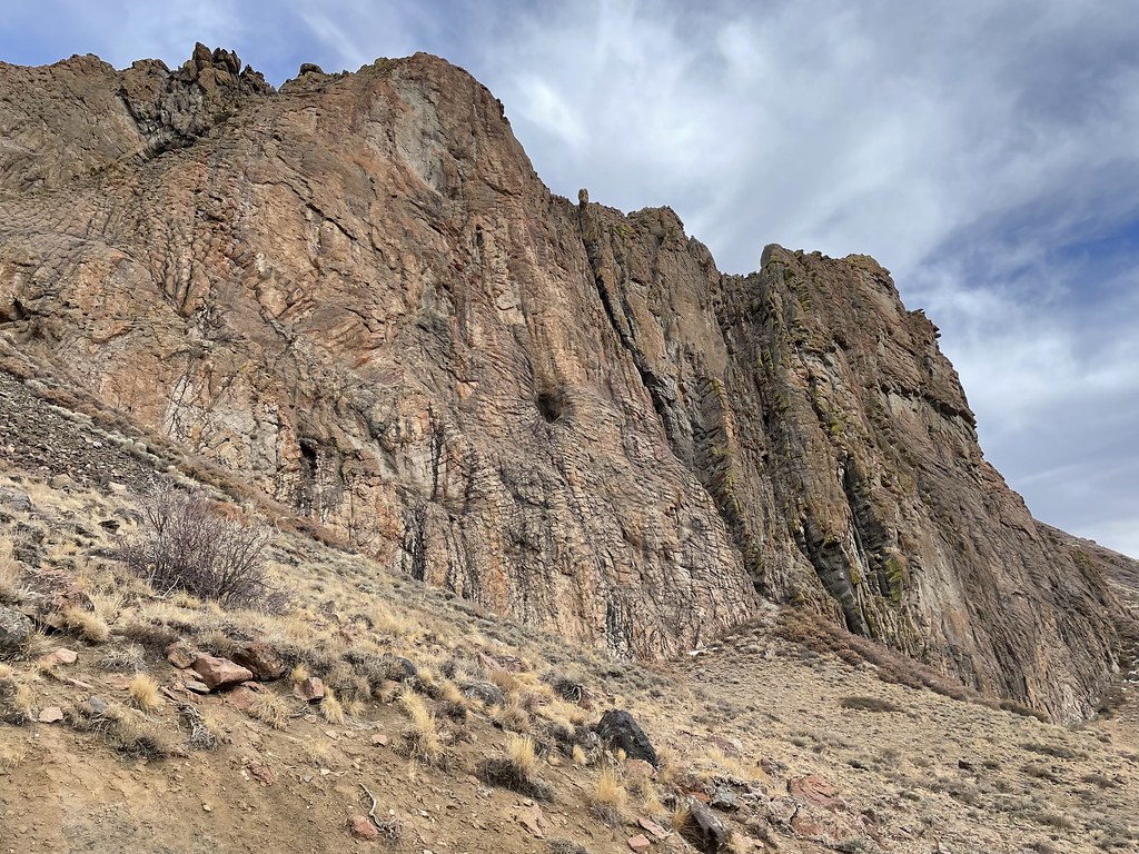 Slick RockHikingPhoto: Seth Tisue, CC BY-SA 2.0 (via Flickr)8.2 mi
- Slick Rock TrailHiking8.7 mi
 Paradise ValleyRock climbingPhoto: Seth Tisue, CC BY-SA 2.0 (via Flickr)8.8 mi
- ADV TRAILHiking9.5 mi
- Deep Creek to Box CanyonHiking9.8 mi
Source: Roamze catalog (indexable pages within 10 miles, PostGIS distance)
- Slick RockHiking · ~14 min drivePhoto: Seth Tisue, CC BY-SA 2.0 (via Flickr)
- Single Tree TrailHiking · ~11 min drive
- Slick Rock TrailHiking · ~15 min drive
- Wood Canyon Creek TrailHiking · ~34 min drive
- Deep Creek to Box CanyonHiking · ~17 min drive
- Summit TrailHiking · ~38 min drive
- Little Cottonwood CreekHiking · ~31 min drive
- Hanson CreekHiking · ~34 min drive
- Willow CreekHiking · ~25 min drive
- Lamance Creek TrailHiking · ~33 min drive

