Gibbon Falls
 Photo: Daniel Mayer, CC BY-SA 3.0 (via Wikimedia Commons)
- 7,078 ft
- elevation
- National Park Service
- managed by
- Jul–Aug
- best months
Is Gibbon Falls open right now?
Closure in the area
There's a closure order in Yellowstone National Park. It doesn't name Gibbon Falls, so check the source for the area it covers (2 listed).
Most Park Roads Closed to All Vehicles
Park closure covering Yellowstone National Park · NPS · Yellowstone National Park
Biscuit Basin Closed Due to Hydrothermal Explosion
Park closure covering Yellowstone National Park · NPS · Yellowstone National Park
As of · Source: NPS · Yellowstone National Park. Agencies don't list every closure — check before you go.
Gibbon Falls is a waterfall in Wyoming's Yellowstone National Park, managed by the National Park Service. It sits at about 7,078 feet, and the nearest town is West Yellowstone, Montana, about 16.5 miles away. Summer is the most comfortable time to visit. Typical averages from the nearby Old Faithful weather station show July highs around 76°F with lows near 39°F, and August is nearly as warm. Winters there are severe, with January highs in the upper 20s and lows near 1°F. Several trails lie close by. The Monument Geyser Basin Trail is about 2.2 miles away and the Artists Paintpots Trail about 3.2 miles. The Purple Mountain Trail is about 4.2 miles off, and the Gibbon River, a canoeing route, is about 5.8 miles away.
- Elevation
- 7,078 ft
- Land manager
- National Park Service
Elevation from USGS 3D Elevation Program terrain data (about 10 m resolution).
- Monument Geyser Basin TrailHiking2.2 mi
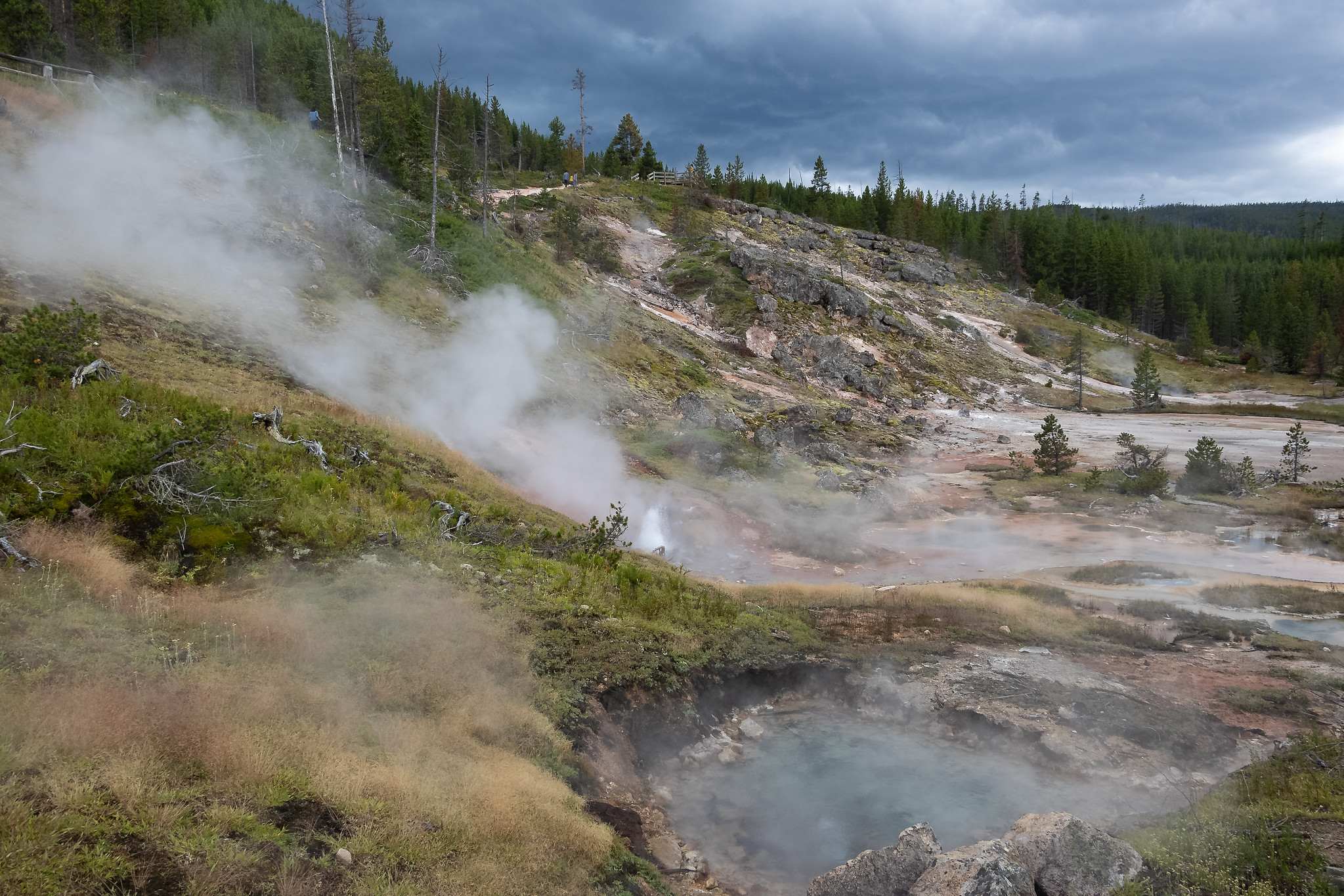 Artists Paintpots TrailHikingPhoto: NPS / public domain3.2 mi
- Purple Mountain TrailHiking4.2 mi
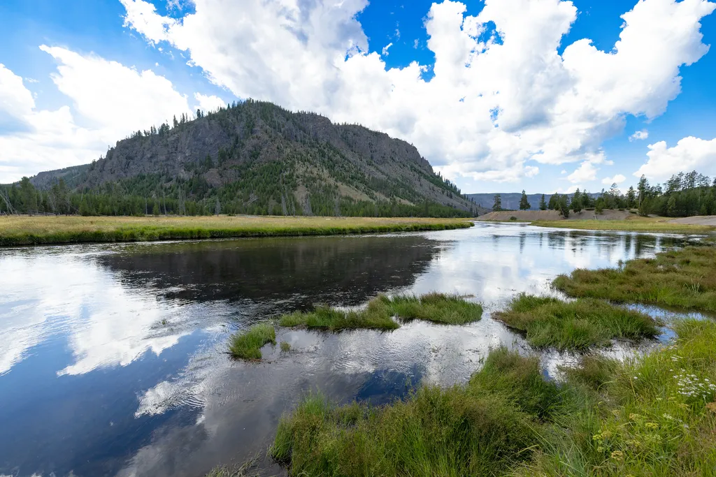 Madison JunctionHikingPhoto: NPS / public domain4.5 mi
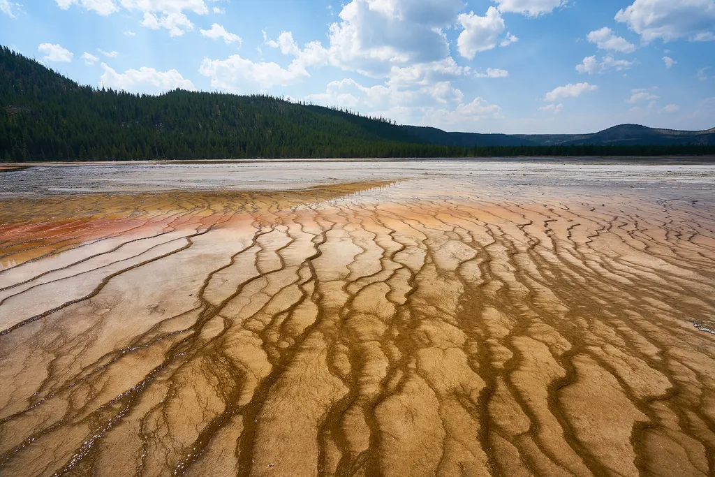 Firehole Canyon Swimming AreaHikingPhoto: Pedro Szekely from Los Angeles, USA — Wikimedia Commons (CC BY-SA 2.0)5.1 mi
 Back BasinHikingPhoto: NPS / public domain5.7 mi
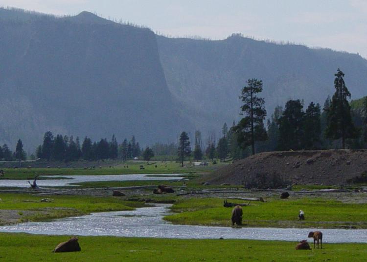 Gibbon RiverCanoeingPhoto: Daniel Mayer, CC BY-SA 3.0 (via Wikimedia Commons)5.8 mi
- Harlequin Lake TrailHiking5.8 mi
Source: Roamze catalog (indexable pages within 10 miles, PostGIS distance)
 Firehole FallsWaterfall · ~8 min drivePhoto: WikiBunny11, CC BY-SA 3.0 (via Wikimedia Commons)
 Cascades of the FireholeWaterfall · ~8 min drivePhoto: James St. John, CC BY 2.0 (via Wikimedia Commons)
 Virginia CascadeWaterfall · ~13 min drivePhoto: Rose Heil, Public domain (via Wikimedia Commons)
 Mystic FallsWaterfall · ~22 min drivePhoto: Rklawton, CC BY-SA 3.0 (via Wikimedia Commons)
 Lower Falls of the Yellowstone RiverWaterfall · ~24 min drivePhoto: Miguel Hermoso Cuesta, CC BY-SA 4.0 (via Wikimedia Commons)
 Kepler CascadesWaterfall · ~25 min drivePhoto: Miguel Hermoso Cuesta, CC BY-SA 4.0 (via Wikimedia Commons)
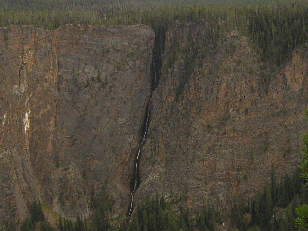 Silver Cord CascadeWaterfall · ~28 min drivePhoto: Alex1961, CC BY-SA 2.0 (via Wikimedia Commons)
 Rustic FallsWaterfall · ~33 min drivePhoto: James St. John, CC BY 2.0 (via Wikimedia Commons)
 Tower FallWaterfall · ~43 min drivePhoto: Daniel Mayer, CC BY-SA 3.0 (via Wikimedia Commons)
 Colonnade FallsWaterfall · ~51 min drivePhoto: Metrodyne, CC BY-SA 3.0 (via Wikimedia Commons)
Also worth it near here
- Artists Paintpots TrailHiking · ~6 min drive
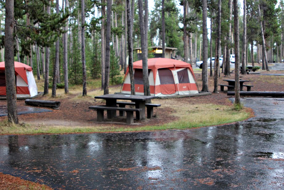 Madison CampgroundCamping · ~8 min drivePhoto: Yellowstone National Park from Yellowstone NP, USA, Public domain (via Wikimedia Commons)
 Purple MountainSummit · ~8 min drivePhoto: Mike Cline, Public domain (via Wikimedia Commons)
- Gibbon RiverCanoeing · ~10 min drivePhoto: Daniel Mayer, CC BY-SA 3.0 (via Wikimedia Commons)
Best time to visit Gibbon Falls
Best months: July–August. Best months have typical highs of 55–85 °F, lows of 30 °F or warmer (32 °F where the station doesn't record snow), at most one snowy day and no more than 12 wet days.
Jan
28° / 1°
14 wet
Feb
31° / 2°
12 wet
Mar
39° / 10°
13 wet
Apr
46° / 19°
12 wet
May
55° / 29°
13 wet
Jun
65° / 35°
13 wet
Jul
76° / 39°
10 wet
Aug
75° / 37°
9 wet
Sep
65° / 30°
9 wet
Oct
50° / 22°
10 wet
Nov
35° / 10°
12 wet
Dec
27° / 1°
15 wet
Typical high / low (°F) and days with rain or snow, 1991–2020. Measured at Old Faithful, WY, 14 mi away at 7,351 ft. This station doesn't record snowfall. Source: NOAA NCEI U.S. Climate Normals 1991–2020.
