Purple Mountain Trail
- 6.7 mi
- round trip
- 1,554 ft
- climb
- 8,440 ft
- high point
- Out and back
- route
- Jul–Aug
- best months
Clear today
Weather is good · OpenWeather · checked 4 h ago
Is Purple Mountain Trail open right now?
Closure in the area
There's a closure order in Yellowstone National Park. It doesn't name Purple Mountain Trail, so check the source for the area it covers (2 listed).
Most Park Roads Closed to All Vehicles
Park closure covering Yellowstone National Park · NPS · Yellowstone National Park
Biscuit Basin Closed Due to Hydrothermal Explosion
Park closure covering Yellowstone National Park · NPS · Yellowstone National Park
As of · Source: NPS · Yellowstone National Park. Agencies don't list every closure — check before you go.
Purple Mountain Trail is a 6.7-mile out-and-back hike in Yellowstone National Park in Wyoming, managed by the National Park Service. The trail gains about 1,550 feet, climbing from a low point of 6,851 feet to a high of 8,440 feet. It is a moderate route, and the trailhead is named Purple Mountain Trailhead. Summer is the most comfortable time to go. Typical averages from the nearby Old Faithful weather station show July highs around 76°F with lows near 39°F, and the station sits roughly 1,100 feet lower than the trail's high point, so temperatures on the summit run cooler. A fee is charged for the hike, and bikes are not allowed. Madison Junction is about 0.3 miles away, and Harlequin Lake Trail and Firehole Canyon Swimming Area are both within about 2 miles. Sentinel Meadows Trail is about 5.6 miles off.
Best time to go · Jul–Aug
Best time to visit Purple Mountain Trail
Best months: July–August. Best months have typical highs of 55–85 °F, lows of 30 °F or warmer (32 °F where the station doesn't record snow), at most one snowy day and no more than 12 wet days.
Jan
28° / 1°
14 wet
Feb
31° / 2°
12 wet
Mar
39° / 10°
13 wet
Apr
46° / 19°
12 wet
May
55° / 29°
13 wet
Jun
65° / 35°
13 wet
Jul
76° / 39°
10 wet
Aug
75° / 37°
9 wet
Sep
65° / 30°
9 wet
Oct
50° / 22°
10 wet
Nov
35° / 10°
12 wet
Dec
27° / 1°
15 wet
Typical high / low (°F) and days with rain or snow, 1991–2020. Measured at Old Faithful, WY, 13.1 mi away at 7,351 ft. The station sits about 1,100 ft lower than this place, so expect it a little cooler here. This station doesn't record snowfall. Source: NOAA NCEI U.S. Climate Normals 1991–2020.
Keep exploring — more trails worth the drive
HIKE
Madison Junction
Next door
At Madison Junction, the Gibbon River joins the Firehole River to form the Madison River. The Gibbon River flows from Grebe Lake through the Norris area to Madison Junction. The Firehole River starts south of Old Faithful and flows through the park’s major hydrothermal…
 Photo: R. Sieben, CC BY 3.0 (via Wikimedia Commons)
Imperial Meadows Trail
~10 min drive
Easy 1.6-mile out-and-back meadow hike in Wyoming.
 Photo: Николай Максимович, CC BY 3.0 (via Wikimedia Commons)
Fairy Falls Trail
~16 min drive
15.42-mile out-and-back hike in Wyoming with 407 ft elevation gain.
 Photo: Domenico Salvagnin from Legnaro, Italy, CC BY 2.0 (via Wikimedia Commons)
Fairy Creek Trail
~19 min drive
Moderate out-and-back creek hike through Wyoming forest and meadow.
Photo: Domenico Salvagnin from Legnaro, Italy, CC BY 2.0 (via Wikimedia Commons)Mystic Falls Trail
~19 min drive
Short out-and-back hike to a scenic waterfall in Wyoming.
HIKE
Firehole Canyon Swimming Area
~3 min drive
CLOSED FOR THE 2025 SEASON. The river is usually closed to swimming until mid-summer due to high water and strong currents. During years with significant snowpack and runoff, the swim area may remain closed for the entire season. Check our current conditions page for status.…
HIKE
Artists Paintpots Trail
~11 min drive
This is a one-mile (1.6 km) trail that enters a partially burned lodgepole pine forest, then winds across a wet meadow on a boardwalk. This trail is a short loop. The hydrothermal area has colorful hot springs, mudpots, and small geysers. Watch out for flying mud. Stay on th…
HIKE
Mary Mountain-Nez Perce Trail
~19 min drive
20-mile out-and-back trail through Mary Mountain-Nez Perce country with historical significance.
HIKE
Mount Holmes-Winter Creek Trail
~20 min drive
Out-and-back alpine trail to Mount Holmes via Winter Creek drainage.
HIKE
Monument Geyser Basin Trail
~10 min drive
Short out-and-back hike to geothermal features and basin views.
Also worth it near here
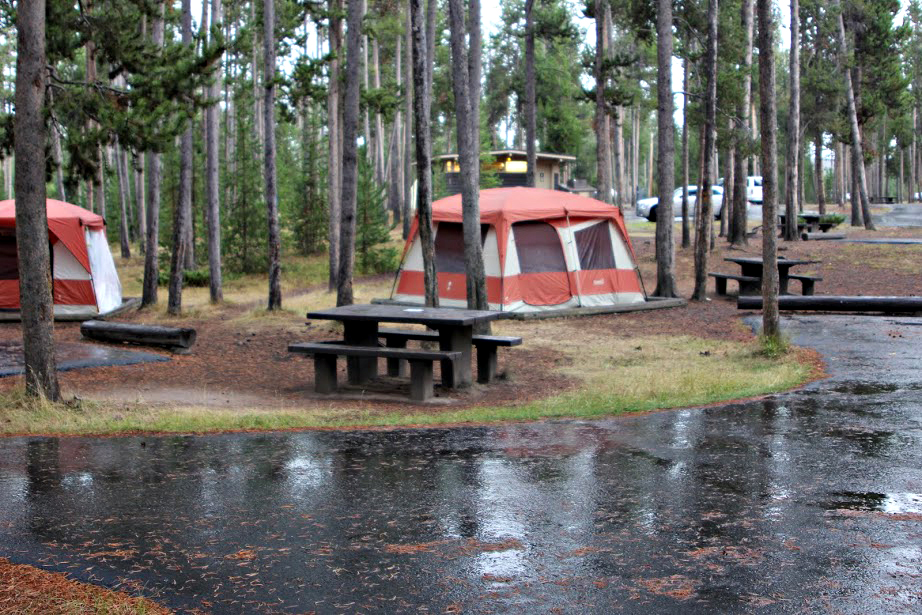 Photo: Yellowstone National Park from Yellowstone NP, USA, Public domain (via Wikimedia Commons)
Madison Campground
Next door
 Photo: Acroterion, CC BY-SA 4.0 (via Wikimedia Commons)
National Park Mountain
~2 min drive
 Photo: WikiBunny11, CC BY-SA 3.0 (via Wikimedia Commons)
Firehole Falls
~2 min drive
SEE
Harlequin Lake
~3 min drive
Map and trail data © OpenStreetMap contributors
