Artists Paintpots Trail
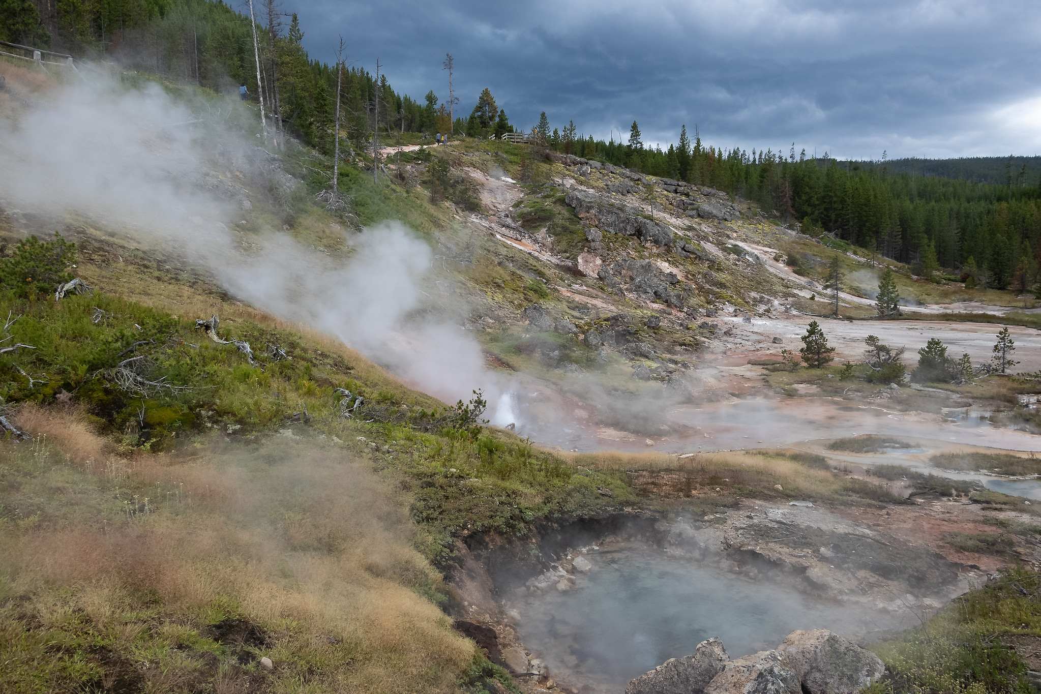 Photo: NPS / public domain
- 0.6 mi
- round trip
- 59 ft
- climb
- 7,383 ft
- high point
- Out and back
- route
- Jul–Aug
- best months
Is Artists Paintpots Trail open right now?
Closure in the area
There's a closure order in Yellowstone National Park. It doesn't name Artists Paintpots Trail, so check the source for the area it covers (2 listed).
Most Park Roads Closed to All Vehicles
Park closure covering Yellowstone National Park · NPS · Yellowstone National Park
Biscuit Basin Closed Due to Hydrothermal Explosion
Park closure covering Yellowstone National Park · NPS · Yellowstone National Park
As of · Source: NPS · Yellowstone National Park. Agencies don't list every closure — check before you go.
This is a one-mile (1.6 km) trail that enters a partially burned lodgepole pine forest, then winds across a wet meadow on a boardwalk. This trail is a short loop. The hydrothermal area has colorful hot springs, mudpots, and small geysers. Watch out for flying mud. Stay on the trail and boardwalks. Accessibility The trail is relatively flat from the parking lot to the hydrothermal features. The trail is over bare ground. There is a mixture of boardwalks and bare ground trails on the lower part of the loop. There are numerous steps and steep grades ascending the back part of the loop to reach the mudpots. Hydrothermal Features Hydrothermal features can be grouped into two general categories: those with a great deal of water (hot springs and geysers) and those with limited water (mudpots and fumaroles). This area is known for the mudpots, which put on quite an interesting show of splattering "mud" and a symphony of different sounds. Mudpots Mudpots are acidic features with a limited water supply. Some microorganisms use hydrogen sulfide, which rises from deep within the earth, as an energy source. They help convert the gas to sulfuric acid, which breaks down rock to wet clay mud and creates the area’s smell. The pungent odor of rotten eggs is caused by the hydrogen sulfide gas. Various gases escape through the wet clay mud, causing it to bubble. Mudpot consistency and activity vary with the seasons and precipitation. Use Caution in Hydrothermal Areas Stay on boardwalks and designated trails. Hydrothermal water can severely burn you. Never run, push, or shove. Supervise children at all times. Do not scratch hydrothermal mats. You are responsible for your safety. Think safety, act safely. Yellowstone is a dangerous place.
- Monument Geyser Basin TrailHiking1 mi
 Back BasinHikingPhoto: NPS / public domain2.5 mi
- Norris Geyser Basin TrailHiking2.8 mi
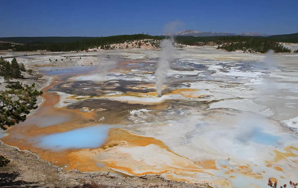 Fumaroles in Porcelain BasinHikingPhoto: NPS / public domain2.9 mi
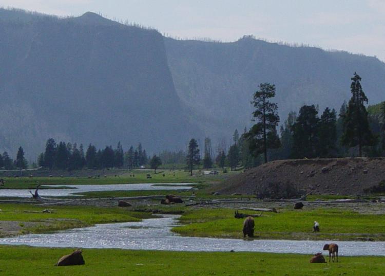 Gibbon RiverCanoeingPhoto: Daniel Mayer, CC BY-SA 3.0 (via Wikimedia Commons)3 mi
 Norris Geyser Basin - Norris Campground TrailHikingPhoto: R. Sieben, CC BY 3.0 (via Wikimedia Commons)3.5 mi
- Howard Eaton TrailHiking5.5 mi
 Ice Lake TrailHikingPhoto: aoiaio, CC BY 3.0 (via Wikimedia Commons)5.6 mi
Source: Roamze catalog (indexable pages within 10 miles, PostGIS distance)
- Back BasinHiking · ~4 min drive
- Norris Geyser Basin - Norris Campground TrailHiking · ~6 min drivePhoto: R. Sieben, CC BY 3.0 (via Wikimedia Commons)
 Howard Eaton Trail:Cascade Lake-Norris CampgroundHiking · ~12 min drivePhoto: Chris Light, CC BY-SA 4.0 (via Wikimedia Commons)
 Solfatara Creek TrailHiking · ~12 min drivePhoto: Greg Willis from Denver, CO, usa, CC BY-SA 2.0 (via Wikimedia Commons)
- Monument Geyser Basin TrailHiking · ~2 min drive
- Fumaroles in Porcelain BasinHiking · ~5 min drive
- Ice Lake TrailHiking · ~10 min drivePhoto: aoiaio, CC BY 3.0 (via Wikimedia Commons)
 Howard Eaton Trail: Fishing Bridge-CanyonHiking · ~20 min drivePhoto: R. Sieben, CC BY 3.0 (via Wikimedia Commons)
- Mount Holmes-Winter Creek TrailHiking · ~17 min drive
- Cygnet Lakes TrailHiking · ~14 min drive
Also worth it near here
- Gibbon RiverCanoeing · ~5 min drivePhoto: Daniel Mayer, CC BY-SA 3.0 (via Wikimedia Commons)
 Gibbon FallsWaterfall · ~6 min drivePhoto: Daniel Mayer, CC BY-SA 3.0 (via Wikimedia Commons)
- Lemonade LakeLake fishing · ~10 min drive
 Purple MountainSummit · ~12 min drivePhoto: Mike Cline, Public domain (via Wikimedia Commons)
Best time to visit Artists Paintpots Trail
Best months: July–August. Best months have typical highs of 55–85 °F, lows of 30 °F or warmer (32 °F where the station doesn't record snow), at most one snowy day and no more than 12 wet days.
Jan
28° / 1°
14 wet
Feb
31° / 2°
12 wet
Mar
39° / 10°
13 wet
Apr
46° / 19°
12 wet
May
55° / 29°
13 wet
Jun
65° / 35°
13 wet
Jul
76° / 39°
10 wet
Aug
75° / 37°
9 wet
Sep
65° / 30°
9 wet
Oct
50° / 22°
10 wet
Nov
35° / 10°
12 wet
Dec
27° / 1°
15 wet
Typical high / low (°F) and days with rain or snow, 1991–2020. Measured at Old Faithful, WY, 17.1 mi away at 7,351 ft. This station doesn't record snowfall. Source: NOAA NCEI U.S. Climate Normals 1991–2020.
