Loading…

Madison Junction
Free — you'll pick up right here.
Watch this trail
Sign up to watch it — saving subscribes you to gate, closure and report changes.
Wyoming
We won't guess. Here is exactly what we do and don't know.
What we do know
Inside Yellowstone National Park
National Park unit boundary is mapped — agency alerts for it feed this page automatically.
Boundary data
What's missing
No access route mapped
We don't yet know which road reaches this trailhead, so we can't tell you if it's gated.
Nobody's filed a report here yet — be the first.
Madison Junction
AI-suggested draft · review before you go
No elevation data on file for this trail.
At Madison Junction, the Gibbon River joins the Firehole River to form the Madison River. The Gibbon River flows from Grebe Lake through the Norris area to Madison Junction. The Firehole River starts south of Old Faithful and flows through the park’s major hydrothermal basins north to Madison Junction. The Madison joins the Jefferson and the Gallatin rivers at Three Forks, Montana, to form the Missouri River. The cliffs you see are the rim of the Yellowstone Caldera, plus lava flows. National Park Mountain is actually part of the lava flows. Some of these lava flows come down to the road through Firehole Canyon, approximately one mile south of Madison Junction. Gibbon Falls, four miles north of the junction, drops 84 feet (0.3 m) over a remnant of the caldera rim. Swimming in Yellowstone South of Madison Junction is the entrance to the Firehole Canyon Drive, a one-way route that follows the Firehole River. Along this route are views of the Firehole Falls and a swimming area where the water is influenced by thermal activity below the surface. Swimming is undertaken at your own risk. Please note that climbing the cliffs around the swimming area erodes the thin topsoil and damages area habitat. Jumping from the cliffs is very dangerous and is forbidden. Seven Mile Bridge Seven Mile Bridge is located midway between (and seven miles from both) the West Entrance and Madison Junction. This landmark serves as a convenient reference point and separates the rugged lava-lined Madison Canyon east of the bridge from gentle hills to the west. National Park Mountain The legend, which you can read about at the Madison Information Station, tells of explorers camping here in 1870 and deciding Yellowstone should be set aside as a national park. It is a wonderful story, but it isn’t true. Explorers did camp at the junction in 1870, but they apparently did not discuss the national park idea. They camped in a location where people have camped for centuries. Archeologists have found campfire remnants, obsidian flakes, and bone fragments dating back at least 10,000 years. Think Safety, Act Safely From burning hot hydrothermal features, to unpredictable wildlife, to steep terrain, Yellowstone is a dangerous place. You are responsible for your safety. As such, please remember these safety tips: Never touch any hydrothermal waters—they can scald you. Observe safe distances from all wildlife. Stay behind fencing, guard rails, and ledges. Use caution when around park waters—they are cold and fast. Show patience and courtesy to other people.

Purple Mountain Trail
~1 min drive
6.7 mi · Moderate

Harlequin Lake Trail
~2 min drive
1.0 mi · Easy
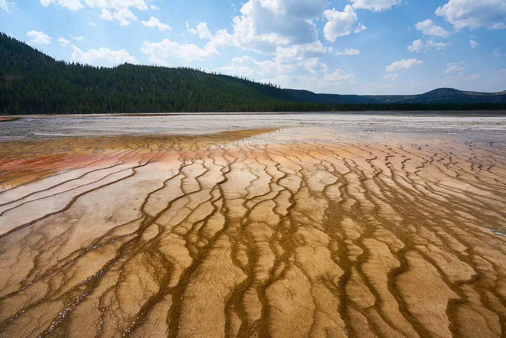
Firehole Canyon Swimming Area
~3 min drive
<p><span style="color:#c03b2b;"><strong>CLOSED FOR THE 2025 SEASON.</strong></span><br /> <br /> The river is usually closed to swimming until mid-summer due to high water and strong currents. During years with significant snowpack and runoff, the swim area may remain closed f…

Fairy Falls Trail
~15 min drive
15 mi · Hard
Boundary Trail (Xc)
~20 min drive
Moderate 4.58-mile cross-country backcountry route through Montana wilderness.
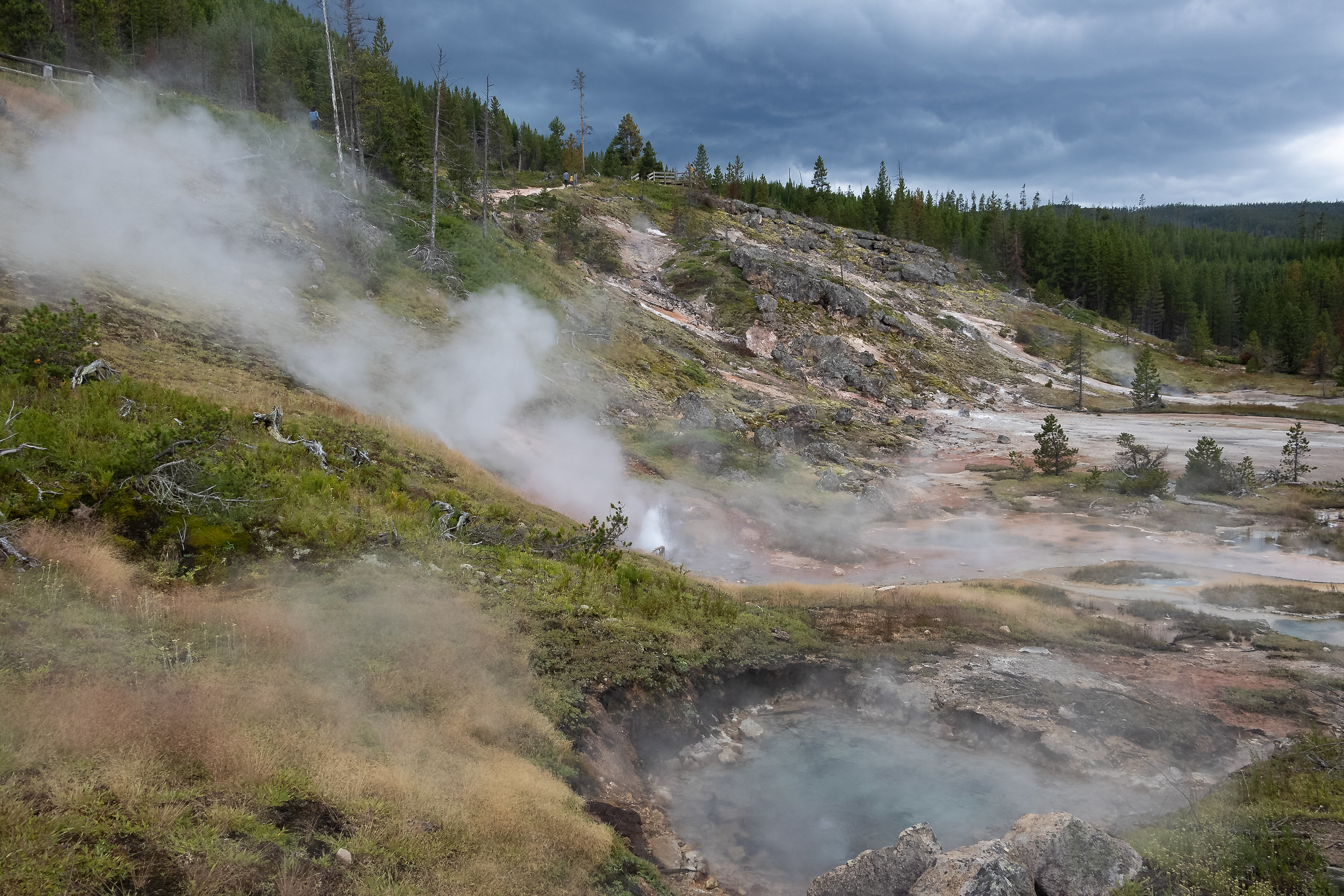
Artists Paintpots Trail
~12 min drive
This is a one-mile (1.6 km) trail that enters a partially burned lodgepole pine forest, then winds across a wet meadow on a boardwalk. This trail is a short loop. The hydrothermal area has colorful hot springs, mudpots, and small geysers. Watch out for flying mud. Stay on th…
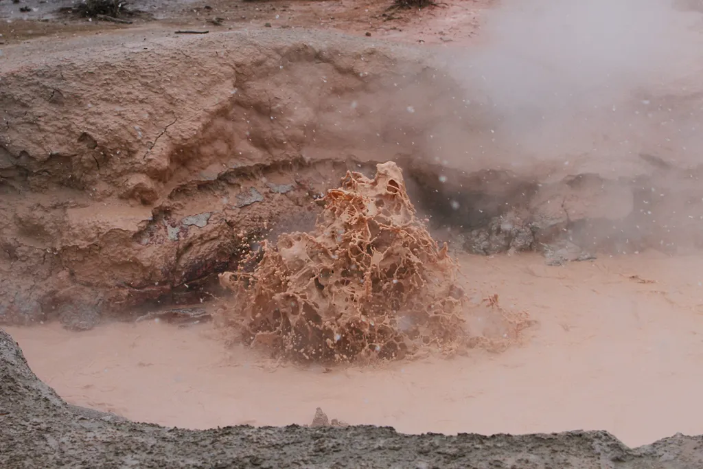
Red Spouter
~12 min drive
<p>Red Spouter formed as a direct result of the 1959 Hebgen Lake Earthquake. A vent opened up in this spot, which then turned into a mudpot. This hydrothermal feature does change seasonally, depending on the height of the water table beneath the surface. When the water table i…

Howard Eaton Trail
~21 min drive
22 mi · Hard
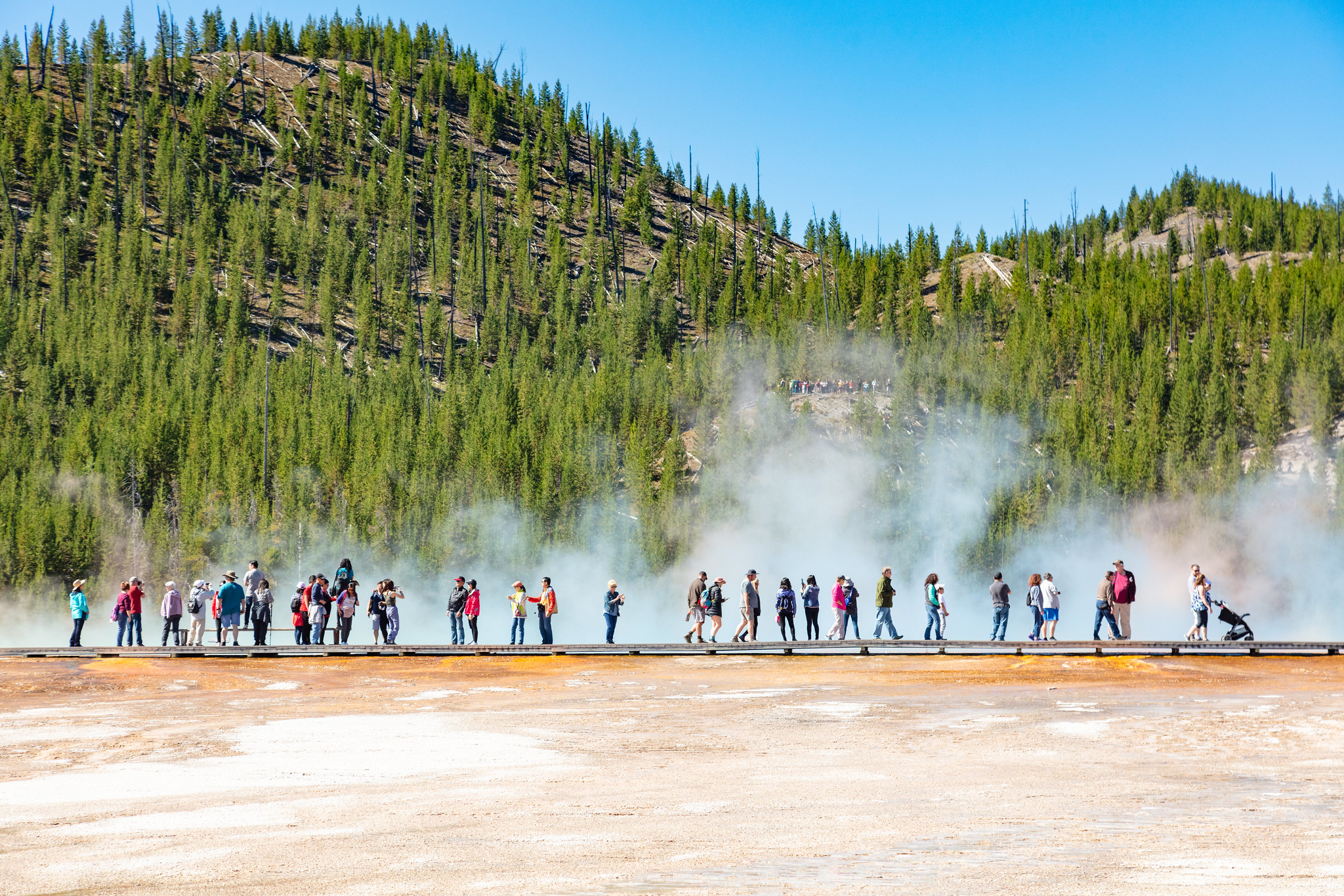
Midway Geyser Basin Trailhead
~14 min drive
Midway Geyser Basin is small but spectacular. Excelsior Geyser is a 200 x 300 foot crater that constantly discharges more than 4,000 gallons of water per minute into the Firehole River. Grand Prismatic Spring, Yellowstone’s largest hot spring, is 200–330 feet in diameter and…
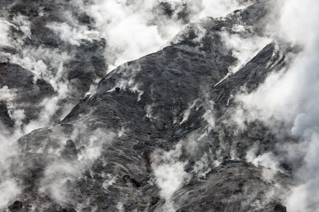
Fumaroles
~12 min drive
<p>The hiss and roar of a fumarole comes from gases—steam, carbon dioxide, and a little hydrogen sulfide—rushing from the ground through the vent. Its plumbing reaches down into the hot rock masses, but contains very little water. When water contacts the hot rock, it flashes i…