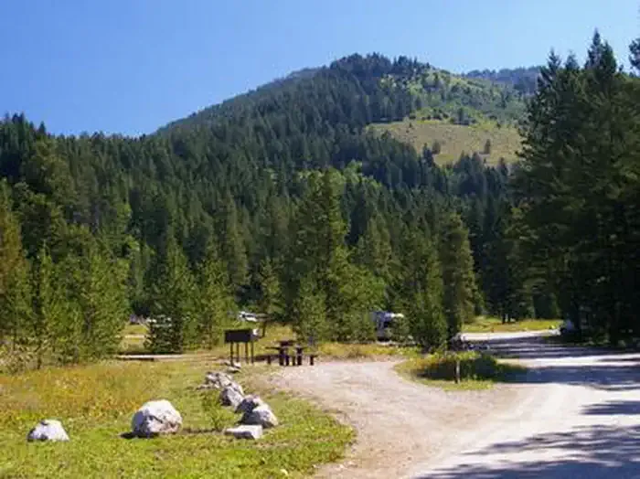
South Fork
Campground
Campground · 0.8 mi from the trail
 Photo: Acroterion, CC BY-SA 4.0 (via Wikimedia Commons)
Alert in the area
The National Park Service lists 2 alerts for Grand Teton National Park.
Construction in the South End of the Park
Park alert covering Grand Teton National Park · NPS · Grand Teton National Park
Construction on HWY 26/89/191
Park alert covering Grand Teton National Park · NPS · Grand Teton National Park
As of · Source: NPS · Grand Teton National Park. Agencies don't list every closure — check before you go.
South Teton is a summit of about 12,504 feet in Teton County, Wyoming, inside Grand Teton National Park, which the National Park Service manages. The nearest town is Teton Village, about 9 miles away. The Avalanche Divide Trail and the Avalanche Canyon climbing area both lie about 0.8 miles from the summit. The South Fork Cascade Canyon Trail is about 1.3 miles away, and Teton Canyon campground is about 5.7 miles off.
South Fork
Campground
Places © OpenStreetMap contributors
More in JacksonDaily highs and lows, wind and the chance of precipitation at the summit for the next 7 days, from the Open-Meteo model.
Elevation from USGS 3D Elevation Program terrain data (about 10 m resolution).
We don't know of a mapped trail or route to the summit of South Teton. Plan the approach with local maps, a guidebook or a local guide, and check conditions before you go.
12,504 ft (3,811 m).
We don't know of a mapped trail or route to the summit. Plan the approach with local maps, a guidebook or a local guide.


 Avalanche CanyonRock climbingPhoto: Eugene Crosser, CC BY 3.0 (via Wikimedia Commons)0.8 mi
 Avalanche Divide TrailHikingPhoto: Public domain (via Wikimedia Commons)0.8 miSouth Fork Cascade Canyon TrailHikingPhoto: Public domain (via Wikimedia Commons)1.3 mi
 Teton CanyonCampingPhoto: Recreation.gov (RIDB) / public domain5.7 mi
Source: Roamze catalog (indexable pages within 10 miles, PostGIS distance)
 Middle TetonSummit · ~1 min drivePhoto: Acroterion, CC BY-SA 4.0 (via Wikimedia Commons)
 Nez PerceSummit · ~2 min drivePhoto: Acroterion, CC BY-SA 4.0 (via Wikimedia Commons)
 Mount WisterSummit · ~2 min drivePhoto: Acroterion, CC BY-SA 4.0 (via Wikimedia Commons)
 Disappointment PeakSummit · ~3 min drivePhoto: Acroterion, CC BY-SA 4.0 (via Wikimedia Commons)Grand TetonSummit · ~3 min drivePhoto: NPS, Public domain (via Wikimedia Commons)
 Buck MountainSummit · ~3 min drivePhoto: Acroterion, CC BY-SA 4.0 (via Wikimedia Commons)
 Mount OwenSummit · ~4 min drivePhoto: Acroterion, CC BY-SA 4.0 (via Wikimedia Commons)
 Static PeakSummit · ~4 min drivePhoto: Acroterion, CC BY-SA 4.0 (via Wikimedia Commons)Table MountainSummit · ~4 min drivePhoto: Mike Weston from La Honda, CA, CC BY 2.0 (via Wikimedia Commons)
 Teewinot MountainSummit · ~5 min drivePhoto: Acroterion, CC BY-SA 4.0 (via Wikimedia Commons)
Also worth it near here
Avalanche CanyonRock climbing · ~1 min drivePhoto: Eugene Crosser, CC BY 3.0 (via Wikimedia Commons)Avalanche Divide TrailHiking · ~1 min drivePhoto: Public domain (via Wikimedia Commons) Shoshoko FallsWaterfall · ~2 min drivePhoto: National Park Service, CC BY-SA 4.0 (via Wikimedia Commons)
