Caves
Campground
Campground · 0.2 mi from the trail
Alert in the area
The National Park Service lists 2 alerts for Grand Teton National Park.
Construction in the South End of the Park
Park alert covering Grand Teton National Park · NPS · Grand Teton National Park
Construction on HWY 26/89/191
Park alert covering Grand Teton National Park · NPS · Grand Teton National Park
As of · Source: NPS · Grand Teton National Park. Agencies don't list every closure — check before you go.
Lower Saddle Trail is a hard out-and-back hike in Grand Teton National Park in Wyoming, managed by the National Park Service. The trail is 3.4 miles long, and the round trip climbs about 3,350 feet, with the steepest stretch at roughly 0.6 miles in, where the grade reaches 55 percent. The route starts at 9,207 feet and reaches a high point of 11,626 feet. The climb is front-loaded, so the hardest part comes early. Plan for about three hours on the trail, and expect the most significant elevation gain in the first half of the route. The Watchtower and Disappointment Peak climbing areas sit just a tenth of a mile and a fifth of a mile away, and the South-Middle Saddle Trail is about 0.4 miles off. For an overnight stay, Teton Canyon campground is about 6.4 miles away.
Caves
Campground
Places © OpenStreetMap contributors
More in JacksonNot on Roamze yet. Their page has how to reach them.
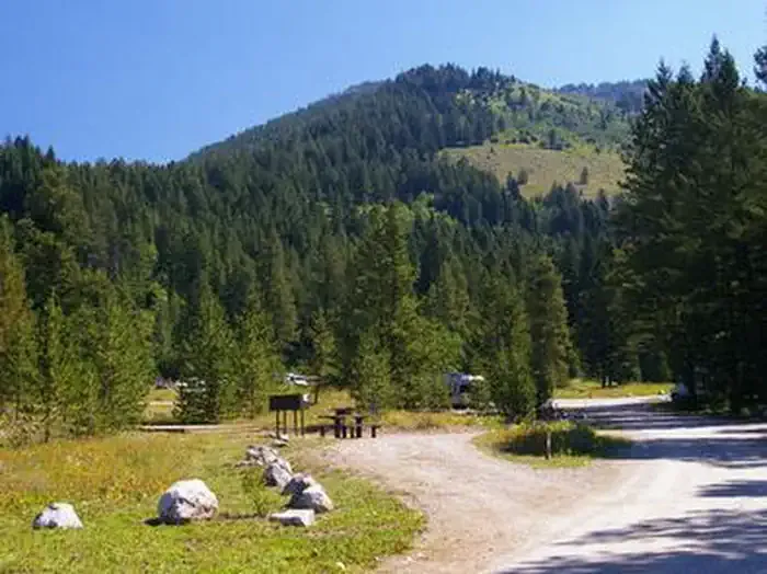 Teton CanyonCampingPhoto: Recreation.gov (RIDB) / public domain6.4 mi
Source: Roamze catalog (indexable pages within 10 miles, PostGIS distance)
 South Fork Cascade Canyon TrailHiking · ~4 min drivePhoto: Public domain (via Wikimedia Commons)Avalanche Divide TrailHiking · ~4 min drivePhoto: Public domain (via Wikimedia Commons)Hurricane Pass TrailHiking · ~5 min drivePhoto: Public domain (via Wikimedia Commons)
Also worth it near here
 Disappointment PeakSummit · Next doorPhoto: Acroterion, CC BY-SA 4.0 (via Wikimedia Commons)
 Garnet Canyon Rock Climbs-Not Disappointment PeakRock climbing · Next doorPhoto: Patrick Hendry worldsbetweenlines, CC0 (via Wikimedia Commons)
 Shoshoko FallsWaterfall · ~3 min drivePhoto: National Park Service, CC BY-SA 4.0 (via Wikimedia Commons)
Map and trail data © OpenStreetMap contributors
