
Mount Wister
About
Mount Wister is a summit of about 11,472 feet in Teton County, Wyoming, inside Grand Teton National Park, which the National Park Service manages. The nearest town is Teton Village, about 8 miles away. Avalanche Canyon, a climbing area, sits about half a mile away, and the Alaska Basin Trail and Avalanche Divide Trail are both within about a mile and a half. For an overnight base, Teton Canyon campground is roughly 6 miles off.
Summit Facts
Summit elevation
11,472 ft
Land manager
National Park Service
Elevation from USGS 3D Elevation Program terrain data (about 10 m resolution).
Location
Mount Wister
Wyoming
Name and location: U.S. Geological Survey, Geographic Names Information System (GNIS). Elevation: USGS 3D Elevation Program. View the GNIS record.
Facts about this place
Where it is
- Grand Teton National Park · National Park Service
- Nearest town
- Teton Village, Wyoming · 7.8 mi
- Managed by
- National Park Service
Source: NPS Land Resources boundaries; USGS PAD-US 4.1; USGS GNIS populated places
Conditions
Active alerts for Grand Teton National Park as of Oct 9, 2026:
Construction in the South End of the Park
Caution · posted Sep 30, 2026
Construction on HWY 26/89/191
Caution · posted Sep 30, 2026
Death Canyon Trailhead Construction Closure
Park Closure · posted Aug 24, 2026
Source: NPS Alerts API
Nearby
 Avalanche CanyonRock climbingPhoto: Eugene Crosser, CC BY 3.0 (via Wikimedia Commons)0.5 mi
- Alaska Basin TrailHiking1.2 mi
 Avalanche Divide TrailHikingPhoto: Public domain (via Wikimedia Commons)1.4 mi
- Alaska Basin Shelf TrailHiking2 mi
- Middle TetonRock climbing2 mi
- Garnet Canyon MeadowsRock climbing2 mi
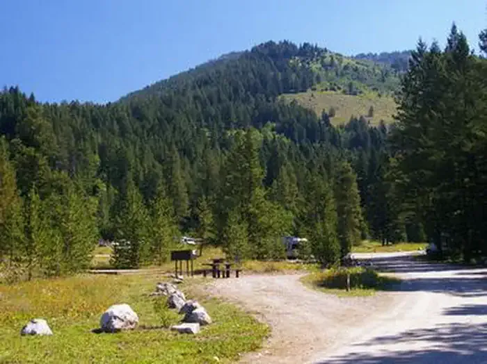 Teton CanyonCampingPhoto: Recreation.gov (RIDB) / public domain6.4 mi
- Reunion FlatCamping7.8 mi
Source: Roamze catalog (indexable pages within 10 miles, PostGIS distance)
Is Mount Wister open right now?
Closure in the area
There's a closure order in Grand Teton National Park. It doesn't name Mount Wister, so check the source for the area it covers.
Death Canyon Trailhead Construction Closure
Park closure covering Grand Teton National Park · NPS · Grand Teton National Park
Construction in the South End of the Park
Park alert covering Grand Teton National Park · NPS · Grand Teton National Park
Construction on HWY 26/89/191
Park alert covering Grand Teton National Park · NPS · Grand Teton National Park
As of · Source: NPS · Grand Teton National Park. Agencies don't list every closure — check before you go.
