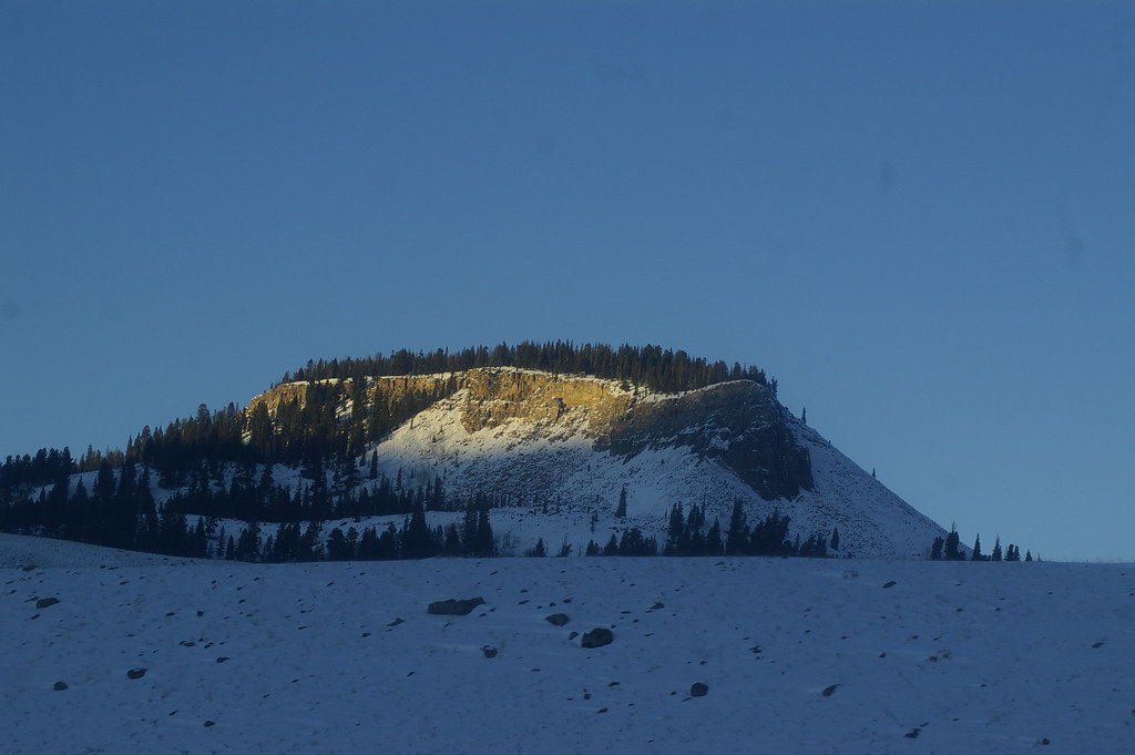
Big Horn Peak
- 9,896 ft
- summit
- 2
- ways up
Is Big Horn Peak open right now?
Closure in the area
There's a closure order in Yellowstone National Park. It doesn't name Big Horn Peak, so check the source for the area it covers (2 listed).
Most Park Roads Closed to All Vehicles
Park closure covering Yellowstone National Park · NPS · Yellowstone National Park
Biscuit Basin Closed Due to Hydrothermal Explosion
Park closure covering Yellowstone National Park · NPS · Yellowstone National Park
As of · Source: NPS · Yellowstone National Park. Agencies don't list every closure — check before you go.
Big Horn Peak is a summit of 9,896 feet in Yellowstone National Park in Montana, about 13 miles from the town of Corwin Springs. The closest trail is Black Butte Trail, about 1.3 miles away, with Sky Rim Trail and Daly Creek Trail both within about 3 miles. For an overnight base, Tom Miner Campground sits about 4.4 miles off.
Conditions and forecast
Daily highs and lows, wind and the chance of precipitation at the summit and route start for the next 7 days, from the Open-Meteo model.
- Summit elevation
- 9,896 ft
Elevation from USGS 3D Elevation Program terrain data (about 10 m resolution).
- Black Butte TrailExpertabout 6,438 ft of climbing5.9 mi round trip
- Sky Rim TrailExpertabout 7,871 ft of climbing10.3 mi round trip
Compare the routes Black Butte Trail Sky Rim Trail Climbing About 6,438 ft About 7,871 ft Round trip 5.9 mi 10.3 mi Difficulty Expert Expert Terrain Hike Hike Map © Mapbox © OpenStreetMap contributors Questions about Big Horn Peak
How tall is Big Horn Peak?
9,896 ft (3,016 m).
How many routes go to the summit of Big Horn Peak?
2: Black Butte Trail and Sky Rim Trail.
What is the shortest route up Big Horn Peak?
Black Butte Trail, about 5.9 mi round trip.
- Sheep Mountain10,095 ft · Montana1 route3.5 mi away
- Ramshorn Peak10,297 ft · Montana1 route6.4 mi away
- Marble Point8,049 ft · Montana1 route8.8 mi away
- Cinnamon Mountain9,238 ft · Montana1 route11 mi away
 Sepulcher Mountain9,652 ft · Wyoming1 route15 mi awayPhoto: Mike Cline, Public domain (via Wikimedia Commons)
- The Sentinel9,949 ft · Montana1 route16 mi away
- Black Butte TrailHiking1.3 mi
- Sky Rim TrailHiking2.9 mi
- Daly Creek Spur TrailHiking3.1 mi
- Daly Creek TrailHiking3.2 mi
- Black Butte-Daly Creek Cutoff TrailHiking3.2 mi
- SunlightMountain biking3.8 mi
- Tom Miner CampgroundCamping4.4 mi
- Big Sky GritRock climbing6.5 mi
Source: Roamze catalog (indexable pages within 10 miles, PostGIS distance)
 Electric PeakSummit · ~20 min drivePhoto: Yellowstone National Park from Yellowstone NP, USA, Public domain (via Wikimedia Commons)
 Gray PeakSummit · ~21 min drivePhoto: Bryan Harry, Public domain (via Wikimedia Commons)
 Bannock PeakSummit · ~26 min drivePhoto: Chris M Morris, CC BY 2.0 (via Wikimedia Commons)
- Sepulcher MountainSummit · ~26 min drivePhoto: Mike Cline, Public domain (via Wikimedia Commons)
 Clagett ButteSummit · ~30 min drivePhoto: Bernt Rostad, CC BY 2.0 (via Wikimedia Commons)
 Antler PeakSummit · ~30 min drivePhoto: J Schmidt, Public domain (via Wikimedia Commons)
 Terrace MountainSummit · ~30 min drivePhoto: R. G. Johnsson, Public domain (via Wikimedia Commons)
 Echo PeakSummit · ~30 min drivePhoto: J. P. Iddings, Public domain (via Wikimedia Commons)
 Bunsen PeakSummit · ~33 min drivePhoto: Mike, Public domain (via Wikimedia Commons)
 White PeaksSummit · ~34 min drivePhoto: Mike Cline, Public domain (via Wikimedia Commons)
Also worth it near here
- Specimen CreekCamping · ~3 min drive
- Shelf LakeLake fishing · ~5 min drive
 Black Butte Trailhead (WK2)Hiking · ~6 min drivePhoto: hesyifei, CC BY-SA 2.0 (via Flickr)
 Buffalo Horn PassMountain biking · ~8 min drivePhoto: Greg Willis from Denver, CO, usa, CC BY-SA 2.0 (via Wikimedia Commons)
- Big Sky GritRock climbing · ~11 min drive
