Buckskin Knoll
- 9,014 ft
- summit
Is Buckskin Knoll open right now?
No closures listed
The Forest Service lists no closures for Bridger-Teton National Forest.
As of · Source: USFS · Bridger-Teton National Forest. Agencies don't list every closure — check before you go.
Buckskin Knoll is a summit in the Kemmerer Ranger District of Bridger-Teton National Forest in western Wyoming, about 11 miles from the town of Smoot. Several trails sit close by, including Wagner MT - Poker Hollow Trail about 1.6 miles away and Poker-Creek-Cutoff Trail at roughly 2.3 miles. For an overnight base, La Barge Guard Station lies about 4 miles off, and Lake Alice Campground is about 6 miles away.
Conditions and forecast
Daily highs and lows, wind and the chance of precipitation at the summit for the next 7 days, from the Open-Meteo model.
- Summit elevation
- 9,014 ft
Elevation from USGS 3D Elevation Program terrain data (about 10 m resolution).
We don't know of a mapped trail or route to the summit of Buckskin Knoll. Plan the approach with local maps, a guidebook or a local guide, and check conditions before you go.
Questions about Buckskin Knoll
How tall is Buckskin Knoll?
9,014 ft (2,747 m).
Is there a trail to the top of Buckskin Knoll?
We don't know of a mapped trail or route to the summit. Plan the approach with local maps, a guidebook or a local guide.
- Lake Mountain9,401 ft · Wyoming1 route7.0 mi away
 Wyoming Peak11,380 ft · Wyoming2 routes11 mi awayPhoto: Cwicks, CC BY-SA 3.0 (via Wikimedia Commons)
- Cabin Creek Peak10,249 ft · Wyoming1 route26 mi away
- Mount McDougal10,782 ft · Wyoming1 route27 mi away
- Prospect Peak9,656 ft · Wyoming1 route32 mi away
- Sulphur Peak8,305 ft · Idaho1 route35 mi away
- Wagner MT - Poker Hollow TrailHiking1.6 mi
- Wagner Mt - Poker HollowHiking2.3 mi
- Poker-Creek-Cutoff TrailHiking2.3 mi
- North Smiths ForkHiking3.4 mi
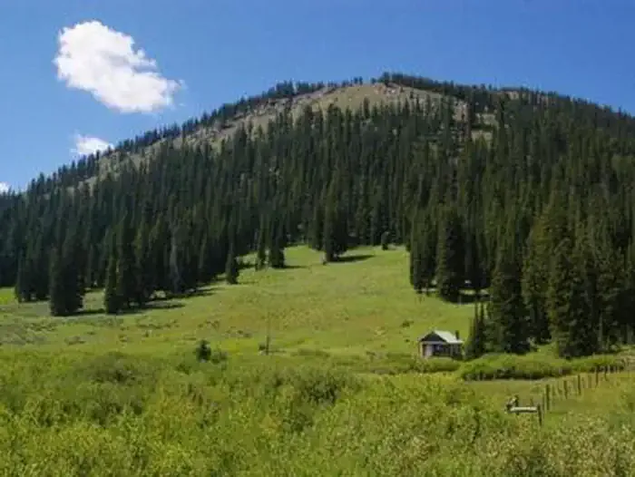 La Barge Guard StationCampingPhoto: Recreation.gov (RIDB) / public domain4.1 mi
- Lake Alice CampgroundCamping6.1 mi
- Hobble Creek CampgroundCamping6.5 mi
- Smiths ForkCanoeing7.6 mi
Source: Roamze catalog (indexable pages within 10 miles, PostGIS distance)
- Wyoming PeakSummit · ~19 min drivePhoto: Cwicks, CC BY-SA 3.0 (via Wikimedia Commons)
 Lander PeakSummit · ~40 min drivePhoto: James Smillie / After Albert Bierstadt, Public domain (via Wikimedia Commons)
 Big HillSummit · ~50 min drivePhoto: LikeGrantTookRichmond, CC BY-SA 3.0 (via Wikimedia Commons)
 Virginia PeakSummit · ~52 min drivePhoto: Bridger Teton NF, Public domain (via Wikimedia Commons)
 Caribou MountainSummit · ~1h 25m drivePhoto: Intermountain Forest Service, USDA Region 4 Photography, Public domain (via Wikimedia Commons)
- Lake MountainSummit · ~12 min drive
- Cabin Creek PeakSummit · ~44 min drive
- Mount McDougalSummit · ~46 min drive
- Sulphur PeakSummit · ~1h drive
- Midnight MountainSummit · ~1h 15m drive
