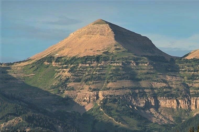
Lander Peak
 Photo: James Smillie / After Albert Bierstadt, Public domain (via Wikimedia Commons)
- 10,455 ft
- summit
- Forest Service
- managed by
Is Lander Peak open right now?
No closures listed
The Forest Service lists no closures for Bridger-Teton National Forest.
As of · Source: USFS · Bridger-Teton National Forest. Agencies don't list every closure — check before you go.
Lander Peak is a summit of about 10,455 feet in Sublette County, Wyoming, on the Big Piney Ranger District of the Bridger-Teton National Forest. The nearest town is Turnerville, about 19 miles away, and the Forest Service manages the surrounding land. Several hikes start close by, including South Fork South Cottonwood, Eagle Creek and Old Indian, all within about 3 miles. For an overnight base, Forest Park Campground sits about 8 miles away.
Conditions and forecast
Daily highs and lows, wind and the chance of precipitation at the summit for the next 7 days, from the Open-Meteo model.
- Summit elevation
- 10,455 ft
- Land manager
- Forest Service
Elevation from USGS 3D Elevation Program terrain data (about 10 m resolution).
We don't know of a mapped trail or route to the summit of Lander Peak. Plan the approach with local maps, a guidebook or a local guide, and check conditions before you go.
Questions about Lander Peak
How tall is Lander Peak?
10,455 ft (3,187 m).
Is there a trail to the top of Lander Peak?
We don't know of a mapped trail or route to the summit. Plan the approach with local maps, a guidebook or a local guide.
- Mount McDougal10,782 ft · Wyoming1 route5.6 mi away
- Prospect Peak9,656 ft · Wyoming1 route8.9 mi away
 Wyoming Peak11,380 ft · Wyoming2 routes13 mi awayPhoto: Cwicks, CC BY-SA 3.0 (via Wikimedia Commons)
- Cabin Creek Peak10,249 ft · Wyoming1 route13 mi away
- Lake Mountain9,401 ft · Wyoming1 route29 mi away
- Elk Mountain8,513 ft · Wyoming1 route30 mi away
- South Fork South CottonwoodHiking2.6 mi
- Eagle CreekHiking2.7 mi
- Old IndianHiking2.8 mi
- South CottonwoodHiking3 mi
- Maki CreekHiking4.6 mi
- Forest Park CampgroundCamping8.1 mi
- South Cottonwood CreekCanoeing8.7 mi
- Cazier CabinCamping9.7 mi
Source: Roamze catalog (indexable pages within 10 miles, PostGIS distance)
- Wyoming PeakSummit · ~22 min drivePhoto: Cwicks, CC BY-SA 3.0 (via Wikimedia Commons)
 Virginia PeakSummit · ~27 min drivePhoto: Bridger Teton NF, Public domain (via Wikimedia Commons)
 Hodges PeakSummit · ~1h 8m drivePhoto: Intermountain Forest Service, USDA Region 4 Photography, Public domain (via Wikimedia Commons)
 Caribou MountainSummit · ~1h 16m drivePhoto: Intermountain Forest Service, USDA Region 4 Photography, Public domain (via Wikimedia Commons)
- Mount McDougalSummit · ~10 min drive
- Cabin Creek PeakSummit · ~23 min drive
- Lake MountainSummit · ~49 min drive
- Elk MountainSummit · ~51 min drive
- Bald MountainSummit · ~1h 7m drive
- Observation PeakSummit · ~1h 9m drive
