Barlow Peak
 Photo: J. D. Love, Public domain (via Wikimedia Commons)
- 9,638 ft
- summit
- National Park Service
- managed by
Is Barlow Peak open right now?
Closure in the area
There's a closure order in Yellowstone National Park. It doesn't name Barlow Peak, so check the source for the area it covers (2 listed).
Most Park Roads Closed to All Vehicles
Park closure covering Yellowstone National Park · NPS · Yellowstone National Park
Biscuit Basin Closed Due to Hydrothermal Explosion
Park closure covering Yellowstone National Park · NPS · Yellowstone National Park
As of · Source: NPS · Yellowstone National Park. Agencies don't list every closure — check before you go.
Barlow Peak is a summit of about 9,638 feet in Teton County, Wyoming, inside Yellowstone National Park, which the National Park Service manages. The nearest town is West Thumb, about 19 miles away. The closest trail is Fox Creek Trail, about 1.4 miles away. South Boundary Trail: Harebell-Fox Creek Trail lies about 3.7 miles off, and the Heart River offers canoeing about 5.3 miles away.
Conditions and forecast
Daily highs and lows, wind and the chance of precipitation at the summit for the next 7 days, from the Open-Meteo model.
- Summit elevation
- 9,638 ft
- Land manager
- National Park Service
Elevation from USGS 3D Elevation Program terrain data (about 10 m resolution).
We don't know of a mapped trail or route to the summit of Barlow Peak. Plan the approach with local maps, a guidebook or a local guide, and check conditions before you go.
Questions about Barlow Peak
How tall is Barlow Peak?
9,638 ft (2,938 m).
Is there a trail to the top of Barlow Peak?
We don't know of a mapped trail or route to the summit. Plan the approach with local maps, a guidebook or a local guide.
 Mount Sheridan10,304 ft · Wyoming1 route9.5 mi awayPhoto: R. Lake, Public domain (via Wikimedia Commons)
- Gravel Peak9,693 ft · Wyoming1 route11 mi away
- Wildcat Peak9,695 ft · Wyoming2 routes13 mi away
- Grand View Point7,588 ft · Wyoming1 route21 mi away
 Lunch Tree Hill6,958 ft · Wyoming2 routes23 mi awayPhoto: Miguel Hermoso Cuesta, CC BY-SA 4.0 (via Wikimedia Commons)
- Avalanche Peak10,569 ft · Wyoming1 route24 mi away
- Fox Creek TrailHiking1.4 mi
- South Boundary Trail: Harebell-Fox Creek TrailHiking3.7 mi
- Fox-Snake Connector TrailHiking4.4 mi
- South Boundary Trail: Lynx CreekHiking4.7 mi
- Fox Creek Spur TrailHiking5.1 mi
 Heart RiverCanoeingPhoto: NPS, Public domain (via Wikimedia Commons)5.3 mi
- Heart River TrailHiking5.6 mi
- Coulter CreekCanoeing8.4 mi
Source: Roamze catalog (indexable pages within 10 miles, PostGIS distance)
 Mount HancockSummit · ~5 min drivePhoto: R. Lake, Public domain (via Wikimedia Commons)
 Table MountainSummit · ~31 min drivePhoto: Yellowstone National Park, Public domain (via Wikimedia Commons)
 Mount StevensonSummit · ~32 min drivePhoto: William Henry Jackson, Public domain (via Wikimedia Commons)
 First Peoples MountainSummit · ~34 min drivePhoto: J. Schmidt, Public domain (via Wikimedia Commons)
 Eagle PeakSummit · ~34 min drivePhoto: Public domain (via Wikimedia Commons)
 Mount LangfordSummit · ~35 min drivePhoto: J Schmidt, Public domain (via Wikimedia Commons)
- Lunch Tree HillSummit · ~40 min drivePhoto: Miguel Hermoso Cuesta, CC BY-SA 4.0 (via Wikimedia Commons)
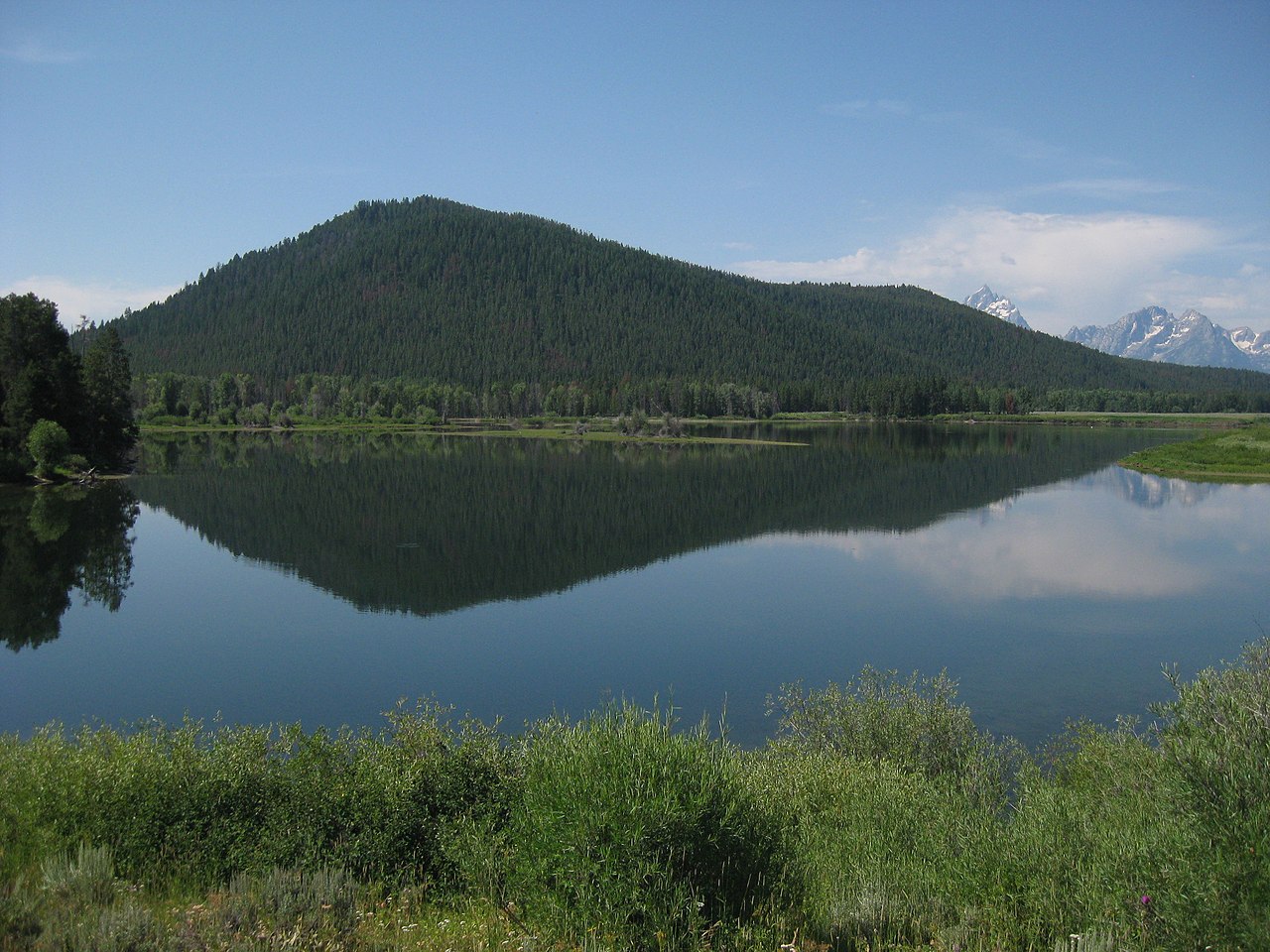 Signal MountainSummit · ~43 min drivePhoto: Thomas Kriese, CC BY 2.0 (via Wikimedia Commons)
 Owl PeakSummit · ~43 min drivePhoto: Acroterion, CC BY-SA 4.0 (via Wikimedia Commons)
 Ranger PeakSummit · ~45 min drivePhoto: Miguel Hermoso Cuesta, CC BY-SA 4.0 (via Wikimedia Commons)
Also worth it near here
- Heart RiverCanoeing · ~9 min drivePhoto: NPS, Public domain (via Wikimedia Commons)
- Heart LakeLake fishing · ~16 min drive
 Mount Sheridan TrailHiking · ~17 min drivePhoto: Greg Willis from Denver, CO, usa, CC BY-SA 2.0 (via Wikimedia Commons)
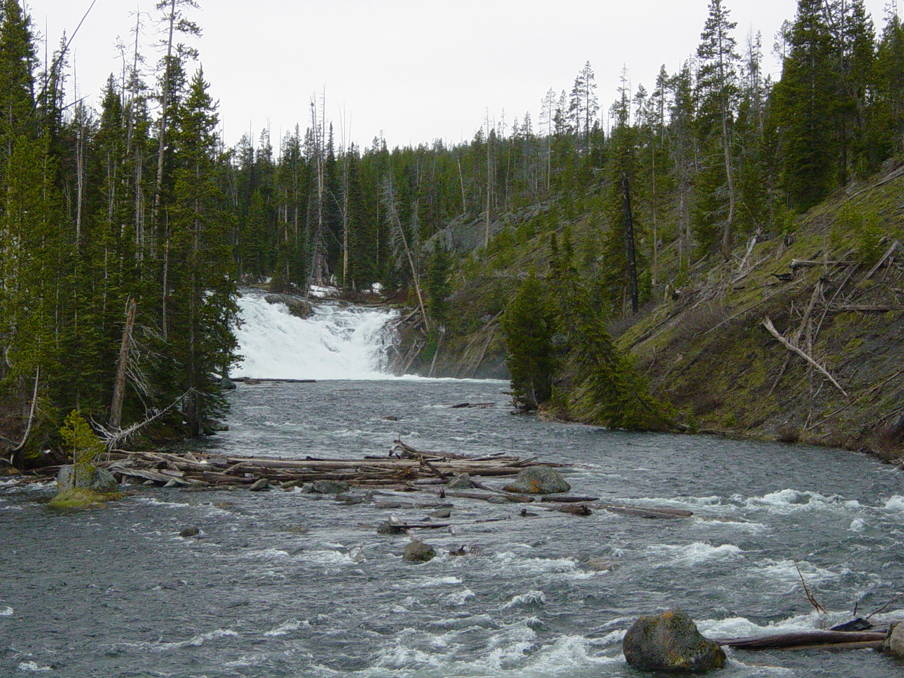 Lewis FallsWaterfall · ~24 min drivePhoto: No machine-readable author provided. MONGO assumed (based on copyright claims)., Public domain (via Wikimedia Commons)
 Lewis Lake CampgroundCamping · ~24 min drivePhoto: Yellowstone National Park from Yellowstone NP, USA, Public domain (via Wikimedia Commons)
