Tongue River
 Photo: USGS, Public domain (via Wikimedia Commons)
- 10.4 mi
- distance
- 6,807 ft
- high point
- Jun–Sep
- best months
Is Tongue River open right now?
No closures listed
The Forest Service lists no closures for Bighorn National Forest.
As of · Source: USFS · Bighorn National Forest. Agencies don't list every closure — check before you go.
Tongue River is a paddling stretch of about 10.4 miles near Dayton, Wyoming, on land in the Tongue Ranger District of Bighorn National Forest, managed by the U.S. Forest Service. The river flows year-round, with an average flow of about 176 cubic feet per second. This is a steep run. The gradient averages about 277 feet per mile, so the river drops quickly along its length. Summer is the most comfortable time to go. At the Burgess Junction, WY weather station, about 10 miles away, typical July averages are a high of 71°F and a low of 42°F. The Big Bird Area and Snag Wall climbing areas sit about 0.2 miles away. The Tongue River Cave hike is about 0.3 miles away, and the Tongue River Canyon hike is about 0.6 miles away.
- Big Bird AreaRock climbing0.2 mi
- Snag WallRock climbing0.2 mi
- Tongue River CaveHiking0.3 mi
- Tongue River CanyonHiking0.6 mi
- Wolf CreekCanoeing5.9 mi
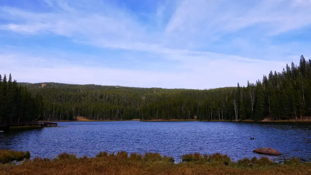 Sibley LakeCampingPhoto: Recreation.gov (RIDB) / public domain7.2 mi
 Sibley Lake CampgroundCampingPhoto: David Haile, CC BY-SA 4.0 (via Wikimedia Commons)7.7 mi
- South Tongue RiverCanoeing9.8 mi
Source: Roamze catalog (indexable pages within 10 miles, PostGIS distance)
 Little Bighorn RiverCanoeing · ~29 min drivePhoto: Leonard J. DeFrancisci, CC BY-SA 3.0 (via Wikimedia Commons)
- Afterbay Dam Boat RampBoat launch · ~1h 14m drive
 Shell CreekCanoeing · ~46 min drivePhoto: Clayton B. Fraser, Public domain (via Wikimedia Commons)
- Horseshoe Bend Boat LaunchBoat launch · ~1h 19m drive
- Wolf CreekCanoeing · ~10 min drive
- Boat WinchBoat launch · ~1h 19m drive
- South Tongue RiverCanoeing · ~17 min drive
- Barry's Landing Boat LaunchBoat launch · ~1h 19m drive
- Big Goose CreekCanoeing · ~21 min drive
- North Cove Boating SiteBoat launch · ~1h 19m drive
Best time to visit Tongue River
Best months: June–September. Best months have typical highs of 55–85 °F, lows of 30 °F or warmer (32 °F where the station doesn't record snow), at most one snowy day and no more than 12 wet days.
Jan
30° / 8°
Feb
29° / 7°
Mar
35° / 13°
Apr
41° / 18°
May
50° / 28°
Jun
61° / 35°
Jul
71° / 42°
Aug
70° / 41°
Sep
61° / 33°
Oct
46° / 23°
Nov
36° / 15°
Dec
29° / 8°
Typical high / low (°F) and days with rain or snow, 1991–2020. Measured at Burgess Junction, WY, 10.2 mi away at 8,060 ft. The station sits about 1,300 ft higher than this place, so expect it a little warmer here. This station doesn't record snowfall. Source: NOAA NCEI U.S. Climate Normals 1991–2020.
Closures we've recorded since August 2026
Forest Special Order 02-02-06-26-06 Tongue River Canyon Trail and Area Closure
Tongue Ranger District · Order dated September 10, 2026; seen Sep 9, 2026 → lifted Sep 21, 2026 · Forest Service

