
The Virginian RV Park
Hiking business nearby (~21 mi away) — hasn't claimed their Roamze page yet
Free — you'll pick up right here.
Watch this trail
Sign up to watch it — saving subscribes you to gate, closure and report changes.
Wyoming
22.0 mi
Distance
1,057 ft
Gain
7h 53m
Time
Agency alerts are in effect for this area; weather is marginal
2 factors · 2 sources
Newest 20 h ago · oldest 28 d
caution: Agency alerts
15 active alerts in Bridger-Teton National Forest; most severe: Camping Fees (Forest-wide)
USFS28 d ago
caution: Weather
Rain, high 50°F / low 44°F, 78% precip — 68/100 for hike
OpenWeather20 h ago
Been out here in the last few days? One report keeps this current for everyone.
Why you'll love it
Slate Creek
AI-suggested draft · review before you go
No permit or access details on file for this trail — check with the local land manager before you go.
Slate Creek is a 22-mile out-and-back trail located in Wyoming. This backcountry route offers solitude and extended hiking opportunities for those seeking a longer wilderness experience. The trail follows Slate Creek through the region, providing consistent access to water throughout the journey. The out-and-back format allows hikers to turn around at any point, making the route flexible for different fitness levels and time constraints. An 11-mile hike to the midpoint gives hikers the option for a moderate day trip, while the full 22-mile traverse is best suited for experienced backpackers or those with substantial endurance. The trail's length and remote Wyoming setting make it ideal for those looking to escape developed areas and experience the region's natural landscape. Check current conditions and obtain any necessary permits before heading out, as this backcountry route may have seasonal access restrictions.

Turpin Creek
~8 min drive
3.4 mi · Moderate
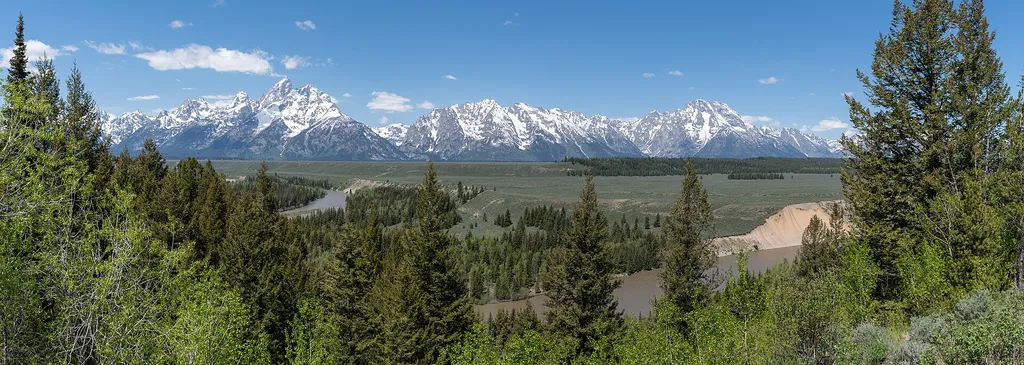
Deadmans Bar
~10 min drive
<p>The Snake River winds through the valley floor carrying snowmelt from the mountains westward toward the Pacific Ocean. This river is an artery of the park that offers stunning views of the Tetons. Many species of wildlife use the river, from the browsing moose to the indust…

Grizzly Lake
~15 min drive
8.1 mi · Hard
Dallas Fork
~16 min drive
2.7 mi · Easy

Lavender Hills
~13 min drive
4.9 mi · Moderate
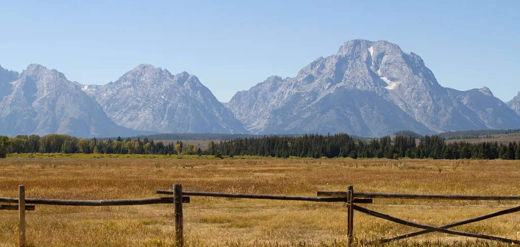
Teton Point Turnout
~12 min drive
<p>Pleistocene Ice Age glaciers advanced across this valley many times. Each time the glaciers melted, a raging torrent of meltwater flowed across the valley floor. The powerful flow carved terraces that step down to the modern Snake River. Today, conifer and cottonwood trees…
Blue Miner Lake
~15 min drive
9.4 mi · Hard
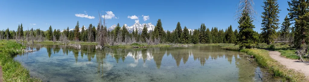
Schwabacher Landing
~12 min drive
<p>The Snake River is winding and braided. One channel of the river flows towards Schwabacher Landing—a scenic location for viewing the mountains and wildlife. The shallow water is crystal clear and on a calm morning, will reflect the Teton Range. The riparian habitat is makes…
Middle Fork Ditch Creek
~2 min drive
13 mi · Hard

Glacier View Turnout
~13 min drive
<p>Across the valley, the Teton Range rises abruptly from the valley with no foothills to obscure your view. Glaciers lie sheltered on the northeastern flanks of the highest peaks including the Middle Teton and Teton glaciers. Climate change is causing these glaciers to retrea…
Local operatorsoffering guided trips. You book directly with them — Roamze doesn’t take a cut.
The Virginian RV Park
Hiking business nearby (~21 mi away) — hasn't claimed their Roamze page yet
Greys River Cove
Hiking business nearby (~45 mi away) — hasn't claimed their Roamze page yet