
The Virginian RV Park
Hiking business nearby (~21 mi away) — hasn't claimed their Roamze page yet
Free — you'll pick up right here.
Watch this trail
Sign up to watch it — saving subscribes you to gate, closure and report changes.
Wyoming
12.7 mi
Distance
850 ft
Gain
4h 39m
Time
We won't guess. Here is exactly what we do and don't know.
What we do know
Inside Bridger-Teton National Forest
2 managing-area boundaries mapped — agency alerts for them feed this page automatically.
Boundary data
What's missing
No access route mapped
We don't yet know which road reaches this trailhead, so we can't tell you if it's gated.
Nobody's filed a report here yet — be the first.
Why you'll love it
Middle Fork Ditch Creek
AI-suggested draft · review before you go
No permit or access details on file for this trail — check with the local land manager before you go.
Middle Fork Ditch Creek is a 12.7-mile out-and-back trail located in Wyoming. This route offers hikers an extended journey through the region's natural landscape, with the full distance covering 12.7 miles round trip. The trail follows Middle Fork Ditch Creek, providing a water-based navigation point throughout the hike. As an out-and-back route, you'll retrace your steps on the return journey, making distance planning straightforward for day hikers. The specific elevation gain for this trail has not been documented, so hikers should be prepared for variable terrain. Given the creek-based setting and Wyoming's diverse topography, conditions may range from gentle streamside walking to more challenging sections. This trail is best suited for hikers with moderate to strong endurance, as the 12.7-mile distance requires a full day commitment. Plan accordingly with adequate water, supplies, and daylight hours. The trail's proximity to Wyoming communities makes it accessible for regional visitors seeking a backcountry experience without extensive travel requirements.

Turpin Creek
~7 min drive
3.4 mi · Moderate
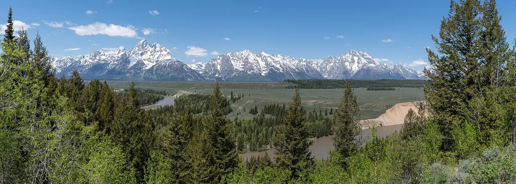
Deadmans Bar
~8 min drive
<p>The Snake River winds through the valley floor carrying snowmelt from the mountains westward toward the Pacific Ocean. This river is an artery of the park that offers stunning views of the Tetons. Many species of wildlife use the river, from the browsing moose to the indust…
Aspen Creek
~12 min drive
6.2 mi · Hard
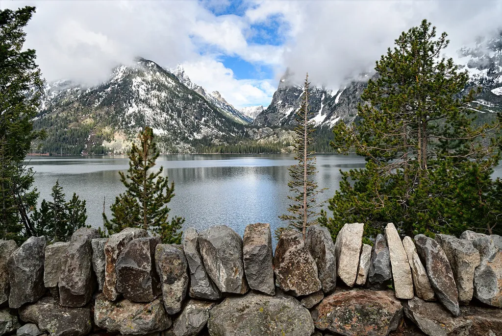
Cascade Canyon Turnout
~15 min drive
<p>Most visitors find it challenging to reach the alpine community in the park, but the view from Cascade Canyon turnout provides a glimpse. The canyon climbs through the forest community where many conifers thrive-lodgepole pine, Engelmann spruce, Douglas fir and subalpine fi…
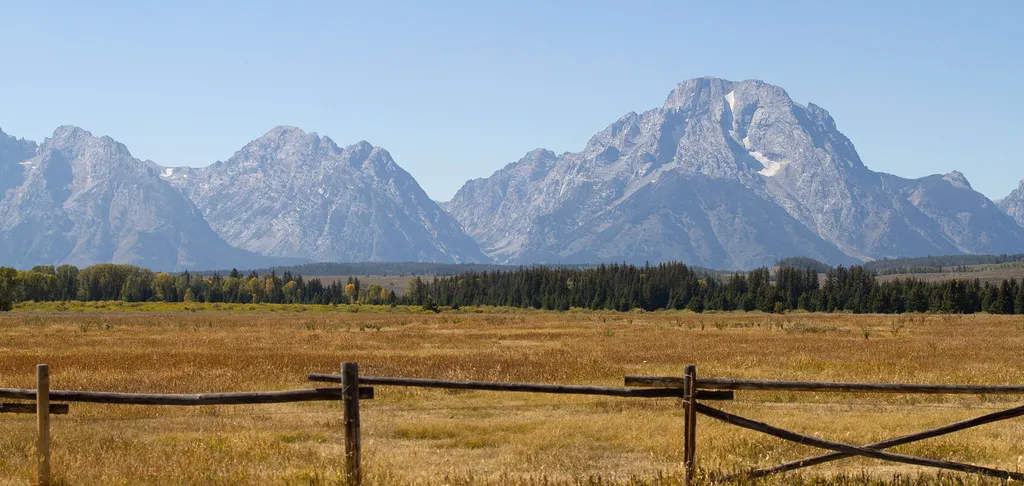
Teton Point Turnout
~9 min drive
<p>Pleistocene Ice Age glaciers advanced across this valley many times. Each time the glaciers melted, a raging torrent of meltwater flowed across the valley floor. The powerful flow carved terraces that step down to the modern Snake River. Today, conifer and cottonwood trees…
Slate Creek
~2 min drive
22 mi · Hard
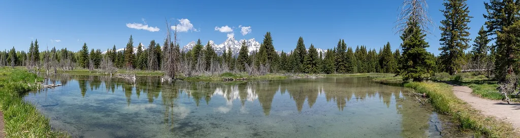
Schwabacher Landing
~10 min drive
<p>The Snake River is winding and braided. One channel of the river flows towards Schwabacher Landing—a scenic location for viewing the mountains and wildlife. The shallow water is crystal clear and on a calm morning, will reflect the Teton Range. The riparian habitat is makes…

Glacier View Turnout
~11 min drive
<p>Across the valley, the Teton Range rises abruptly from the valley with no foothills to obscure your view. Glaciers lie sheltered on the northeastern flanks of the highest peaks including the Middle Teton and Teton glaciers. Climate change is causing these glaciers to retrea…
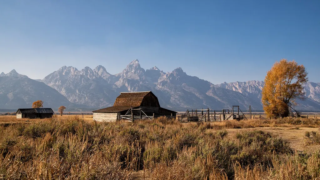
Thomas Murphy Homestead
~12 min drive
<p>The northernmost homestead on Mormon Row--the Thomas Murphy homestead boasts a gray stucco house, a large barn and several smaller buildings. Like many other early settlers on Mormon Row, Murphy laid claim to his land in 1908 and gained title in 1915.</p>

Potholes Turnout
~12 min drive
<p>This odd stand of conifer trees took root in a depression within the sagebrush flats. Locals called these depressions "potholes" while other regions of the country call these features "kettles." As ice-age glaciers retreated, blocks of ice dropped from the glacier's face on…
Local operatorsoffering guided trips. You book directly with them — Roamze doesn’t take a cut.
The Virginian RV Park
Hiking business nearby (~21 mi away) — hasn't claimed their Roamze page yet
Greys River Cove
Hiking business nearby (~45 mi away) — hasn't claimed their Roamze page yet