Little Cottonwood Group
Campground
Campground · 1.2 mi from the trail
No closures listed
The Forest Service lists no closures for Bridger-Teton National Forest.
As of · Source: USFS · Bridger-Teton National Forest. Agencies don't list every closure — check before you go.
Sheep Gulch is an easy hike of about 0.6 miles on the out-and-back route in Wyoming's Bridger-Teton National Forest, within the Greys River Ranger District. The Forest Service manages the land, and the trail rises about 54 feet from a low point of roughly 5,640 feet to a high of about 5,721 feet. It's a short, gentle walk. The trail is open to both horses and bikes. The steepest part comes at about 0.2 miles in, where the grade reaches 10 percent. Summer is the most comfortable time to go. Typical July averages from a nearby weather station in Swan Valley, Idaho, run to highs around 85°F and lows near 46°F, while winter highs there stay around 30°F. Little Cottonwood Group campground is about 1.2 miles away, and Red Creek is about 1.7 miles off. The Goat Cave climbing area sits about 1.9 miles away, and Wolf Creek Campground is roughly 2.9 miles away.
Little Cottonwood Group
Campground
Flying Saddle
Restaurant
Places © OpenStreetMap contributors
More in JacksonNot on Roamze yet. Their page has how to reach them.
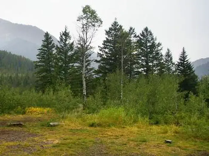 Little Cottonwood GroupCampingPhoto: Recreation.gov (RIDB) / public domain1.2 mi
 The Goat CaveRock climbingPhoto: Bridger-Teton NF, Public Domain Mark (via Flickr)1.9 mi
Source: Roamze catalog (indexable pages within 10 miles, PostGIS distance)
Best months: June–September. Best months have typical highs of 55–85 °F, lows of 30 °F or warmer (32 °F where the station doesn't record snow), at most one snowy day and no more than 12 wet days.
Jan
30° / 11°
10 wet
Feb
35° / 14°
9 wet
Mar
45° / 22°
10 wet
Apr
56° / 27°
12 wet
May
66° / 35°
13 wet
Jun
75° / 41°
10 wet
Jul
85° / 46°
8 wet
Aug
84° / 44°
8 wet
Sep
75° / 37°
8 wet
Oct
59° / 29°
8 wet
Nov
43° / 20°
9 wet
Dec
32° / 12°
9 wet
Typical high / low (°F) and days with rain or snow, 1991–2020. Measured at Swan Valley, ID, 23.8 mi away at 5,397 ft. This station doesn't record snowfall. Source: NOAA NCEI U.S. Climate Normals 1991–2020.
