Loading…

Roaring Mountain
Free — you'll pick up right here.
Watch this trail
Sign up to watch it — saving subscribes you to gate, closure and report changes.
Wyoming
Weather is marginal
1 factor · 1 source
Observed 22 h ago
caution: Weather
Rain, high 57°F / low 46°F, 99% precip — 65/100 for hike
OpenWeather22 h ago
Been out here in the last few days? One report keeps this current for everyone.
Roaring Mountain
AI-suggested draft · review before you go
No elevation data on file for this trail.
Roaring Mountain is a large, acidic thermal area (solfatara) that contains many steam vents (fumaroles). In the late 1800s and early 1900s, the number, size, and power of the fumaroles was much greater than today. Fumaroles (Steam Vents) Fumaroles or steam vents, are the hottest hydrothermal features in the park. The limited amount of water flashes into steam before reaching the surface. The result is a loud hissing of steam and gases. Norris Geyser Basin Norris Geyser Basin is one of the hottest and most acidic of Yellowstone's hydrothermal areas. It is outside of the most recent Yellowstone caldera, but inside the first and largest caldera. It sits on the intersection of three major faults and is a very active earthquake area. Even small earthquakes can trigger changes in hydrothermal behavior. This sudden activity is known as a "thermal disturbance" and can last a few days, or more than a week. Gradually, most features return to "normal." Norris has the greatest water chemistry diversity among Yellowstone's hydrothermal areas. The water chemistry changes as the water levels of underground hot water reservoirs fluctuates. Although Norris is known for its acid features, it also has alkaline hot springs and geysers. Accessibility Large parking pullout. Exhibit is wheelchair-accessible.
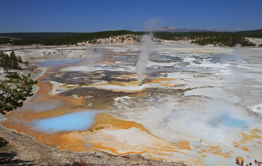
Fumaroles in Porcelain Basin
~7 min drive
<p>Hurricane Vent, nearby, was once a steamy, noisy fumarole. It has also been boiling and full of steam, with a small waterfall on the far side.</p> <h2>Fumaroles</h2> <p>Fumaroles or steam vents, are the hottest hydrothermal features in the park. The limited amount of water…
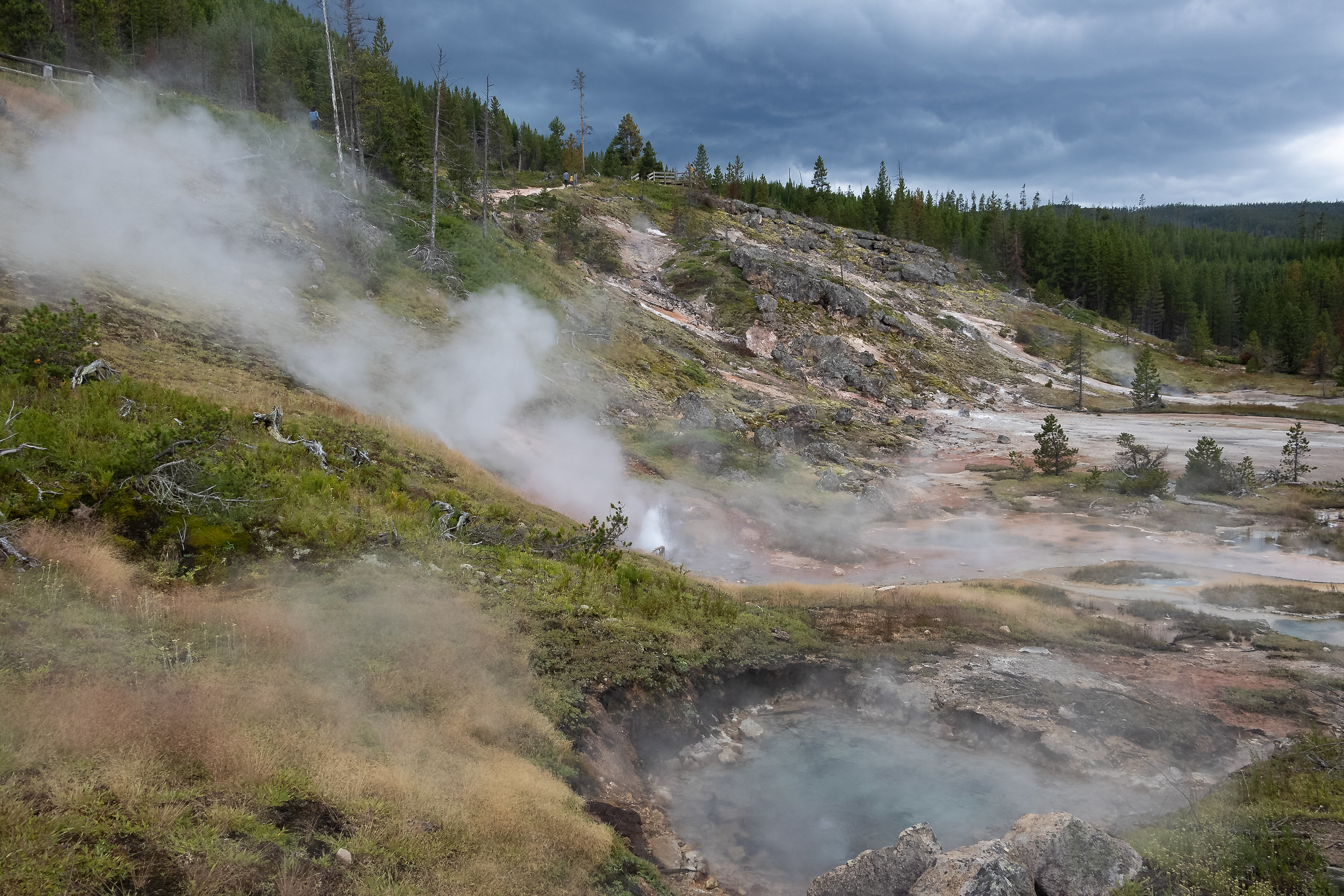
Artists Paintpots Trail
~10 min drive
This is a one-mile (1.6 km) trail that enters a partially burned lodgepole pine forest, then winds across a wet meadow on a boardwalk. This trail is a short loop. The hydrothermal area has colorful hot springs, mudpots, and small geysers. Watch out for flying mud. Stay on th…

Howard Eaton Trail
~12 min drive
22 mi · Hard
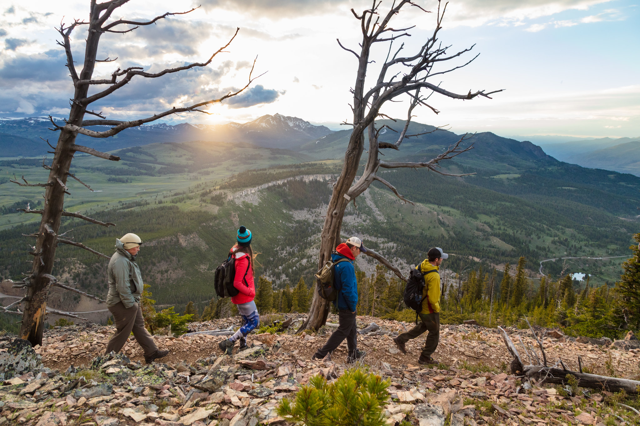
Bunsen Peak Trailhead (1K4)
~18 min drive
Bunsen Peak prominently sits south of Mammoth Hot Springs. From this trailhead, you can embark on the following trails: Bunsen Peak Trail Bunsen Peak Road Trail Osprey Falls Trail Parking is limited. Winter trailhead access requires a snow coach drop-off, or skiing up from…
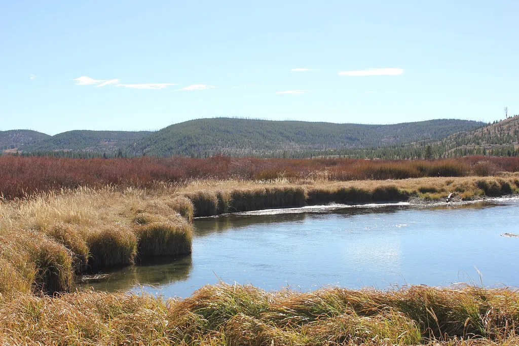
Willow Park Vault Toilet
~10 min drive
A worthwhile stop near Wyoming.

Harlequin Lake Trail
~21 min drive
1.0 mi · Easy

Purple Mountain Trail
~19 min drive
6.7 mi · Moderate
Lodgepole Pines
~11 min drive
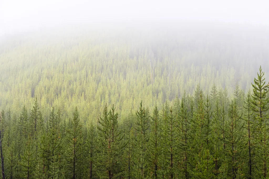
<p>Forests cover roughly 80% of Yellowstone and lodgepole pine comprises nearly all of that canopy.</p> <p>Some American Indian tribes used this tree to make the frames of their tipis or lodges, hence the name “lodgepole” pine. The log walls of the Old Faithful Inn are made wi…
Cascade Lake Trailhead (4K5)
~21 min drive
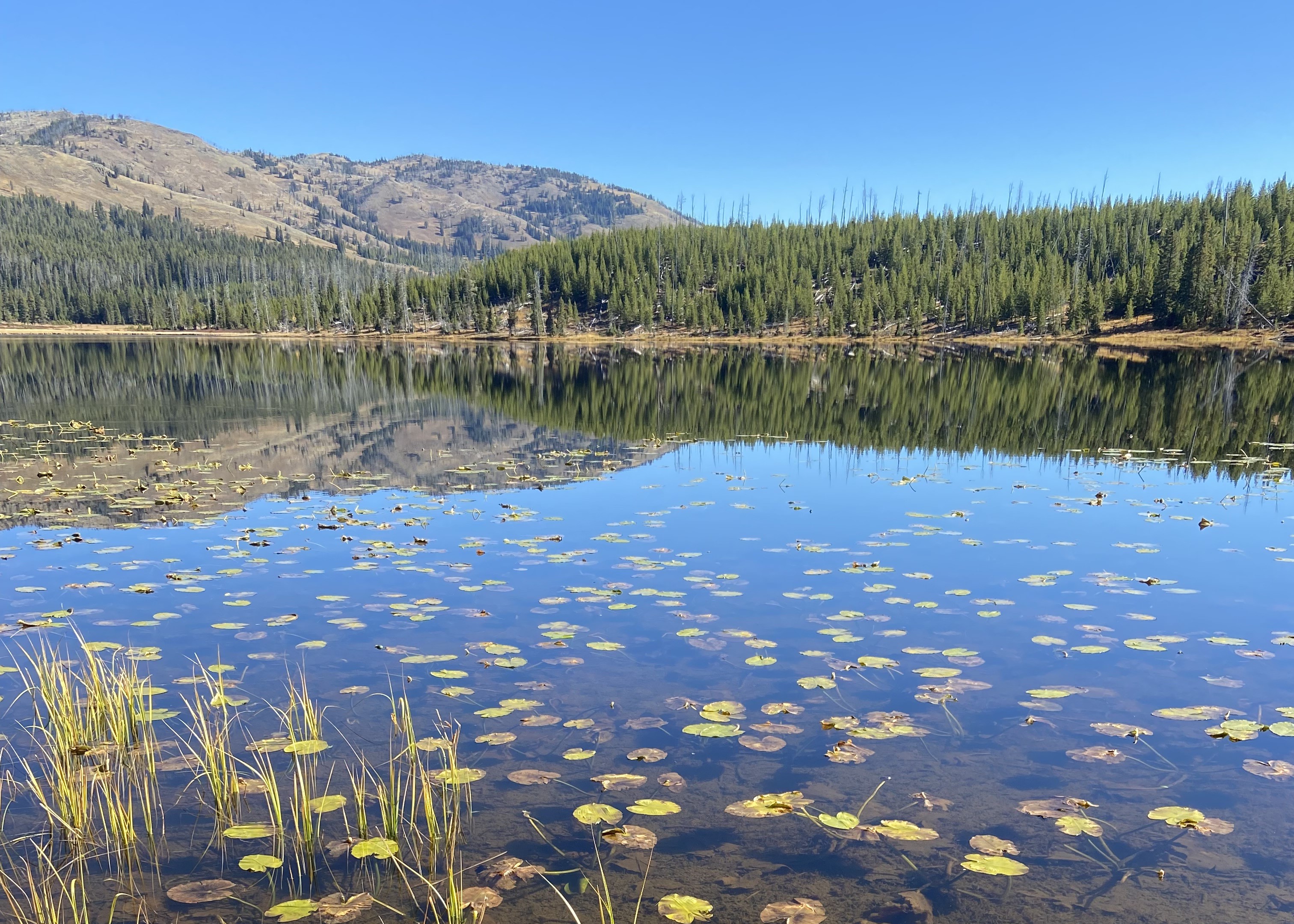
From this trailhead you can embark on the following trails: Cascade Lake Trail Observation Peak Trail There is a dedicated parking lot at this trailhead. The nearest restrooms are location to the east at the Cascade Lake Picnic Area. Cascade Lake Trail A moderate 4.4-mile…
Bunsen Peak Overlook
~20 min drive
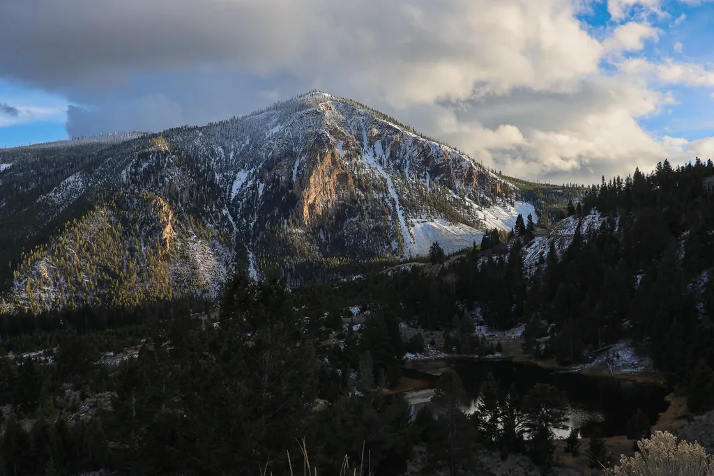
<p>Bunsen Peak prominently sits south of Mammoth Hot Springs. From this trailhead, you can embark on the following trails:</p> <ul> <li>Bunsen Peak Trail</li> <li>Bunsen Peak Road Trail</li> <li>Osprey Falls Trail</li> </ul> <p>Parking is limited. Winter trailhead access requi…
