Loading…

Obsidian Cliff
Free — you'll pick up right here.
Watch this trail
Sign up to watch it — saving subscribes you to gate, closure and report changes.
Wyoming
Weather is marginal
1 factor · 1 source
Observed 22 h ago
caution: Weather
Rain, high 57°F / low 46°F, 99% precip — 65/100 for hike
OpenWeather22 h ago
Been out here in the last few days? One report keeps this current for everyone.
Obsidian Cliff
AI-suggested draft · review before you go
No elevation data on file for this trail.
Obsidian is found in volcanic areas where the magma is rich in silica and lava has cooled without forming crystals, creating a black glass that can be honed to an exceptionally thin edge. Unlike most obsidian, which occurs as small rocks strewn amid other formations, Obsidian Cliff has an exposed vertical thickness of about 98 feet (30 m). Obsidian was first quarried from this cliff for toolmaking more than 11,000 years ago. It is the United States’ most widely dispersed source of obsidian by hunter-gatherers. Obsidian Cliff is the primary source of obsidian in a large concentration of Midwestern sites, including about 90% of obsidian found in Hopewell mortuary sites in the Ohio River Valley (about 1,850–1,750 years ago). Obsidian Cliff was designated as a National Historic Landmark in 1996.
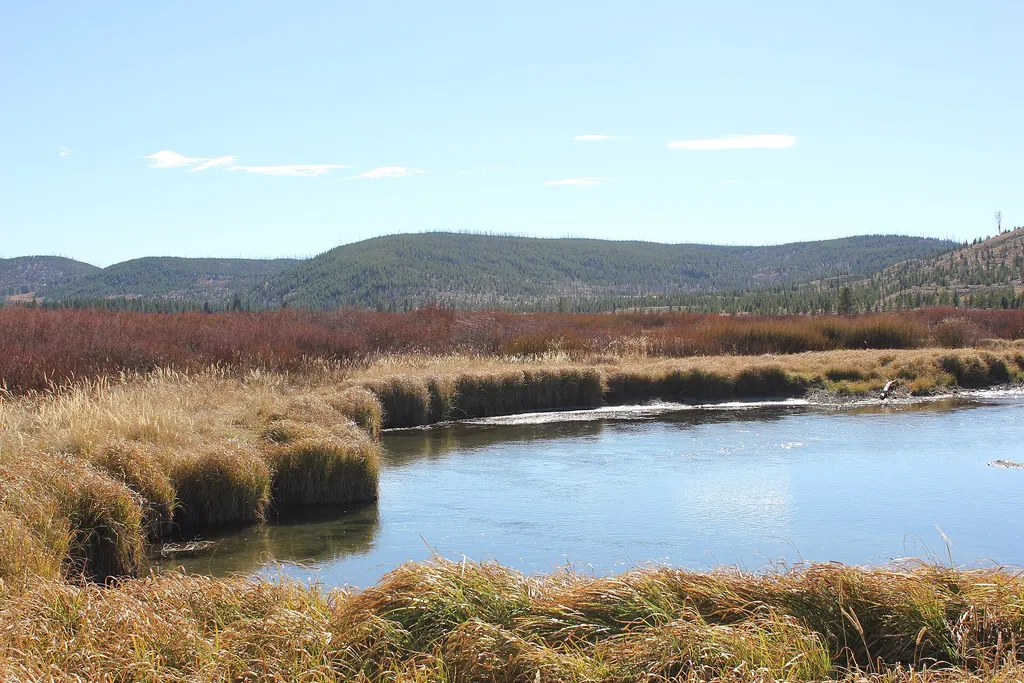
Willow Park Vault Toilet
~5 min drive
A worthwhile stop near Wyoming.
Bunsen Peak Trailhead (1K4)
~13 min drive
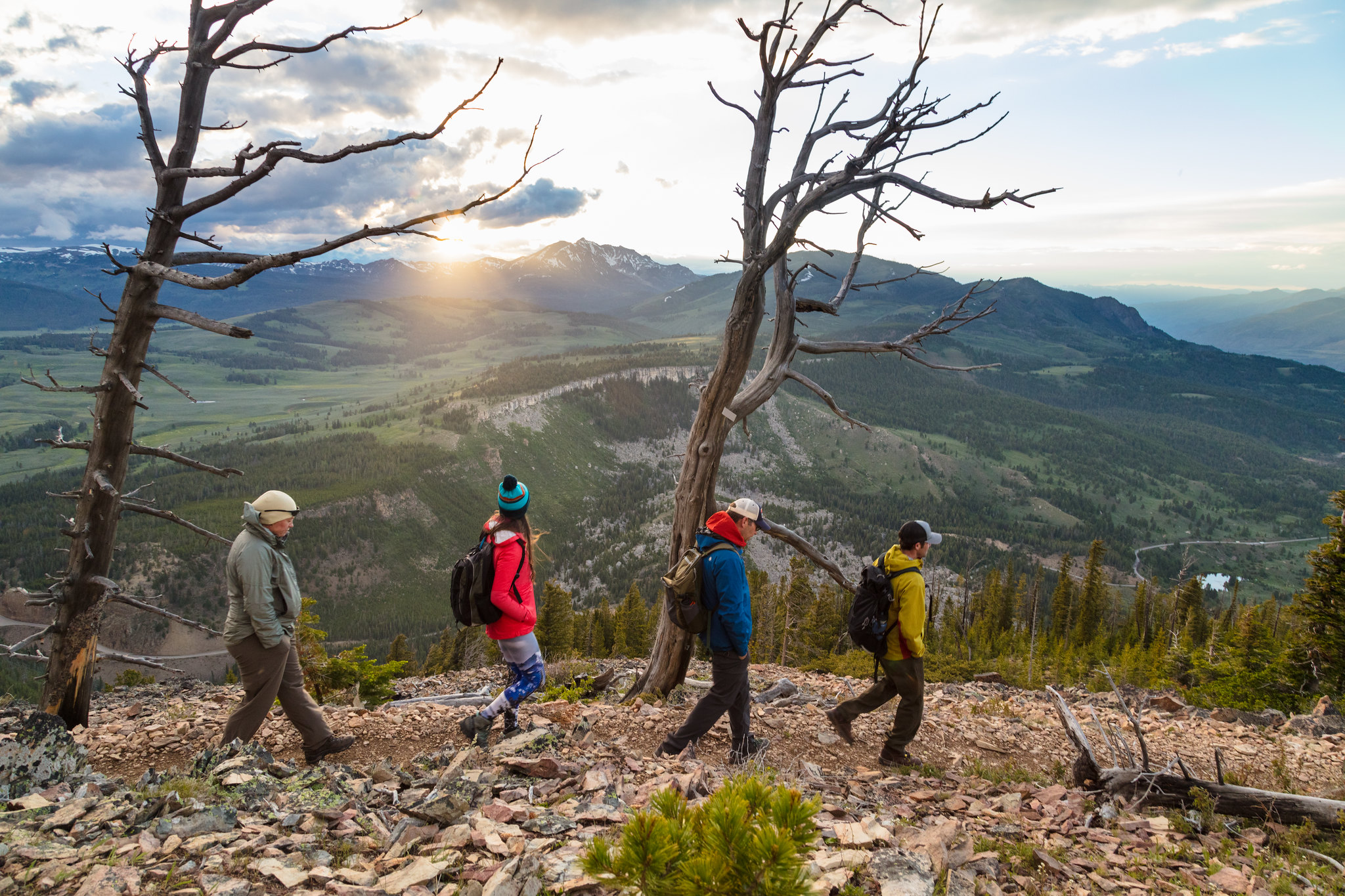
Bunsen Peak prominently sits south of Mammoth Hot Springs. From this trailhead, you can embark on the following trails: Bunsen Peak Trail Bunsen Peak Road Trail Osprey Falls Trail Parking is limited. Winter trailhead access requires a snow coach drop-off, or skiing up from…

Howard Eaton Trail
~15 min drive
22 mi · Hard
Artists Paintpots Trail
~15 min drive
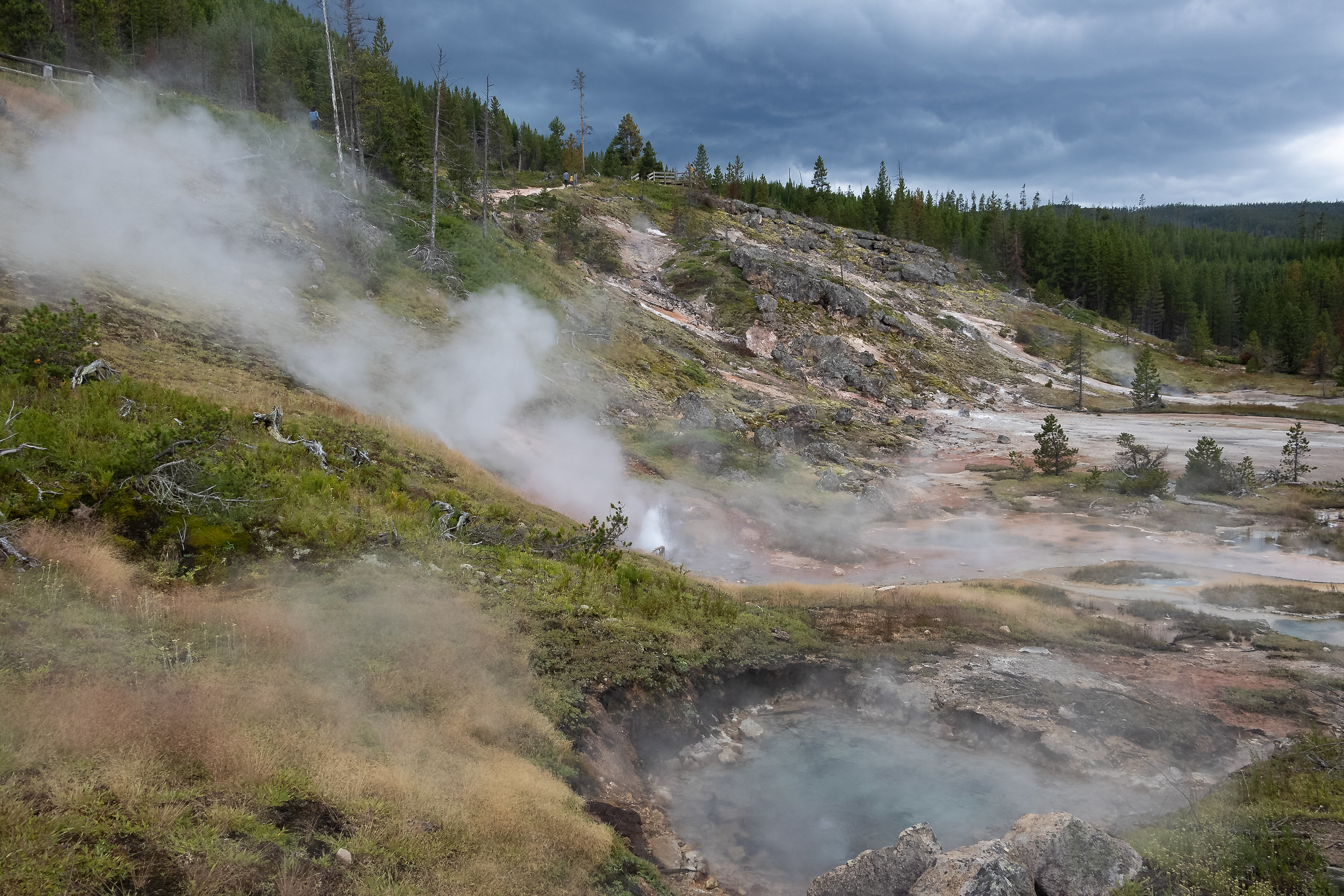
This is a one-mile (1.6 km) trail that enters a partially burned lodgepole pine forest, then winds across a wet meadow on a boardwalk. This trail is a short loop. The hydrothermal area has colorful hot springs, mudpots, and small geysers. Watch out for flying mud. Stay on th…
Sheepeater Cliff
~8 min drive
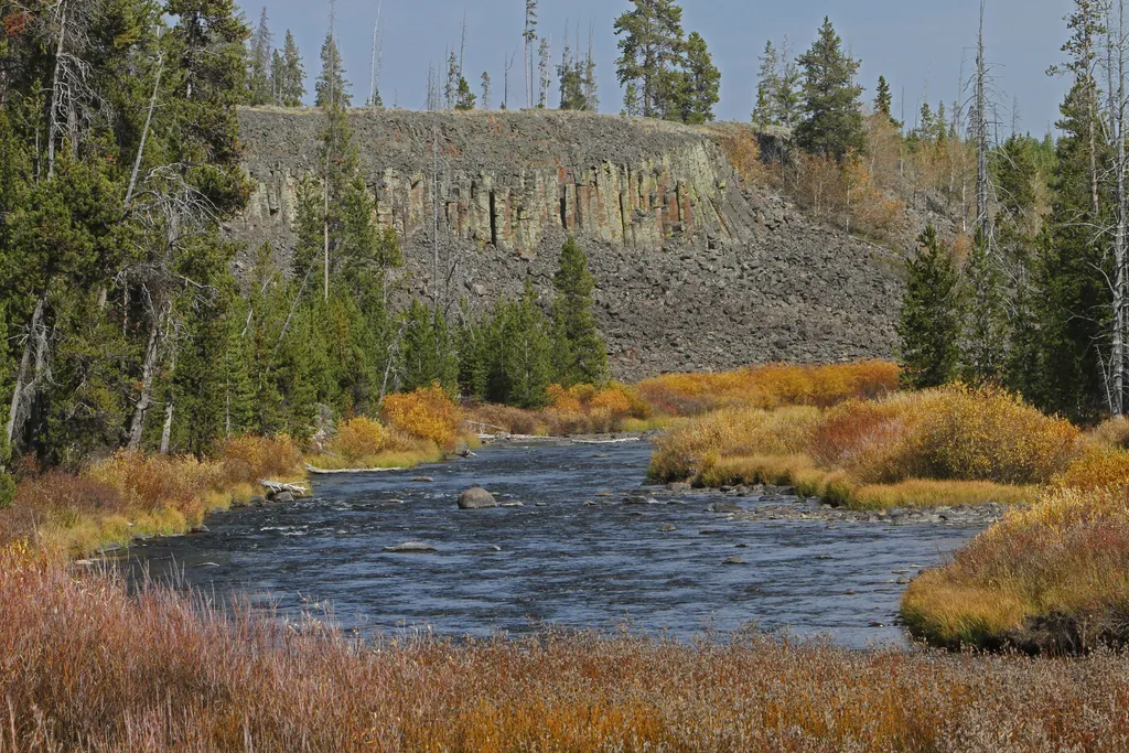
<p>Sheepeater Cliff is made up of columnar basalt deposited by lava flows roughly 500,000 years ago. The Gardner River flows through the valley, exposing the flow and forming the cliff. The basalt of Sheepeater Cliff are known as columnar basalt due to the hexagonal fracture l…
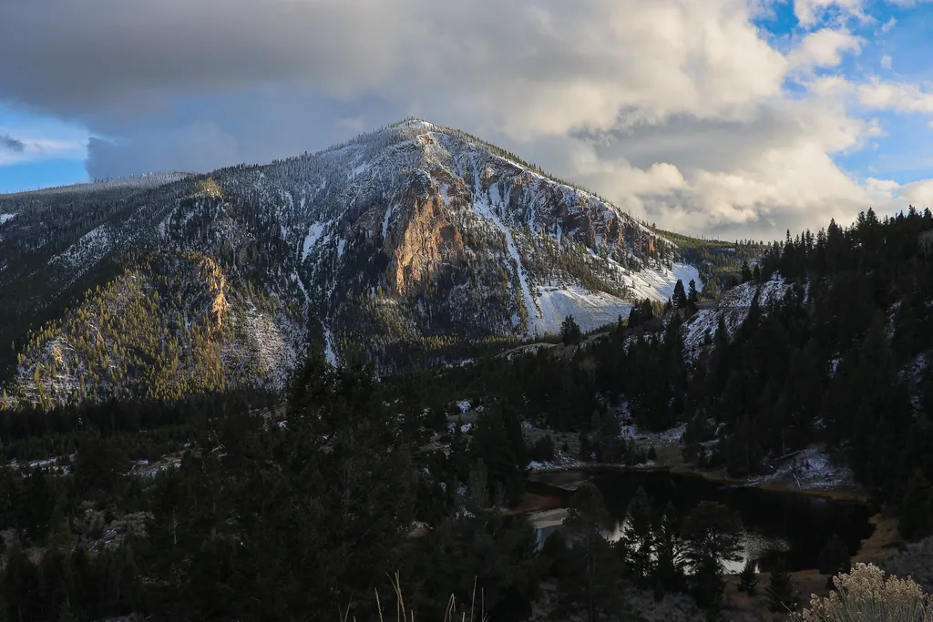
Bunsen Peak Overlook
~15 min drive
<p>Bunsen Peak prominently sits south of Mammoth Hot Springs. From this trailhead, you can embark on the following trails:</p> <ul> <li>Bunsen Peak Trail</li> <li>Bunsen Peak Road Trail</li> <li>Osprey Falls Trail</li> </ul> <p>Parking is limited. Winter trailhead access requi…
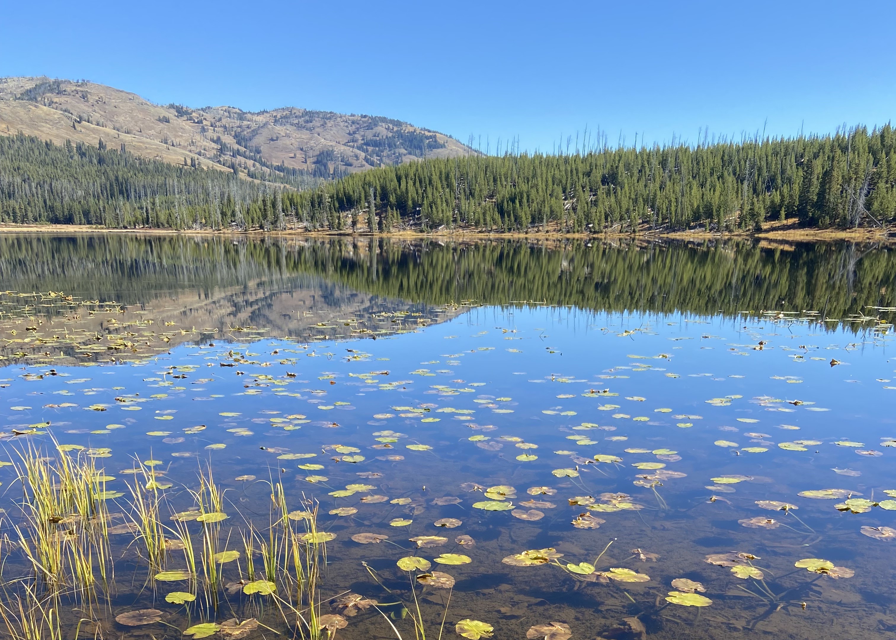
Cascade Lake Trailhead (4K5)
~22 min drive
From this trailhead you can embark on the following trails: Cascade Lake Trail Observation Peak Trail There is a dedicated parking lot at this trailhead. The nearest restrooms are location to the east at the Cascade Lake Picnic Area. Cascade Lake Trail A moderate 4.4-mile…
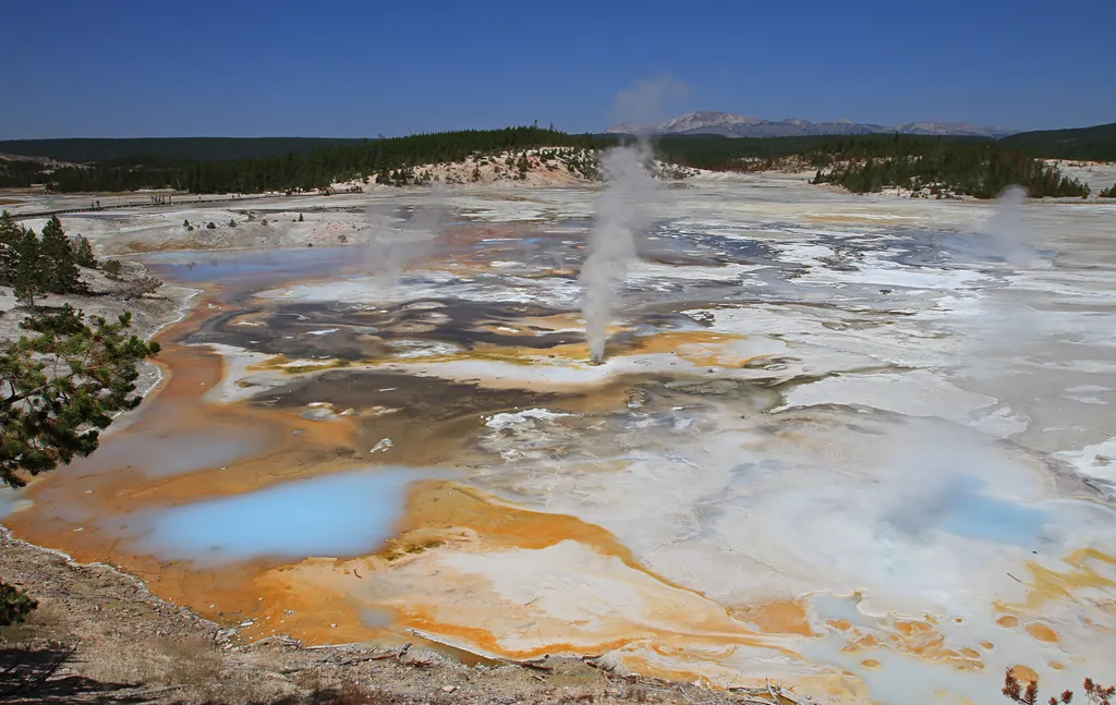
Fumaroles in Porcelain Basin
~11 min drive
<p>Hurricane Vent, nearby, was once a steamy, noisy fumarole. It has also been boiling and full of steam, with a small waterfall on the far side.</p> <h2>Fumaroles</h2> <p>Fumaroles or steam vents, are the hottest hydrothermal features in the park. The limited amount of water…

Osprey Falls Trail
~16 min drive
7.8 mi · Moderate

Casecade Lake Trail
~22 min drive
4.3 mi · Easy
