The Virginian RV Park
Hiking business nearby (~7 mi away) — hasn't claimed their Roamze page yet
Free — you'll pick up right here.
Watch this trail
Sign up to watch it — saving subscribes you to gate, closure and report changes.
Wyoming
17.9 mi
Distance
413 ft
Gain
6h 11m
Time
We won't guess. Here is exactly what we do and don't know.
What we do know
Inside Bridger-Teton National Forest
2 managing-area boundaries mapped — agency alerts for them feed this page automatically.
Boundary data
What's missing
No access route mapped
We don't yet know which road reaches this trailhead, so we can't tell you if it's gated.
Nobody's filed a report here yet — be the first.
Why you'll love it
Phillips Ridge
AI-suggested draft · review before you go
Phillips Ridge is a hiking trail in Wyoming, 17.92 miles and 413 feet of elevation gain. It is an out-and-back trail.
Snotel Trail
~1 min drive
2.10-mile out-and-back hike in Wyoming with 306 ft gain.
Phillips Pass
~1 min drive
8.74-mile out-and-back trail to Phillips Pass in Wyoming with 832 ft of elevation gain.
MOOSE LAKE SPUR
~8 min drive
3.0-mile out-and-back trail with 1,106 ft gain and loss, reaching 9,316 ft elevation.
Jackson Hole Mountain Resort Aerial Tram Trailhead
~11 min drive
Location: Access the trailhead from the top of the aerial tram. Teton Village is about one mile south of Grand Teton National Park on the Moose-Wilson Road (WY 390). Notes: Visitor services are extensive in Teton Village including motels, restaurants, shops and activities.…
Jimmys Mom
~1 min drive
1.98-mile out-and-back trail in Wyoming with 258 ft gain.
Ski Lake Trail
~1 min drive
6.7-mile out-and-back trail in Wyoming with 2,637 ft elevation gain and loss.
Crankshaft Trail
~10 min drive
9.77-mile loop in Wyoming with 2,015 ft elevation gain.
Parallel Trail
~2 min drive
2.87-mile out-and-back trail in Wyoming with 74 ft of elevation gain.
SKI LAKE
~1 min drive
6.72-mile out-and-back hike in Wyoming with 2,630 ft elevation gain.
Rock Spring Loop
~10 min drive
2.36-mile out-and-back trail in Wyoming with 970 ft elevation gain.
Also worth it near here
Trail Cr Main Loop Xc Snow
~3 min drive
Wilson Boat Ramp
~6 min drive
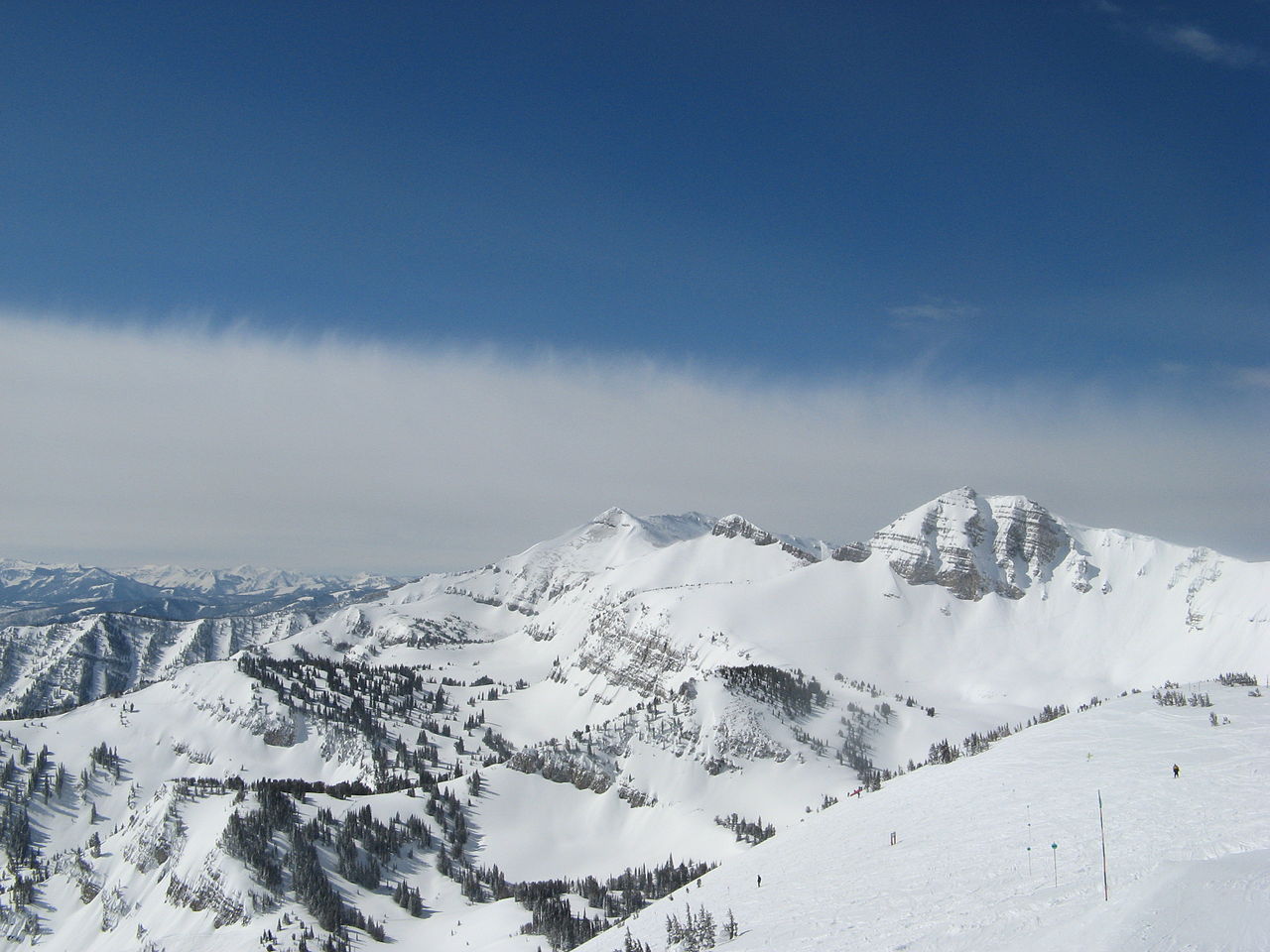 Photo: Ams100272, Public domain (via Wikimedia Commons)
Rendezvous Mountain
~7 min drive
 Photo: Matt Berger
https://www.inaturalist.org/people/sheriff_woody_pct, CC BY 4.0 (via Wikimedia Commons)
Photo: Matt Berger
https://www.inaturalist.org/people/sheriff_woody_pct, CC BY 4.0 (via Wikimedia Commons)Mail Cabin
~8 min drive
 Photo: jeffgunn, CC BY 2.0 (via Flickr)
North Side
~11 min drive
Local operatorsoffering guided trips. You book directly with them — Roamze doesn’t take a cut.
The Virginian RV Park
Hiking business nearby (~7 mi away) — hasn't claimed their Roamze page yet
Greys River Cove
Hiking business nearby (~25 mi away) — hasn't claimed their Roamze page yet
