Trail Creek
Campground
Campground · 6.1 mi from the trail
No closures listed
The Forest Service lists no closures for Bridger-Teton National Forest.
As of · Source: USFS · Bridger-Teton National Forest. Agencies don't list every closure — check before you go.
Arrow Trail is a 9.4-mile out-and-back hike in Wyoming's Bridger-Teton National Forest, within the Jackson Ranger District. The trail rises from a low point of 7,827 feet to a high of 8,259 feet, with a total elevation gain of 478 feet. The Forest Service manages the land, and the trail is open year-round. The route is rated hard, and its natural surface makes it suitable for horses and bikes. The trailhead is at Phillips Bench Trailhead, and the parking is labeled PHILLIPS BENCH TRAILHEAD. Summer is the most comfortable time to go. Typical averages from a nearby weather station show July highs around 77°F with lows near 42°F, and snow is common from November through April. That station sits about 1,450 feet lower than the trail's high point, so temperatures on the route run cooler. Ski Lake Trail and Jimmys Mom both start within a quarter mile. The Snake River offers fishing about 4.5 miles away, and Trail Creek campground is about 6 miles off.
Trail Creek
Campground
Flat Creek Overlook
Viewpoint
Places © OpenStreetMap contributors
More in JacksonNot on Roamze yet. Their page has how to reach them.
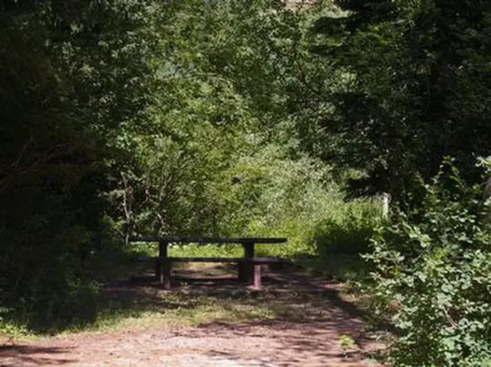 Trail CreekCampingPhoto: Recreation.gov (RIDB) / public domain6.1 mi
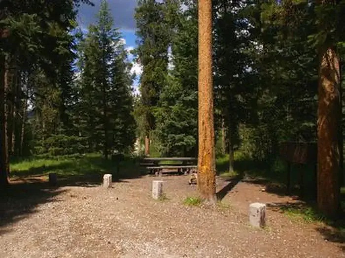 Mike HarrisCampingPhoto: Recreation.gov (RIDB) / public domain7.9 mi
Source: Roamze catalog (indexable pages within 10 miles, PostGIS distance)
 Rock Spring LoopHiking · ~11 min drivePhoto: Matt Emerson from Story City, Iowa, USA, CC BY 2.0 (via Wikimedia Commons)
 Blair Dr. Bike Skills TrailHiking · ~11 min drivePhoto: Anton Molodtsov, CC BY-SA 3.0 (via Wikimedia Commons)
Also worth it near here
 Mail CabinMountain biking · ~7 min drivePhoto: Matt Berger
https://www.inaturalist.org/people/sheriff_woody_pct, CC BY 4.0 (via Wikimedia Commons)
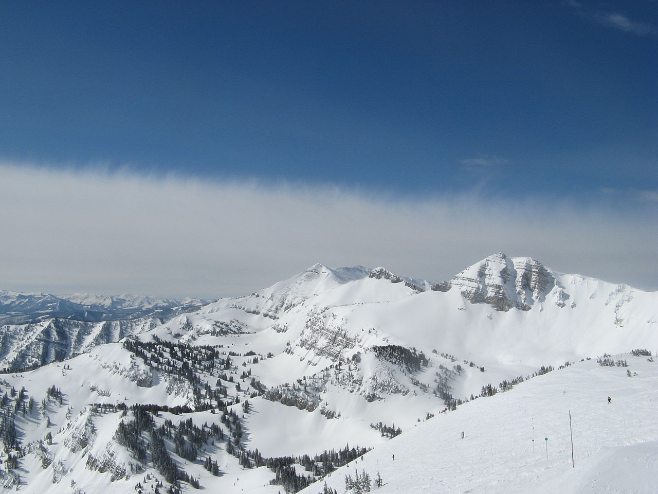 Rendezvous MountainSummit · ~7 min drivePhoto: Ams100272, Public domain (via Wikimedia Commons)
Best months: June–September. Best months have typical highs of 55–85 °F, lows of 30 °F or warmer (32 °F where the station doesn't record snow), at most one snowy day and no more than 12 wet days.
Jan
24° / 1°
14 wet · 14 snow
Feb
30° / 4°
12 wet · 11 snow
Mar
39° / 12°
12 wet · 9 snow
Apr
46° / 21°
12 wet · 6 snow
May
56° / 31°
12 wet · 2 snow
Jun
67° / 37°
10 wet
Jul
77° / 42°
8 wet
Aug
76° / 40°
8 wet
Sep
66° / 34°
8 wet
Oct
51° / 25°
9 wet · 3 snow
Nov
35° / 14°
12 wet · 9 snow
Dec
24° / 4°
15 wet · 14 snow
Typical high / low (°F) and days with rain or snow, 1991–2020. Measured at Moran 5wnw, WY, 29.5 mi away at 6,805 ft. The station sits about 1,500 ft lower than this place, so expect it a little cooler here. Source: NOAA NCEI U.S. Climate Normals 1991–2020.
