Middle Fork/South Fork
Campground
Campground · 1.6 mi from the trail
 Photo: Matt Emerson from Story City, Iowa, USA, CC BY 2.0 (via Wikimedia Commons)
No closures listed
The Forest Service lists no closures for Bridger-Teton National Forest.
As of · Source: USFS · Bridger-Teton National Forest. Agencies don't list every closure — check before you go.
Rock Spring Loop is a 1.3-mile out-and-back trail in Wyoming with 747 feet of elevation gain and loss. The route reaches a maximum elevation of 10,171 feet.
Middle Fork/South Fork
Campground
Piste Mountain Bistro
Restaurant
Places © OpenStreetMap contributors
More in JacksonNot on Roamze yet. Their page has how to reach them.
 Open Canyon TrailHiking · ~8 min drivePhoto: aoiaio, CC BY 3.0 (via Wikimedia Commons)Open Canyon Cutoff TrailHiking · ~8 min drivePhoto: aoiaio, CC BY 3.0 (via Wikimedia Commons)Rendevous Mtn TrailHiking · Next doorPhoto: Matt Emerson from Story City, Iowa, USA, CC BY 2.0 (via Wikimedia Commons)Casper Ridge LoopHiking · ~2 min drivePhoto: Matt Emerson from Story City, Iowa, USA, CC BY 2.0 (via Wikimedia Commons)
Also worth it near here
 North SideRock climbing · Next doorPhoto: jeffgunn, CC BY 2.0 (via Flickr)
 Jackson Hole Mountain ResortDownhill skiing · ~3 min drivePhoto: Enricokamasa, Public domain (via Wikimedia Commons)
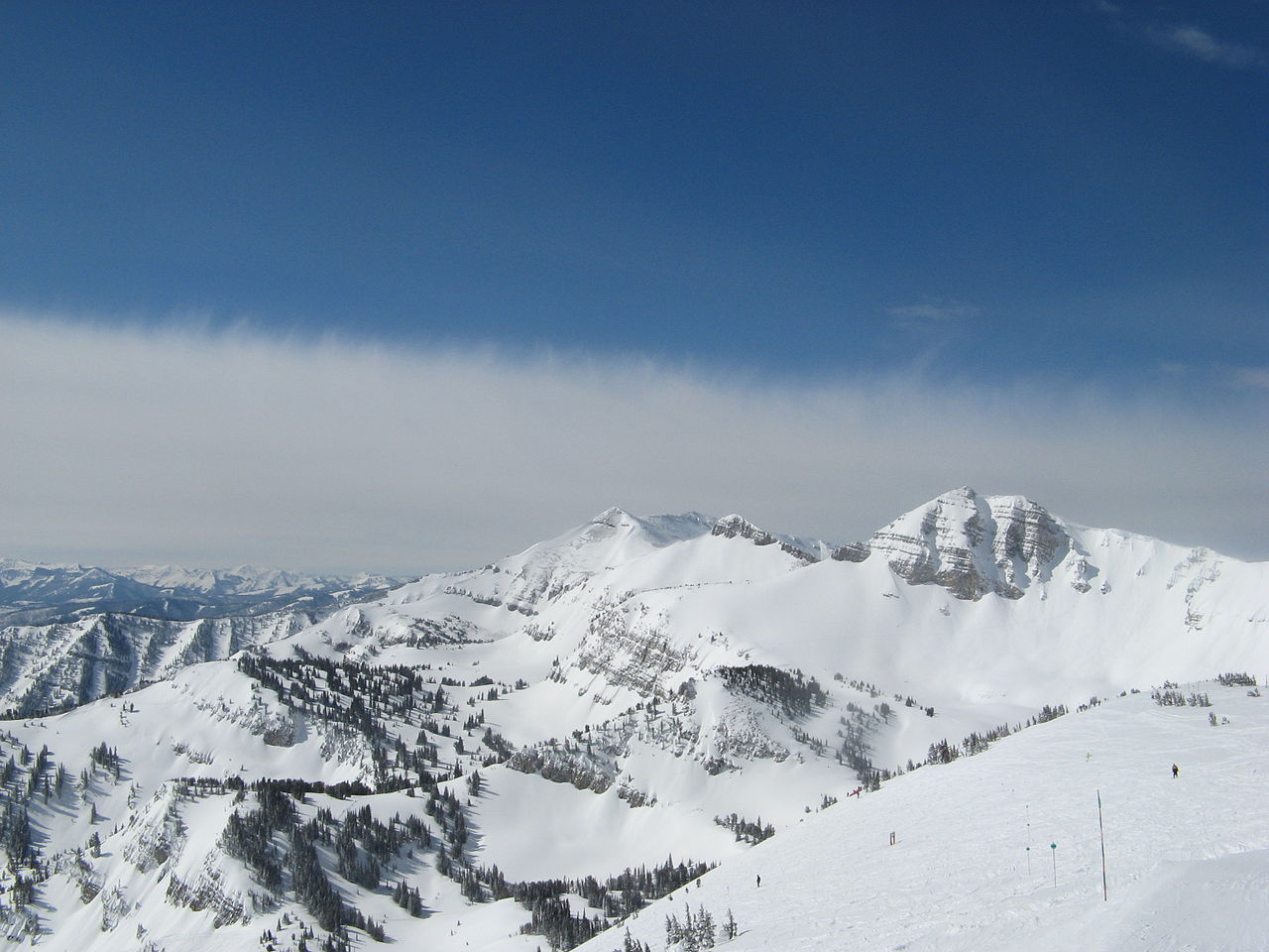 Rendezvous MountainSummit · ~4 min drivePhoto: Ams100272, Public domain (via Wikimedia Commons)
Map and trail data © OpenStreetMap contributors
