Middle Fork/South Fork
Campground
Campground · 5.7 mi from the trail
No closures listed
The Forest Service lists no closures for Bridger-Teton National Forest.
As of · Source: USFS · Bridger-Teton National Forest. Agencies don't list every closure — check before you go.
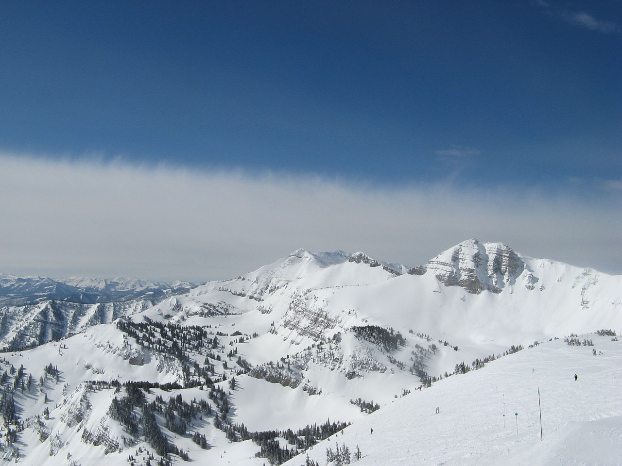
Phillips Pass is an out-and-back hike in Wyoming's Bridger-Teton National Forest, within the Jackson Ranger District. The trail is about 8.7 miles long, with an elevation gain of 832 feet, and it is rated hard. The route starts at the Phillips Bench Trailhead, and the high point reaches about 8,923 feet. The trail is on natural surface, and horses are allowed. The Forest Service manages the land. The pass sits at a high point of about 8,923 feet, with the low point at about 8,056 feet. The climb is spread across the full length of the route, and the trail is best suited for a day with time to move at a steady pace. Two other hikes, Snotel Trail and Phillips Ridge, both lie about 0.4 miles away. The Snake River offers river fishing about 4.3 miles off, and Trail Creek campground is about 6.2 miles away.
Middle Fork/South Fork
Campground
Flat Creek Overlook
Viewpoint
Places © OpenStreetMap contributors
More in JacksonNot on Roamze yet. Their page has how to reach them.
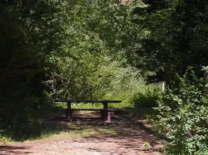 Trail CreekCampingPhoto: Recreation.gov (RIDB) / public domain6.2 mi
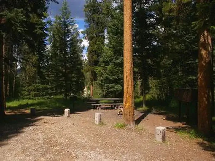 Mike HarrisCampingPhoto: Recreation.gov (RIDB) / public domain8 mi
Source: Roamze catalog (indexable pages within 10 miles, PostGIS distance)
 Rock Spring LoopHiking · ~10 min drivePhoto: Matt Emerson from Story City, Iowa, USA, CC BY 2.0 (via Wikimedia Commons)
 Blair Dr. Bike Skills TrailHiking · ~11 min drivePhoto: Anton Molodtsov, CC BY-SA 3.0 (via Wikimedia Commons)Rendevous Mtn TrailHiking · ~10 min drivePhoto: Matt Emerson from Story City, Iowa, USA, CC BY 2.0 (via Wikimedia Commons)