Loading…

Free — you'll pick up right here.
Watch this trail
Sign up to watch it — saving subscribes you to gate, closure and report changes.
Wyoming
6.0 mi
Distance
1,497 ft
Gain
2h 45m
Time
We won't guess. Here is exactly what we do and don't know.
What we do know
Inside Shoshone National Forest
2 managing-area boundaries mapped — agency alerts for them feed this page automatically.
Boundary data
What's missing
No access route mapped
We don't yet know which road reaches this trailhead, so we can't tell you if it's gated.
Nobody's filed a report here yet — be the first.
Why you'll love it
Nameit Cr Trail
AI-suggested draft · review before you go
No permit or access details on file for this trail — check with the local land manager before you go.
Nameit Cr Trail is a 6.0-mile out-and-back hike located in Wyoming. This trail offers hikers a straightforward route with a clear turnaround point, making it accessible for those planning their distance in advance. The trail follows Nameit Creek through the Wyoming landscape, providing a scenic corridor along the waterway. As an out-and-back trail, Nameit Cr Trail allows hikers to explore the creek drainage at their own pace and turn back at any point before the official endpoint. The full 6.0-mile distance covers 3.0 miles of trail each direction, making it suitable for day hikers of varying abilities. The Wyoming setting offers typical high country or foothill terrain, with creek-side hiking that often provides cooler temperatures and riparian vegetation. The trail's proximity to its water feature makes it an appealing option during warmer months. Hikers should plan accordingly for typical Wyoming weather conditions and bring adequate water and sun protection. This trail is ideal for hikers seeking a moderate distance hike with a defined turnaround point in the Wyoming backcountry.

Grizzly Ridge Trail
~3 min drive
13 mi · Hard
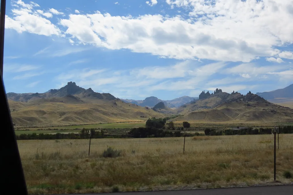
Four Bear Mountain Trail
~15 min drive
3.0 mi · Moderate
Pagoda Cr Trail
~4 min drive
8.7 mi · Hard

Libby Cr Trail
~26 min drive
9.9 mi · Moderate

Grace Creek Trail
~7 min drive
4.8 mi · Hard
Table Mountain
~6 min drive
9.2 mi · Moderate
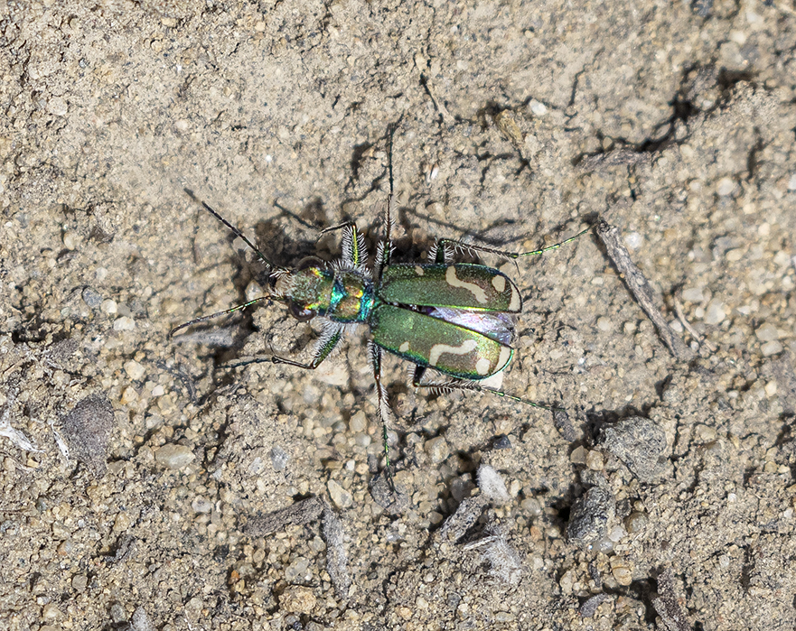
Jim Mountain Trail
~11 min drive
17 mi · Hard
Clearwater Cr Trail
~11 min drive
6.5 mi · Moderate

Houlihan Loop Trail
~20 min drive
7.7 mi · Hard
Jim Mountain Cutaccross
~12 min drive
4.7 mi · Moderate