Middle Fork/South Fork
Campground
Campground · 2.2 mi from the trail
No closures listed
The Forest Service lists no closures for Caribou-Targhee National Forest.
As of · Source: USFS · Caribou-Targhee National Forest. Agencies don't list every closure — check before you go.
Moose Creek is a 2.4-mile out-and-back hike in Wyoming's Jedediah Smith Wilderness, within the Teton Basin Ranger District of the Caribou-Targhee National Forest. The trail starts at 8,978 feet and climbs to 9,764 feet, with a total gain of 1,006 feet over the round trip. The steepest stretch comes at about 0.4 miles, where the grade reaches 51 percent. The route is rated hard. The Forest Service manages the land, and the hike lies entirely within designated wilderness. Plan on about 1.5 hours for the trip. Nearby, the Moose Lake Spur Trail is 1.3 miles away and the Middle Fork Granite Canyon Trail is 1.7 miles away. Climbers can find the (a) West Sector about 4.2 miles off, and Trail Creek campground is 5.6 miles away.
Middle Fork/South Fork
Campground
Piste Mountain Bistro
Restaurant
Places © OpenStreetMap contributors
More in JacksonNot on Roamze yet. Their page has how to reach them.
 North SideRock climbingPhoto: jeffgunn, CC BY 2.0 (via Flickr)4.2 mi
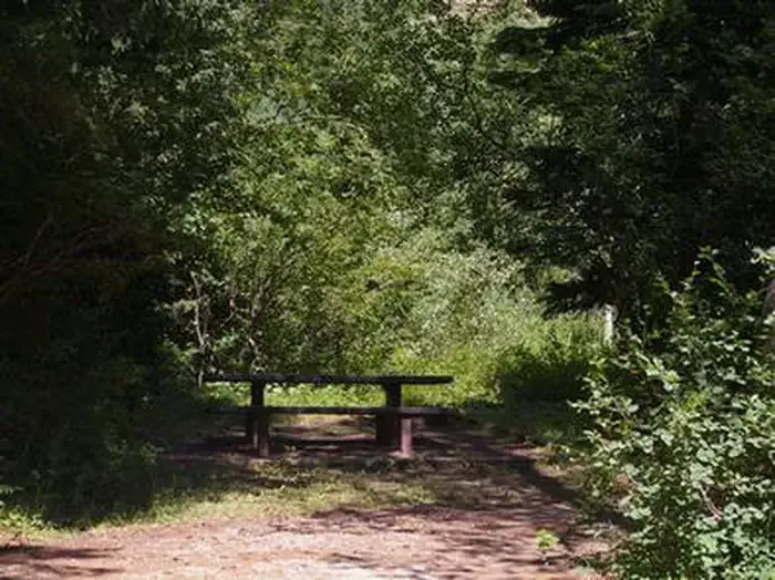 Trail CreekCampingPhoto: Recreation.gov (RIDB) / public domain5.6 mi
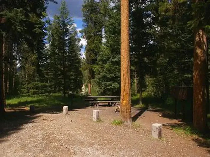 Mike HarrisCampingPhoto: Recreation.gov (RIDB) / public domain6.3 mi
Source: Roamze catalog (indexable pages within 10 miles, PostGIS distance)
 Rock Spring LoopHiking · ~6 min drivePhoto: Matt Emerson from Story City, Iowa, USA, CC BY 2.0 (via Wikimedia Commons)
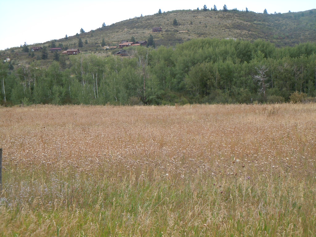 CampgroundHiking · ~11 min drivePhoto: Matt Lavin, CC BY-SA 2.0 (via Flickr)Rendevous Mtn TrailHiking · ~7 min drivePhoto: Matt Emerson from Story City, Iowa, USA, CC BY 2.0 (via Wikimedia Commons)Mikesell CanyonHiking · ~11 min drivePhoto: Matt Lavin, CC BY-SA 2.0 (via Flickr)Casper Ridge LoopHiking · ~8 min drivePhoto: Matt Emerson from Story City, Iowa, USA, CC BY 2.0 (via Wikimedia Commons)
Also worth it near here
 Moose CreekMountain biking · ~3 min drivePhoto: Matt Berger
https://www.inaturalist.org/people/sheriff_woody_pct, CC BY 4.0 (via Wikimedia Commons)
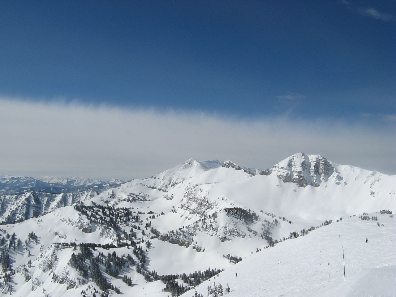 Rendezvous MountainSummit · ~5 min drivePhoto: Ams100272, Public domain (via Wikimedia Commons)North SideRock climbing · ~7 min drivePhoto: jeffgunn, CC BY 2.0 (via Flickr)
 Jackson Hole Mountain ResortDownhill skiing · ~9 min drivePhoto: Enricokamasa, Public domain (via Wikimedia Commons)
Map and trail data © OpenStreetMap contributors
