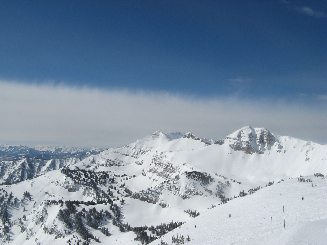
Middle Fork/South Fork
Campground
Campground · 0.6 mi from the trail
Alert in the area
The National Park Service lists 2 alerts for Grand Teton National Park.
Construction in the South End of the Park
Park alert covering Grand Teton National Park · NPS · Grand Teton National Park
Construction on HWY 26/89/191
Park alert covering Grand Teton National Park · NPS · Grand Teton National Park
As of · Source: NPS · Grand Teton National Park. Agencies don't list every closure — check before you go.
Middle Fork Granite Canyon Trail is a moderate out-and-back hike of about 3 miles in Grand Teton National Park, Wyoming, on land managed by the National Park Service. The trail rises from a low point of about 8,900 feet to a high of around 9,300 feet, with an elevation gain of about 480 feet one way and roughly 1,080 feet for the round trip. The steepest stretch comes at about the 1.3-mile mark, where the grade reaches 25%. The trail is rated moderate, and the climb is the defining feature. Horses are allowed, which makes it a practical option for riders as well as hikers. The South Fork Cutoff Granite Canyon Trail and the South Fork Granite Canyon Trail both lie about 0.6 miles away. Game Creek Pass Trail is about 0.9 miles off. For climbing, First Round Wall is about 2.7 miles away.
Middle Fork/South Fork
Campground
Piste Mountain Bistro
Restaurant
Places © OpenStreetMap contributors
More in JacksonNot on Roamze yet. Their page has how to reach them.
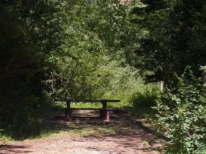 Trail CreekCampingPhoto: Recreation.gov (RIDB) / public domain7.3 mi
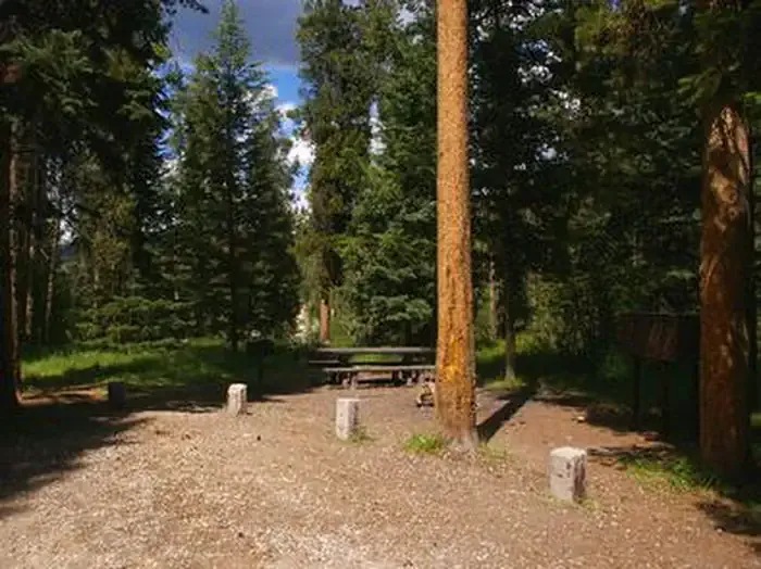 Mike HarrisCampingPhoto: Recreation.gov (RIDB) / public domain8 mi
Source: Roamze catalog (indexable pages within 10 miles, PostGIS distance)
 Rock Spring LoopHiking · ~4 min drivePhoto: Matt Emerson from Story City, Iowa, USA, CC BY 2.0 (via Wikimedia Commons)
 Open Canyon Cutoff TrailHiking · ~11 min drivePhoto: aoiaio, CC BY 3.0 (via Wikimedia Commons)Rendevous Mtn TrailHiking · ~4 min drivePhoto: Matt Emerson from Story City, Iowa, USA, CC BY 2.0 (via Wikimedia Commons)
Also worth it near here