Midway Geyser Basin Trailhead
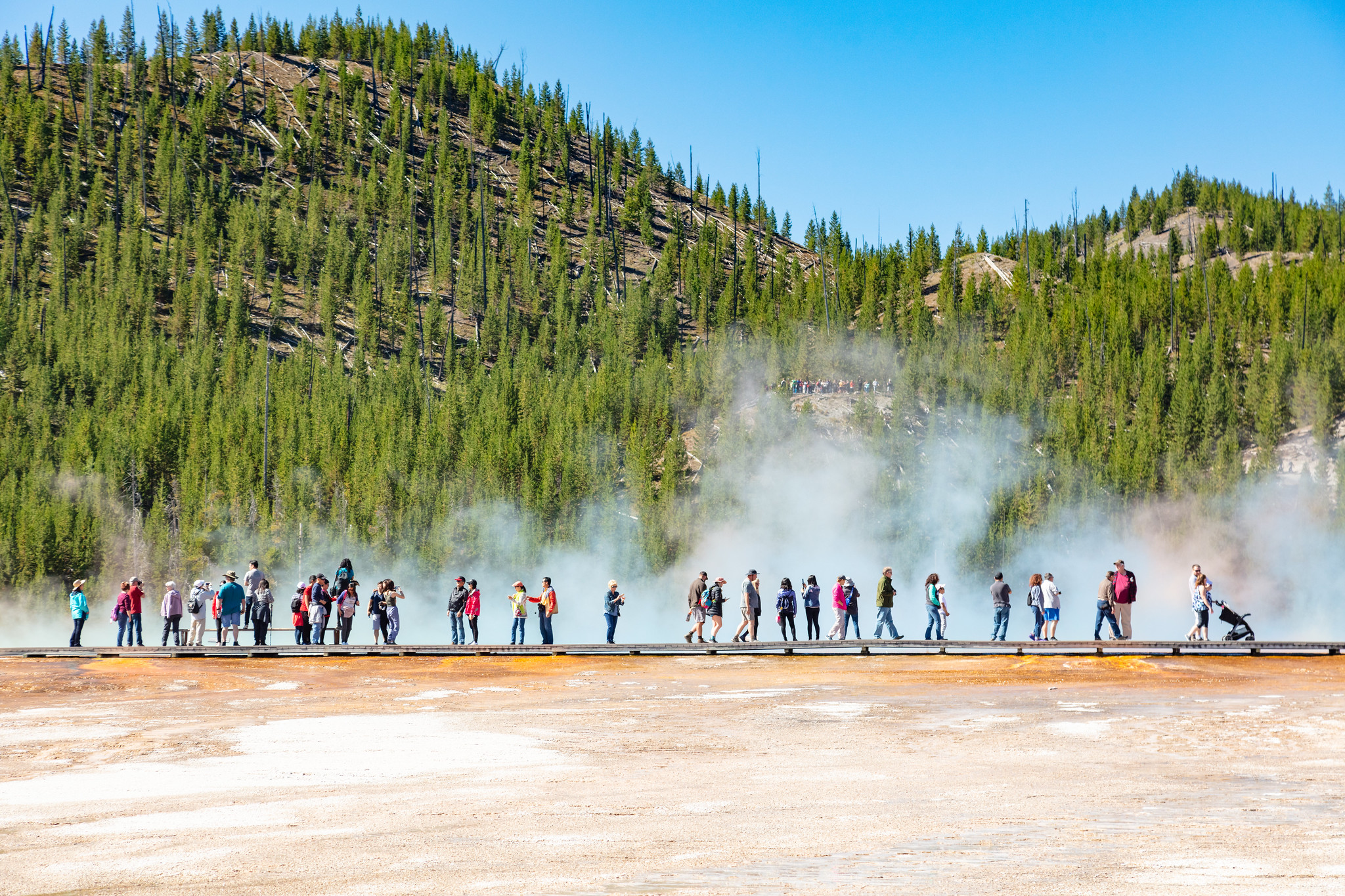 Photo: Dietmar Rabich — Wikimedia Commons (CC BY-SA 4.0)
- 0.3 mi
- loop
- 13 ft
- climb
- 7,275 ft
- high point
- Loop
- route
- Jul–Aug
- best months
Is Midway Geyser Basin Trailhead open right now?
Closure in the area
There's a closure order in Yellowstone National Park. It doesn't name Midway Geyser Basin Trailhead, so check the source for the area it covers (2 listed).
Most Park Roads Closed to All Vehicles
Park closure covering Yellowstone National Park · NPS · Yellowstone National Park
Biscuit Basin Closed Due to Hydrothermal Explosion
Park closure covering Yellowstone National Park · NPS · Yellowstone National Park
As of · Source: NPS · Yellowstone National Park. Agencies don't list every closure — check before you go.
Midway Geyser Basin is small but spectacular. Excelsior Geyser is a 200 x 300 foot crater that constantly discharges more than 4,000 gallons of water per minute into the Firehole River. Grand Prismatic Spring, Yellowstone’s largest hot spring, is 200–330 feet in diameter and more than 121 feet deep. Hot Springs Hot springs are the most common hydrothermal features in Yellowstone. Their plumbing has no constrictions. Superheated water cools as it reaches the surface, sinks, and is replaced by hotter water from below. This circulation prevents water from reaching the temperature needed to set off an eruption. Color and Heat Lovers Hydrothermal features are also habitats in which microscopic organisms survive and thrive. They are called thermophiles: "thermo" for heat and "phile" for lover. Although they are too small to be seen with the naked eye, trillions are grouped together and appear as masses of color. They are nourished by energy and chemical building blocks. Colorless and yellow thermophiles grow in the hottest water. Orange, brown, and green thermophiles grow in cooler waters. Imagine living in near-boiling temperatures, in hydrothermal features with the alkalinity of baking soda, or in water so acidic that it can burn holes in clothing. Microorganisms in Yellowstone need these extremes to survive. Geysers Geysers have constrictions in their plumbing systems that prevent water from moving freely to the surface where heat would escape. Water beneath the constrictions creates a buildup of steam. Eventually the steam pushes water past the constrictions and the geyser erupts. Accessibility Wheelchair-accessible parking, boardwalk, and restrooms. Use Caution in Hydrothermal Areas Stay on boardwalks and designated trails. Hydrothermal water can severely burn you. Never run, push, or shove. Supervise children at all times. Do not scratch hydrothermal mats. You are responsible for your safety. Think safety, act safely. Yellowstone is a dangerous place.
Local outfitters
- Swift Creek Outfitters45 mi away
Not on Roamze yet. Their page has how to reach them.
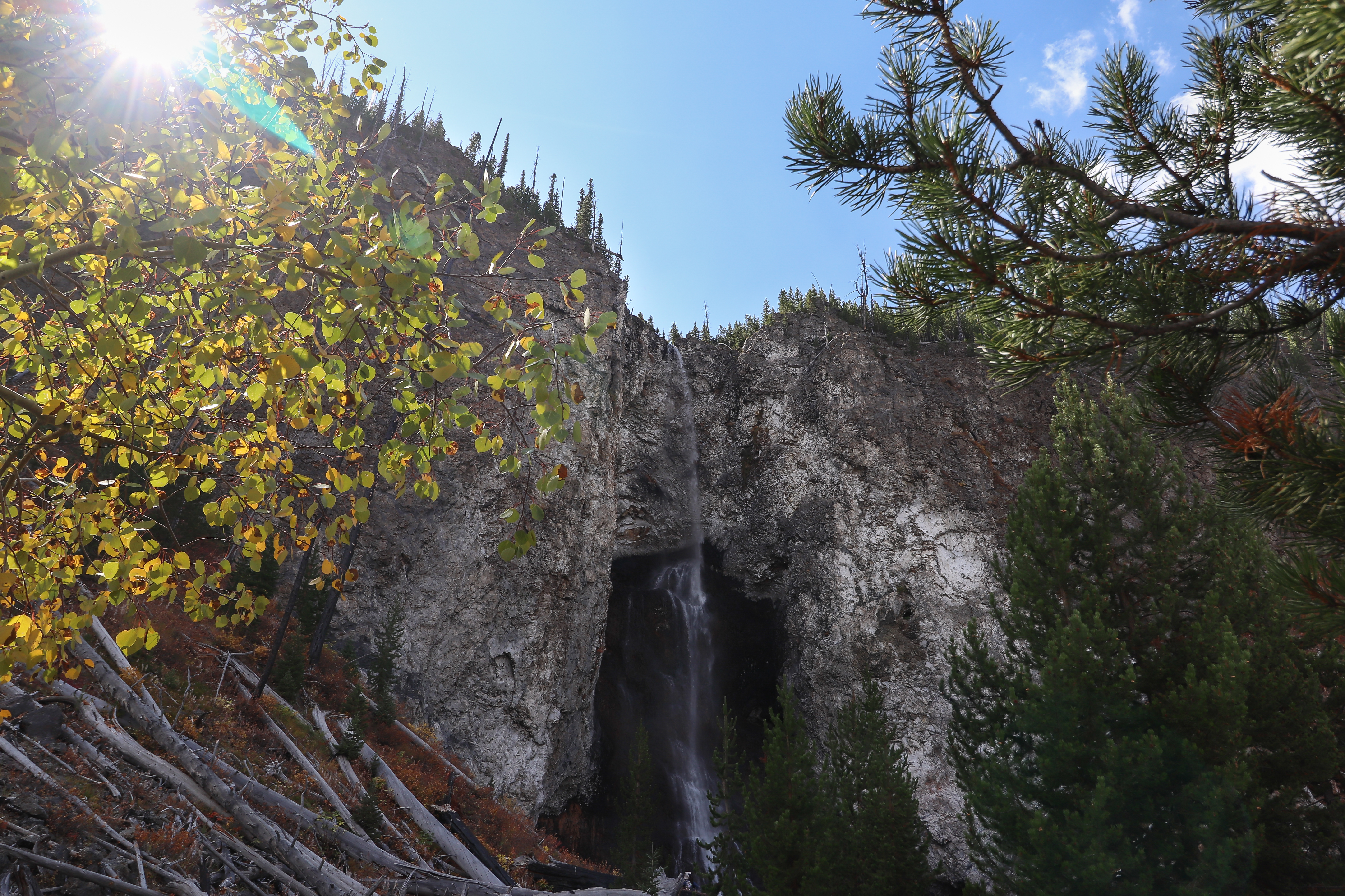 Fairy Falls Trailhead (OK5)HikingPhoto: Hansueli Krapf — Wikimedia Commons (CC BY-SA 4.0)0.9 mi
 Fairy Falls TrailHikingPhoto: Николай Максимович, CC BY 3.0 (via Wikimedia Commons)0.9 mi
- Fairy FallsHikingPhoto: Николай Максимович, CC BY 3.0 (via Wikimedia Commons)1.5 mi
- Powerline TrailHikingPhoto: Николай Максимович, CC BY 3.0 (via Wikimedia Commons)1.6 mi
- Lower Geyser Basin TrailHiking1.9 mi
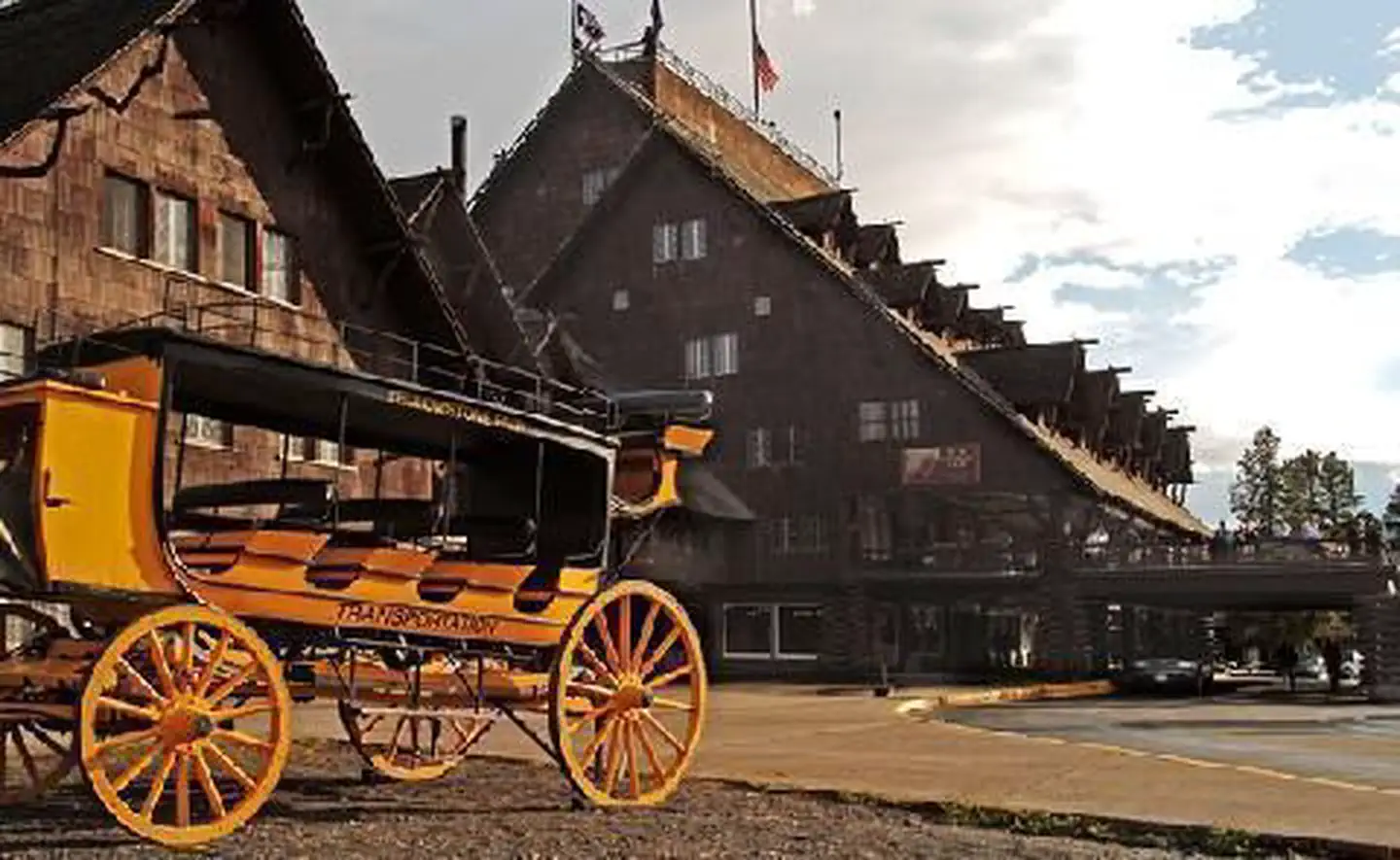 Old Faithful InnLake fishing4.7 mi
 Little Firehole RiverCanoeingPhoto: Yellowstone National Park, Public domain (via Wikimedia Commons)5.1 mi
 Firehole RiverCanoeingPhoto: Wing-Chi Poon, CC BY-SA 2.5 (via Wikimedia Commons)7.5 mi
Source: Roamze catalog (indexable pages within 10 miles, PostGIS distance)
- Grand Prismatic SpringHiking · Next door
- Fairy Falls TrailHiking · ~1 min drivePhoto: Николай Максимович, CC BY 3.0 (via Wikimedia Commons)
- FumarolesHiking · ~4 min drive
 Fairy Creek TrailHiking · ~6 min drivePhoto: Domenico Salvagnin from Legnaro, Italy, CC BY 2.0 (via Wikimedia Commons)
- Mystic Falls TrailHiking · ~6 min drivePhoto: Domenico Salvagnin from Legnaro, Italy, CC BY 2.0 (via Wikimedia Commons)
- Fairy Falls Trailhead (OK5)Hiking · ~1 min drive
- Red SpouterHiking · ~4 min drive
 Mallard Lake TrailHiking · ~8 min drivePhoto: aoiaio, CC BY 3.0 (via Wikimedia Commons)
 Fairy Falls TrailHiking · ~3 min drivePhoto: NASA's Earth Observatory, CC BY 2.0 (via Wikimedia Commons)
- ESCAPE to Yellowstone Award CertificateHiking · ~6 min drive
Also worth it near here
Best time to visit Midway Geyser Basin Trailhead
Best months: July–August. Best months have typical highs of 55–85 °F, lows of 30 °F or warmer (32 °F where the station doesn't record snow), at most one snowy day and no more than 12 wet days.
Jan
28° / 1°
14 wet
Feb
31° / 2°
12 wet
Mar
39° / 10°
13 wet
Apr
46° / 19°
12 wet
May
55° / 29°
13 wet
Jun
65° / 35°
13 wet
Jul
76° / 39°
10 wet
Aug
75° / 37°
9 wet
Sep
65° / 30°
9 wet
Oct
50° / 22°
10 wet
Nov
35° / 10°
12 wet
Dec
27° / 1°
15 wet
Typical high / low (°F) and days with rain or snow, 1991–2020. Measured at Old Faithful, WY, 4.9 mi away at 7,351 ft. This station doesn't record snowfall. Source: NOAA NCEI U.S. Climate Normals 1991–2020.

